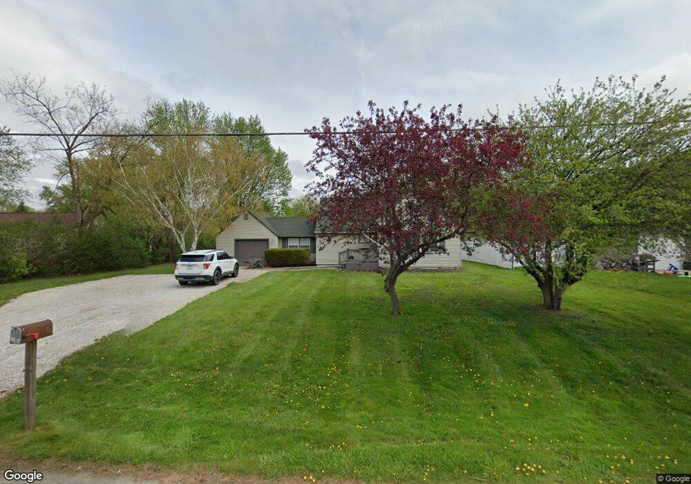
6175 Porter Rd Grand Blanc, MI 48439
Estimated Value: $181,000 - $207,000
3
Beds
1
Bath
992
Sq Ft
$198/Sq Ft
Est. Value
About This Home
This home is located at 6175 Porter Rd, Grand Blanc, MI 48439 and is currently estimated at $196,029, approximately $197 per square foot. 6175 Porter Rd is a home located in Genesee County with nearby schools including Anderson Elementary School, McGrath Elementary School, and Grand Blanc West Middle School.
Ownership History
Date
Name
Owned For
Owner Type
Purchase Details
Closed on
Nov 29, 2004
Sold by
Jackson Alphonso R
Bought by
Bittner Roger
Current Estimated Value
Purchase Details
Closed on
Oct 1, 2004
Sold by
Citimortgage Inc
Bought by
Hud
Purchase Details
Closed on
Jan 14, 2004
Sold by
Dilley Steven and Dilley Cori
Bought by
Source One Mortgage Corp
Purchase Details
Closed on
Nov 19, 1999
Sold by
Barber Gladys L and Barber Donald E
Bought by
Mcintosh Daniel D and Mcintosh Deborah A
Create a Home Valuation Report for This Property
The Home Valuation Report is an in-depth analysis detailing your home's value as well as a comparison with similar homes in the area
Home Values in the Area
Average Home Value in this Area
Purchase History
| Date | Buyer | Sale Price | Title Company |
|---|---|---|---|
| Bittner Roger | $95,012 | First American Title | |
| Hud | -- | Attorneys Title Agency Inc | |
| Source One Mortgage Corp | $137,075 | -- | |
| Mcintosh Daniel D | $51,000 | Sargents Abstract & Title Co | |
| Dilley Steven W | $116,000 | Metropolitan Title Company |
Source: Public Records
Tax History Compared to Growth
Tax History
| Year | Tax Paid | Tax Assessment Tax Assessment Total Assessment is a certain percentage of the fair market value that is determined by local assessors to be the total taxable value of land and additions on the property. | Land | Improvement |
|---|---|---|---|---|
| 2025 | $2,926 | $68,300 | $0 | $0 |
| 2024 | $1,333 | $62,900 | $0 | $0 |
| 2023 | $1,271 | $60,000 | $0 | $0 |
| 2022 | $2,538 | $50,100 | $0 | $0 |
| 2021 | $2,506 | $56,300 | $0 | $0 |
| 2020 | $1,172 | $55,200 | $0 | $0 |
| 2019 | $1,155 | $45,400 | $0 | $0 |
| 2018 | $3,160 | $45,100 | $0 | $0 |
| 2017 | $3,061 | $42,600 | $0 | $0 |
| 2016 | $3,054 | $42,900 | $0 | $0 |
| 2015 | $2,963 | $42,600 | $0 | $0 |
| 2012 | -- | $42,500 | $42,500 | $0 |
Source: Public Records
Map
Nearby Homes
- 6314 Woodsdale Dr
- 6094 Grove Ave
- 6230 Woodsdale Dr
- 6085 Westdale Dr
- 00 S Dort Hwy
- 2346 Rollins St
- 5391 Antoinette Dr
- VL S Saginaw St
- 5368 Boland Dr
- 1234 Fisher Heights
- 3049 Baker Heights
- 00 Durant Heights
- 01 S Saginaw St
- 000 S Saginaw St
- 00 S Saginaw St
- 5400 Ali Dr
- 3092 Durant Heights
- 00 Sloan Heights
- 00 Reid Rd
- 2161 Neeper St
- 6161 Porter Rd
- 6191 Porter Rd
- 6352 Woodsdale Dr
- 6344 Woodsdale Dr
- 6155 Porter Rd
- 6330 Woodsdale Dr
- 6336 Woodsdale Dr
- 2280 Edwards St
- 6153 Porter Rd
- 2288 Edwards St
- 6322 Woodsdale Dr
- 6172 Grove Ave
- 6209 Porter Rd
- 6143 Porter Rd
- 6160 Grove Ave
- 2298 Edwards St
- 6347 Woodsdale Dr
- 2304 Edwards St
- 6341 Woodsdale Dr
- 6141 Porter Rd