Estimated Value: $874,000 - $938,000
5
Beds
4
Baths
2,286
Sq Ft
$397/Sq Ft
Est. Value
About This Home
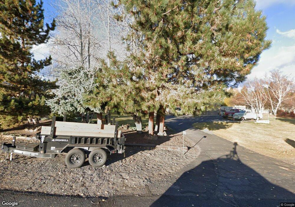
This home is located at 61773 Wickiup Rd, Bend, OR 97702 and is currently estimated at $907,598, approximately $397 per square foot. 61773 Wickiup Rd is a home located in Deschutes County with nearby schools including Silver Rail Elementary School, High Desert Middle School, and Bend Senior High School.
Ownership History
Date
Name
Owned For
Owner Type
Purchase Details
Closed on
Aug 10, 2011
Sold by
Federal Home Loan Mortgage Corporation
Bought by
Mcculley Charles R and Mcculley Stephanie S
Current Estimated Value
Home Financials for this Owner
Home Financials are based on the most recent Mortgage that was taken out on this home.
Original Mortgage
$192,000
Outstanding Balance
$131,590
Interest Rate
4.43%
Mortgage Type
New Conventional
Estimated Equity
$776,008
Purchase Details
Closed on
Mar 7, 2011
Sold by
Miller Darcy and Miller Kevin C
Bought by
Federal Home Loan Mortgage Corp
Create a Home Valuation Report for This Property
The Home Valuation Report is an in-depth analysis detailing your home's value as well as a comparison with similar homes in the area
Home Values in the Area
Average Home Value in this Area
Purchase History
| Date | Buyer | Sale Price | Title Company |
|---|---|---|---|
| Mcculley Charles R | $240,000 | Amerititle | |
| Federal Home Loan Mortgage Corp | $310,000 | Accommodation |
Source: Public Records
Mortgage History
| Date | Status | Borrower | Loan Amount |
|---|---|---|---|
| Open | Mcculley Charles R | $192,000 |
Source: Public Records
Tax History Compared to Growth
Tax History
| Year | Tax Paid | Tax Assessment Tax Assessment Total Assessment is a certain percentage of the fair market value that is determined by local assessors to be the total taxable value of land and additions on the property. | Land | Improvement |
|---|---|---|---|---|
| 2025 | $6,616 | $441,700 | -- | -- |
| 2024 | $6,330 | $428,840 | -- | -- |
| 2023 | $5,957 | $416,350 | $0 | $0 |
| 2022 | $5,493 | $392,460 | $0 | $0 |
| 2021 | $5,527 | $381,030 | $0 | $0 |
| 2020 | $5,218 | $381,030 | $0 | $0 |
| 2019 | $5,071 | $369,940 | $0 | $0 |
| 2018 | $4,923 | $359,170 | $0 | $0 |
| 2017 | $4,793 | $348,710 | $0 | $0 |
| 2016 | $4,554 | $338,560 | $0 | $0 |
| 2015 | $4,426 | $328,700 | $0 | $0 |
| 2014 | $4,283 | $319,130 | $0 | $0 |
Source: Public Records
Map
Nearby Homes
- 61855 Dobbin Rd
- 61900 Anker Ln
- 21897 Obsidian Ave
- 21925 Bear Creek Rd
- 61662 Thunder Rd
- 61955 Somerset Dr
- 21426 Livingston Dr Unit 18
- 21495 O'Connor Way
- 21432 Livingston Dr
- 21428 Livingston Dr
- 21493 O'Connor Way
- 21430 Livingston Dr Unit 20
- 21491 O'Connor Way
- 21430 Livingston Dr
- 21283 Dove Ln
- 61698 Rigel Way
- 61704 Marigold Ln
- 21362 Livingston Dr
- 62085 Wolcott Place
- 21323 Oconnor Way
- 61787 Wickiup Rd
- 61767 Wickiup Rd
- 61801 Wickiup Rd
- 61774 Tomahawk St
- 61747 Wickiup Rd
- 61774 Wickiup Rd
- 61760 Tomahawk St
- 61803 Wickiup Rd
- 61754 Wickiup Rd
- 21758 Obsidian Ave
- 61765 Tomahawk St
- 61775 Tomahawk St
- 21780 Obsidian Ave
- 61858 Dobbin Rd
- 61755 Tomahawk St
- 219000 Obsidian Ave
- 61835 Walter Ct
- 61785 Somerset Dr
- 61806 Wickiup Rd