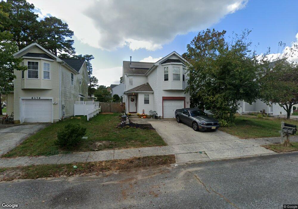
6178 Towhee Ln Mays Landing, NJ 08330
Estimated Value: $259,278 - $362,000
--
Bed
--
Bath
1,380
Sq Ft
$238/Sq Ft
Est. Value
About This Home
This home is located at 6178 Towhee Ln, Mays Landing, NJ 08330 and is currently estimated at $329,070, approximately $238 per square foot. 6178 Towhee Ln is a home located in Atlantic County with nearby schools including Joseph Shaner School, George L. Hess Educational Complex, and William Davies Middle School.
Ownership History
Date
Name
Owned For
Owner Type
Purchase Details
Closed on
Mar 3, 2010
Sold by
Perez Ruben J and Perez Bernadette
Bought by
Perez Ruben J
Current Estimated Value
Purchase Details
Closed on
May 10, 1993
Sold by
Stanton Bryon L
Bought by
Perez Ruben
Purchase Details
Closed on
Sep 7, 1990
Sold by
Dayco Investment Corporation
Bought by
Stanton Bryon L and Stanton Whittington,A
Create a Home Valuation Report for This Property
The Home Valuation Report is an in-depth analysis detailing your home's value as well as a comparison with similar homes in the area
Home Values in the Area
Average Home Value in this Area
Purchase History
| Date | Buyer | Sale Price | Title Company |
|---|---|---|---|
| Perez Ruben J | -- | None Available | |
| Perez Ruben | $101,000 | -- | |
| Stanton Bryon L | $101,500 | -- |
Source: Public Records
Tax History Compared to Growth
Tax History
| Year | Tax Paid | Tax Assessment Tax Assessment Total Assessment is a certain percentage of the fair market value that is determined by local assessors to be the total taxable value of land and additions on the property. | Land | Improvement |
|---|---|---|---|---|
| 2025 | $5,164 | $150,500 | $32,000 | $118,500 |
| 2024 | $5,164 | $150,500 | $32,000 | $118,500 |
| 2023 | $4,855 | $150,500 | $32,000 | $118,500 |
| 2022 | $4,855 | $150,500 | $32,000 | $118,500 |
| 2021 | $4,845 | $150,500 | $32,000 | $118,500 |
| 2020 | $4,845 | $150,500 | $32,000 | $118,500 |
| 2019 | $4,857 | $150,500 | $32,000 | $118,500 |
| 2018 | $4,687 | $150,500 | $32,000 | $118,500 |
| 2017 | $4,613 | $150,500 | $32,000 | $118,500 |
| 2016 | $4,829 | $162,100 | $42,000 | $120,100 |
| 2015 | $4,665 | $162,100 | $42,000 | $120,100 |
| 2014 | $4,645 | $176,800 | $47,000 | $129,800 |
Source: Public Records
Map
Nearby Homes
- 0 Harding Hwy Unit 597638
- 0 Harding Hwy Unit NJAC2019438
- 6140 Robin Dr
- 6302 Palmer Ave
- 87 Devon Rd
- 6251 Old Harding Hwy
- 6206 Roberts Ave
- 6314 Lance Ave
- 37 Delancy Ct
- 6310 Phillips Ave
- 6301 Knight Ave
- 6126 Longwood Ave
- 16 Holly Ct
- 24 Holly Ct
- 80 Mill St
- 13 Hickory Ln
- 14 Hickory Ln
- 9 Oaks Dr Unit 341
- 10 Locust Ct
- 1305 Matthews Ave