618 Ashton Ct NW Carolina Shor, NC 28467
Estimated Value: $605,511 - $645,000
4
Beds
4
Baths
3,306
Sq Ft
$188/Sq Ft
Est. Value
About This Home
This home is located at 618 Ashton Ct NW, Carolina Shor, NC 28467 and is currently estimated at $622,378, approximately $188 per square foot. 618 Ashton Ct NW is a home located in Brunswick County with nearby schools including Jessie Mae Monroe Elementary School, Shallotte Middle School, and West Brunswick High School.
Ownership History
Date
Name
Owned For
Owner Type
Purchase Details
Closed on
Jan 30, 2023
Sold by
S & D Pett Real Estate Llc
Bought by
S & D Pett Holdings Llc
Current Estimated Value
Purchase Details
Closed on
Dec 8, 2022
Sold by
Hand Jeffrey Robert and Hand Kathryn Renee
Bought by
Brunswick County
Purchase Details
Closed on
Dec 12, 2019
Sold by
Gregory Alferette M
Bought by
Hand Jeffrey Robert and Hand Kathryn Renee
Home Financials for this Owner
Home Financials are based on the most recent Mortgage that was taken out on this home.
Original Mortgage
$200,000
Interest Rate
3.6%
Mortgage Type
New Conventional
Purchase Details
Closed on
Mar 24, 2005
Sold by
Caw Caw Land Corp
Bought by
Gregory Percell K and Gregory Alferette M
Create a Home Valuation Report for This Property
The Home Valuation Report is an in-depth analysis detailing your home's value as well as a comparison with similar homes in the area
Home Values in the Area
Average Home Value in this Area
Purchase History
| Date | Buyer | Sale Price | Title Company |
|---|---|---|---|
| S & D Pett Holdings Llc | -- | -- | |
| S & D Pett Holdings Llc | -- | None Listed On Document | |
| Brunswick County | -- | -- | |
| Hand Jeffrey Robert | $368,000 | None Available | |
| Gregory Percell K | $74,000 | None Available |
Source: Public Records
Mortgage History
| Date | Status | Borrower | Loan Amount |
|---|---|---|---|
| Previous Owner | Hand Jeffrey Robert | $200,000 |
Source: Public Records
Tax History Compared to Growth
Tax History
| Year | Tax Paid | Tax Assessment Tax Assessment Total Assessment is a certain percentage of the fair market value that is determined by local assessors to be the total taxable value of land and additions on the property. | Land | Improvement |
|---|---|---|---|---|
| 2025 | -- | $609,470 | $37,500 | $571,970 |
| 2024 | $2,684 | $609,470 | $37,500 | $571,970 |
| 2023 | $2,416 | $557,040 | $37,500 | $519,540 |
| 2022 | $0 | $415,680 | $40,000 | $375,680 |
| 2021 | $2,235 | $415,680 | $40,000 | $375,680 |
| 2020 | $2,235 | $409,130 | $40,000 | $369,130 |
| 2019 | $2,235 | $44,510 | $40,000 | $4,510 |
| 2018 | $2,052 | $50,400 | $45,000 | $5,400 |
| 2017 | $2,052 | $50,400 | $45,000 | $5,400 |
| 2016 | $1,977 | $50,400 | $45,000 | $5,400 |
| 2015 | $1,977 | $390,810 | $45,000 | $345,810 |
| 2014 | $1,609 | $340,873 | $65,000 | $275,873 |
Source: Public Records
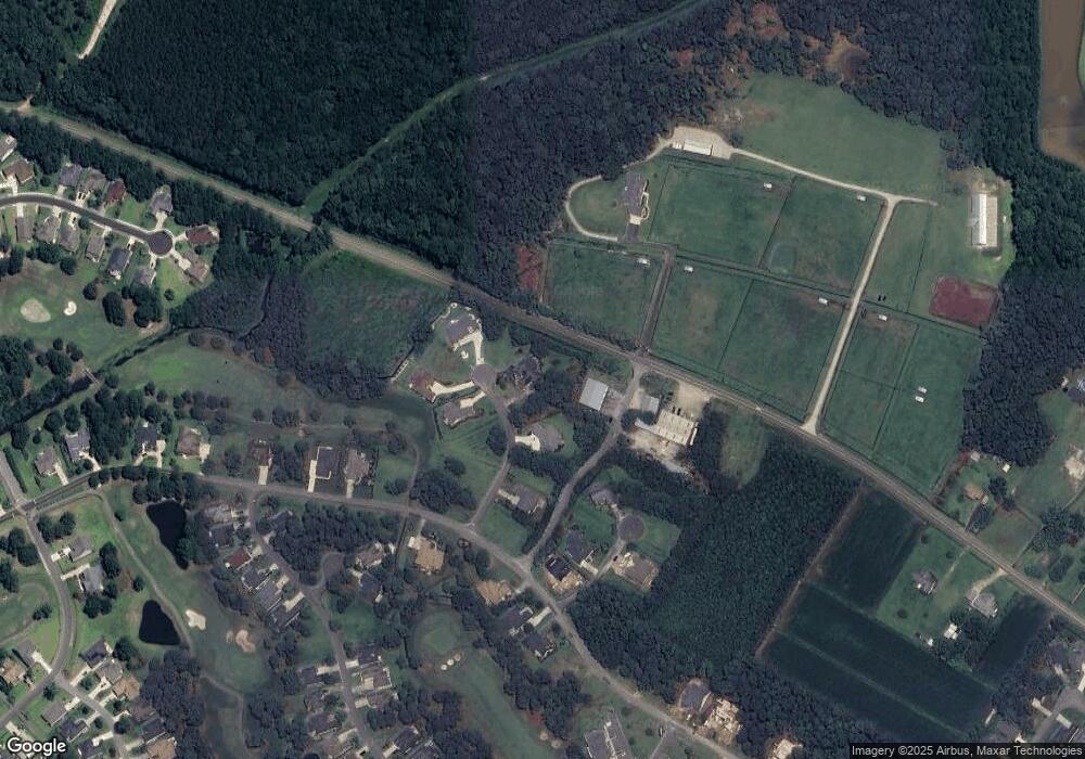
Map
Nearby Homes
- 604 Amherst Ct NW
- 1071 N Middleton Dr NW
- 1058 N Middleton Dr NW
- 1215 N Middleton Dr NW Unit 2801
- 1215 N Middleton Dr NW Unit 2505
- 1215 N Middleton Dr NW Unit 2209
- 1215 N Middleton Dr NW Unit 2308
- 1215 N Middleton Dr NW Unit 2204
- 1215 N Middleton Dr NW Unit 2409
- 1215 N Middleton Dr NW Unit 2406
- 1215 N Middleton Dr NW Unit 3005
- 1215 N Middleton Dr NW Unit 2504
- 2096 NE Wild Indigo Cir Unit 198
- 1109 Treyburn Ct NW
- 1114 Treyburn Ct NW
- 1103 Treyburn Ct NW
- 2080 NE Wild Indigo Cir Unit 202
- 1096 Rutledge Ct NW
- Emmy Plan at Brunswick Plantation
- Saratoga Plan at Brunswick Plantation
- 602 Ashton Ct NW
- 601 Ashton Ct NW
- 613 Ashton Ct NW
- 626 Ashton Ct NW
- 605 Ashton Ct NW
- 604 Ashton Ct NW
- 606 Ashton Ct NW
- 614 Ashton Ct NW
- 621 Ashton Ct NW
- 622 Ashton Ct NW
- 615 Bingham Ct NW
- 623 Ashton Ct NW
- 605 Bingham Ct NW
- 629 Ashton Ct NW
- 1189 N Middleton Dr NW
- 1195 N Middleton Dr NW
- 618 Bingham Ct NW
- 611 Bingham Ct NW
- 610 Bingham Ct NW
- 601 Bingham Ct NW