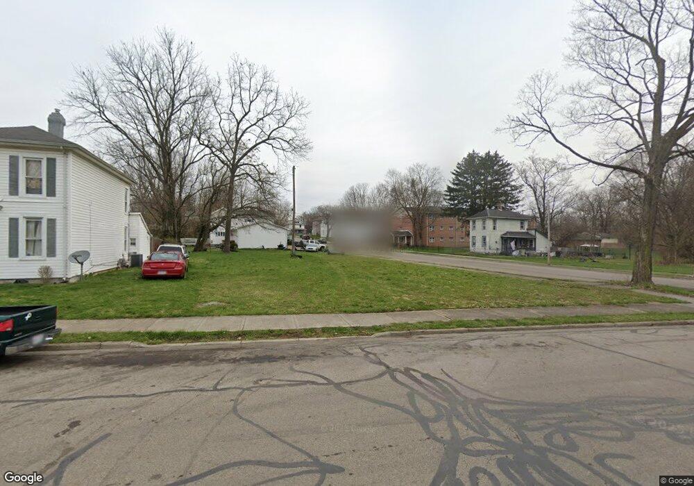
618 Chestnut Ave Unit 620 Springfield, OH 45503
Estimated Value: $65,155 - $131,000
4
Beds
2
Baths
2,184
Sq Ft
$42/Sq Ft
Est. Value
About This Home
This home is located at 618 Chestnut Ave Unit 620, Springfield, OH 45503 and is currently estimated at $92,789, approximately $42 per square foot. 618 Chestnut Ave Unit 620 is a home located in Clark County with nearby schools including Lagonda Elementary School, Roosevelt Middle School, and Springfield High School.
Ownership History
Date
Name
Owned For
Owner Type
Purchase Details
Closed on
Dec 12, 2005
Sold by
Fat Cat Enterprises Llc
Bought by
Babers Michael A
Current Estimated Value
Home Financials for this Owner
Home Financials are based on the most recent Mortgage that was taken out on this home.
Original Mortgage
$76,500
Outstanding Balance
$49,379
Interest Rate
9.35%
Mortgage Type
Fannie Mae Freddie Mac
Estimated Equity
$43,410
Create a Home Valuation Report for This Property
The Home Valuation Report is an in-depth analysis detailing your home's value as well as a comparison with similar homes in the area
Home Values in the Area
Average Home Value in this Area
Purchase History
| Date | Buyer | Sale Price | Title Company |
|---|---|---|---|
| Babers Michael A | $85,000 | Jets Title Agency Llc |
Source: Public Records
Mortgage History
| Date | Status | Borrower | Loan Amount |
|---|---|---|---|
| Open | Babers Michael A | $76,500 |
Source: Public Records
Tax History
| Year | Tax Paid | Tax Assessment Tax Assessment Total Assessment is a certain percentage of the fair market value that is determined by local assessors to be the total taxable value of land and additions on the property. | Land | Improvement |
|---|---|---|---|---|
| 2025 | $19,072 | $1,300 | $1,300 | -- |
| 2024 | $35,717 | $1,250 | $1,250 | -- |
| 2023 | $17,873 | $1,250 | $1,250 | $0 |
| 2022 | $33,864 | $1,250 | $1,250 | $0 |
| 2021 | $51 | $920 | $920 | $0 |
| 2020 | $4,005 | $920 | $920 | $0 |
| 2019 | $3,908 | $920 | $920 | $0 |
| 2018 | $710 | $12,700 | $1,850 | $10,850 |
| 2017 | $747 | $12,702 | $1,848 | $10,854 |
| 2016 | $748 | $12,702 | $1,848 | $10,854 |
| 2015 | $5,808 | $12,296 | $1,848 | $10,448 |
| 2014 | $699 | $12,296 | $1,848 | $10,448 |
| 2013 | $2,335 | $12,296 | $1,848 | $10,448 |
Source: Public Records
Map
Nearby Homes
- 802 Warder St
- 726 E Madison Ave
- 242 Chestnut Ave
- 412 E Madison Ave
- 836-838 Rodgers Dr
- 368 E Madison Ave
- 825-827 Elm St
- 469 E Cecil St Unit 471
- 469-471 E Cecil St
- 0 Mitchell Blvd
- 1105 Farlow St
- 1015 Rodgers Dr
- 114-116 E Ward St
- 1009 Elm St
- 736 E Northern Ave
- 33-35 E Ward St
- 1223 Lagonda Ave
- 29 E Ward St
- 14 N Freeman St
- 307 E Northern Ave
- 513 N Murray St
- 612 Chestnut Ave
- 608 Chestnut Ave
- 516 N Murray St
- 506 N Murray St
- 611 Chestnut Ave
- 523 N Murray St
- 605 Chestnut Ave Unit 607
- 527 N Murray St
- 564 Chestnut Ave
- 567 Chestnut Ave
- 531 N Murray St Unit 533
- 560 Chestnut Ave
- 534 N Murray St
- 559 Chestnut Ave
- 556 Chestnut Ave
- 611 Sherman Ave
- 538 N Murray St
- 551 Chestnut Ave
- 582 Mount Vernon Ave
Your Personal Tour Guide
Ask me questions while you tour the home.