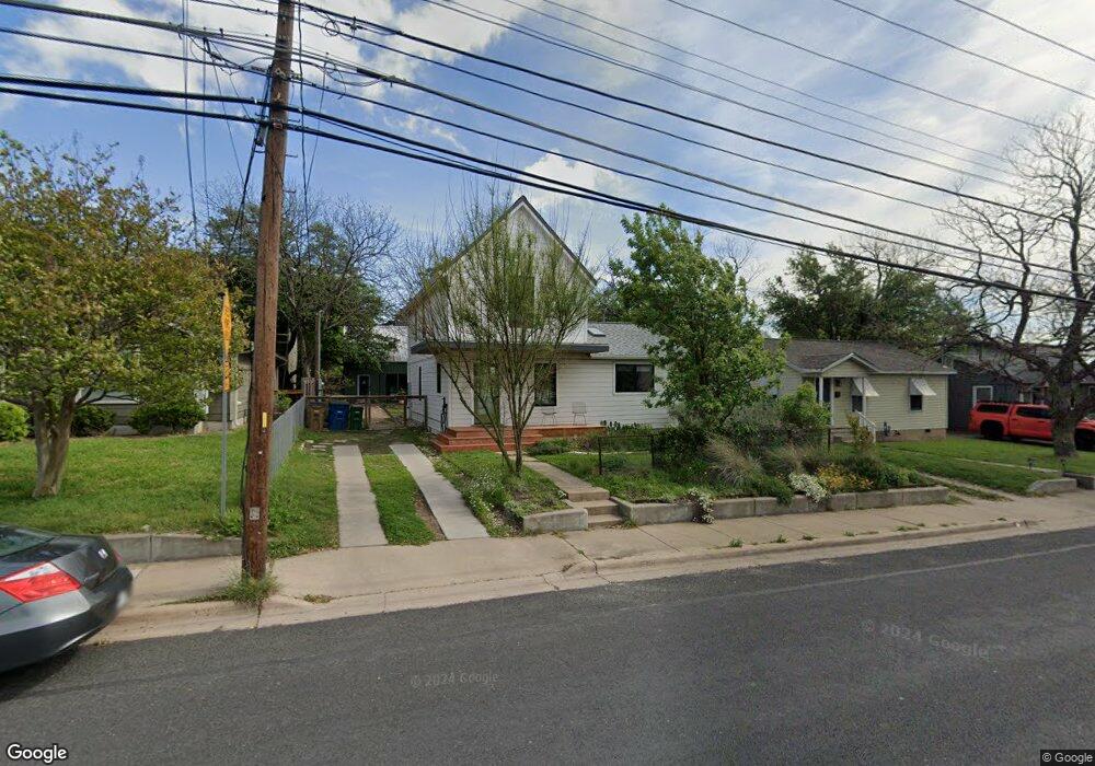
618 Denson Dr Unit A Austin, TX 78752
Highland NeighborhoodEstimated Value: $843,000 - $886,000
3
Beds
2
Baths
1,708
Sq Ft
$510/Sq Ft
Est. Value
About This Home
This home is located at 618 Denson Dr Unit A, Austin, TX 78752 and is currently estimated at $871,173, approximately $510 per square foot. 618 Denson Dr Unit A is a home located in Travis County with nearby schools including Reilly Elementary School, Lamar Middle School, and McCallum High School.
Ownership History
Date
Name
Owned For
Owner Type
Purchase Details
Closed on
Mar 6, 2018
Sold by
Schkade Floyd W and Schkade Mary Ann
Bought by
Beaton Matthew W and Beaton Anlyson J
Current Estimated Value
Home Financials for this Owner
Home Financials are based on the most recent Mortgage that was taken out on this home.
Original Mortgage
$279,600
Outstanding Balance
$238,275
Interest Rate
4.15%
Mortgage Type
New Conventional
Estimated Equity
$632,898
Create a Home Valuation Report for This Property
The Home Valuation Report is an in-depth analysis detailing your home's value as well as a comparison with similar homes in the area
Home Values in the Area
Average Home Value in this Area
Purchase History
| Date | Buyer | Sale Price | Title Company |
|---|---|---|---|
| Beaton Matthew W | -- | Independence Title Co |
Source: Public Records
Mortgage History
| Date | Status | Borrower | Loan Amount |
|---|---|---|---|
| Open | Beaton Matthew W | $279,600 |
Source: Public Records
Map
Nearby Homes
- 618 Denson Dr
- 605 Wilmes Dr Unit 1
- 6324 N Lamar Blvd Unit 213
- 6324 N Lamar Blvd Unit 419
- 6324 N Lamar Blvd Unit 206
- 6409 Burns St Unit 306
- 1105 Alegria Rd
- 611 Gaylor St Unit 2
- 1101 Romeria Dr
- 1004 Karen Ave
- 6511 Chesterfield Ave
- 1209 Romeria Dr
- 818 Stark St Unit A
- 820 Stark St
- 1216 Arcadia Ave Unit 1
- 1304 Palo Duro Rd Unit B
- 1208 Karen Ave Unit 1
- 1208 Karen Ave Unit 3
- 1309 Alguno Rd Unit 1
- 200 W 56th St Unit 8104
- 616 Denson Dr
- 620 Denson Dr Unit B
- 620 Denson Dr
- 614 Denson Dr
- 619 Hammack Dr
- 619 Hammack Dr Unit 2
- 619 Hammack Dr Unit 1
- 617 Hammack Dr
- 621 Hammack Dr
- 612 Denson Dr
- 700 Denson Dr
- 700 Denson Dr Unit 2102
- 700 Denson Dr Unit 1103
- 700 Denson Dr Unit 1102
- 700 Denson Dr Unit 1104
- 700 Denson Dr Unit 2101
- 700 Denson Dr Unit 1101
- 615 Hammack Dr
- 613 Hammack Dr
- 6204 Burns St
Your Personal Tour Guide
Ask me questions while you tour the home.