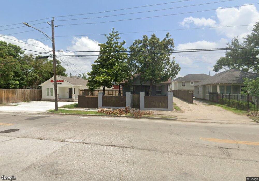
618 E 20th St Unit A Houston, TX 77008
Greater Heights NeighborhoodEstimated Value: $608,000 - $1,092,000
3
Beds
3
Baths
2,700
Sq Ft
$302/Sq Ft
Est. Value
About This Home
This home is located at 618 E 20th St Unit A, Houston, TX 77008 and is currently estimated at $815,229, approximately $301 per square foot. 618 E 20th St Unit A is a home located in Harris County with nearby schools including Field Elementary School, Hamilton Middle, and Heights High School.
Ownership History
Date
Name
Owned For
Owner Type
Purchase Details
Closed on
Jan 24, 2005
Sold by
Schneider Aron and Schneider Kara
Bought by
Ramos Bruno A
Current Estimated Value
Home Financials for this Owner
Home Financials are based on the most recent Mortgage that was taken out on this home.
Original Mortgage
$216,000
Interest Rate
6.22%
Mortgage Type
Purchase Money Mortgage
Purchase Details
Closed on
Aug 15, 2000
Sold by
Gordon Phillis Michele Clark
Bought by
Schneider Aron and Schneider Kara
Home Financials for this Owner
Home Financials are based on the most recent Mortgage that was taken out on this home.
Original Mortgage
$209,234
Interest Rate
8.22%
Mortgage Type
FHA
Purchase Details
Closed on
Nov 19, 1993
Sold by
Gordon Steven Jan
Bought by
Gordon Phillis Michele Clark
Create a Home Valuation Report for This Property
The Home Valuation Report is an in-depth analysis detailing your home's value as well as a comparison with similar homes in the area
Home Values in the Area
Average Home Value in this Area
Purchase History
| Date | Buyer | Sale Price | Title Company |
|---|---|---|---|
| Ramos Bruno A | -- | Alamo Title | |
| Schneider Aron | -- | American Title Co | |
| Gordon Phillis Michele Clark | -- | -- |
Source: Public Records
Mortgage History
| Date | Status | Borrower | Loan Amount |
|---|---|---|---|
| Previous Owner | Ramos Bruno A | $216,000 | |
| Previous Owner | Schneider Aron | $209,234 |
Source: Public Records
Tax History
| Year | Tax Paid | Tax Assessment Tax Assessment Total Assessment is a certain percentage of the fair market value that is determined by local assessors to be the total taxable value of land and additions on the property. | Land | Improvement |
|---|---|---|---|---|
| 2025 | $16,212 | $773,277 | $698,250 | $75,027 |
| 2024 | $16,212 | $774,838 | $661,500 | $113,338 |
| 2023 | $16,212 | $708,828 | $661,500 | $47,328 |
| 2022 | $14,995 | $681,000 | $588,000 | $93,000 |
| 2021 | $12,795 | $548,983 | $492,450 | $56,533 |
| 2020 | $13,630 | $562,846 | $477,750 | $85,096 |
| 2019 | $13,889 | $548,880 | $455,700 | $93,180 |
| 2018 | $12,399 | $490,000 | $441,000 | $49,000 |
| 2017 | $12,390 | $490,000 | $441,000 | $49,000 |
| 2016 | $10,164 | $479,372 | $370,500 | $108,872 |
| 2015 | $6,688 | $449,641 | $308,750 | $140,891 |
| 2014 | $6,688 | $406,534 | $296,400 | $110,134 |
Source: Public Records
Map
Nearby Homes
- 613 E 21st St
- 710 E 18th St
- 2012 Sheldon St
- 2014 Sheldon St
- 731 Wilken St
- 1811 & 1815 Studewood St
- 714 Wilken St
- 2119 Carter St
- 2116 Carter St
- 1828 Arlington St
- 2222 Oxford St
- 1124 Dunbar St
- 1122 Louise St
- 741 E 16th St
- 1822 Cortlandt St
- 2219 Columbia St
- 1810 Cortlandt St
- 1106 Robbie St
- 602 E 24th St
- 1847 Cortlandt St
- 618 E 20th St
- 620 E 20th St
- 616 E 20th St
- 616 E 20th St Unit A
- 1915 Bradshaw St
- 614 E 20
- 614 E 20th St
- 614 E East 20th St
- 1911 Bradshaw St
- 1911 Bradshaw St Unit A
- 622 E 20th St
- 612 E 20th St Unit C
- 612 E 20th St Unit D
- 612 E 20th St Unit B
- 625 E 19th St
- 1905 Bradshaw St
- 629 E 19th St
- 619 E 19th St
- 617 E 19th St
- 621 & 617 E 20th St
Your Personal Tour Guide
Ask me questions while you tour the home.