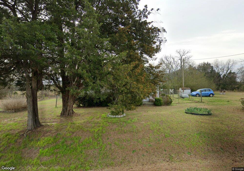
618 George McDuffie Rd Thomson, GA 30824
Estimated Value: $93,204 - $165,000
2
Beds
1
Bath
832
Sq Ft
$151/Sq Ft
Est. Value
About This Home
This home is located at 618 George McDuffie Rd, Thomson, GA 30824 and is currently estimated at $125,401, approximately $150 per square foot. 618 George McDuffie Rd is a home located in McDuffie County with nearby schools including Thomson High School.
Ownership History
Date
Name
Owned For
Owner Type
Purchase Details
Closed on
Dec 15, 2006
Sold by
Treadwell Cheryl Moore
Bought by
Stribel Eugene Victor
Current Estimated Value
Home Financials for this Owner
Home Financials are based on the most recent Mortgage that was taken out on this home.
Original Mortgage
$46,055
Outstanding Balance
$27,070
Interest Rate
6.19%
Mortgage Type
New Conventional
Estimated Equity
$98,331
Purchase Details
Closed on
Jan 31, 2003
Bought by
Moore Cheryl
Purchase Details
Closed on
Sep 17, 1999
Sold by
Newton Charles G
Bought by
Moore Cheryl
Purchase Details
Closed on
Sep 9, 1999
Sold by
Albert H Dallas
Bought by
Newton Charles G
Purchase Details
Closed on
May 26, 1995
Sold by
Montgomery Larry L
Bought by
Byrd Robert
Create a Home Valuation Report for This Property
The Home Valuation Report is an in-depth analysis detailing your home's value as well as a comparison with similar homes in the area
Home Values in the Area
Average Home Value in this Area
Purchase History
| Date | Buyer | Sale Price | Title Company |
|---|---|---|---|
| Stribel Eugene Victor | $55,000 | -- | |
| Moore Cheryl | -- | -- | |
| Moore Cheryl | $35,000 | -- | |
| Newton Charles G | $30,000 | -- | |
| Byrd Robert | $7,500 | -- |
Source: Public Records
Mortgage History
| Date | Status | Borrower | Loan Amount |
|---|---|---|---|
| Open | Stribel Eugene Victor | $46,055 |
Source: Public Records
Tax History Compared to Growth
Tax History
| Year | Tax Paid | Tax Assessment Tax Assessment Total Assessment is a certain percentage of the fair market value that is determined by local assessors to be the total taxable value of land and additions on the property. | Land | Improvement |
|---|---|---|---|---|
| 2025 | $301 | $26,194 | $3,142 | $23,052 |
| 2024 | $301 | $24,744 | $2,831 | $21,913 |
| 2023 | $280 | $23,884 | $2,831 | $21,053 |
| 2022 | $183 | $20,102 | $2,831 | $17,271 |
| 2021 | $70 | $16,394 | $2,748 | $13,646 |
| 2020 | $429 | $15,060 | $2,170 | $12,890 |
| 2019 | $429 | $15,060 | $2,170 | $12,890 |
| 2018 | $0 | $15,060 | $2,170 | $12,890 |
| 2017 | $378 | $15,060 | $2,170 | $12,890 |
| 2016 | $378 | $15,060 | $2,170 | $12,890 |
| 2015 | $32 | $16,290 | $3,400 | $12,890 |
| 2014 | $32 | $16,290 | $3,400 | $12,890 |
| 2013 | -- | $16,290 | $3,400 | $12,890 |
Source: Public Records
Map
Nearby Homes
- 789 George McDuffie Rd
- 1543 Wrens Hwy
- 000 Wrens Hwy
- 1761 Augusta Hwy
- 1008 Wrens Hwy
- 0 Wrens Hwy Unit 10652460
- 0 Wrens Hwy Unit 549833
- 1463 Lokey Dr
- 415 Stonewall Dr
- 118 Langham St
- 306 Michael St
- 354 King St
- 709 Pine Lane Dr
- 416 Forrest Clary Dr
- 67 Shadowmoor Cir
- 609 Hillcrest Dr
- 2522 Ellington Airline Rd
- 421 Salem Rd
- A-00 Harrison Rd
- 0 Mitchner Rd Unit 548843