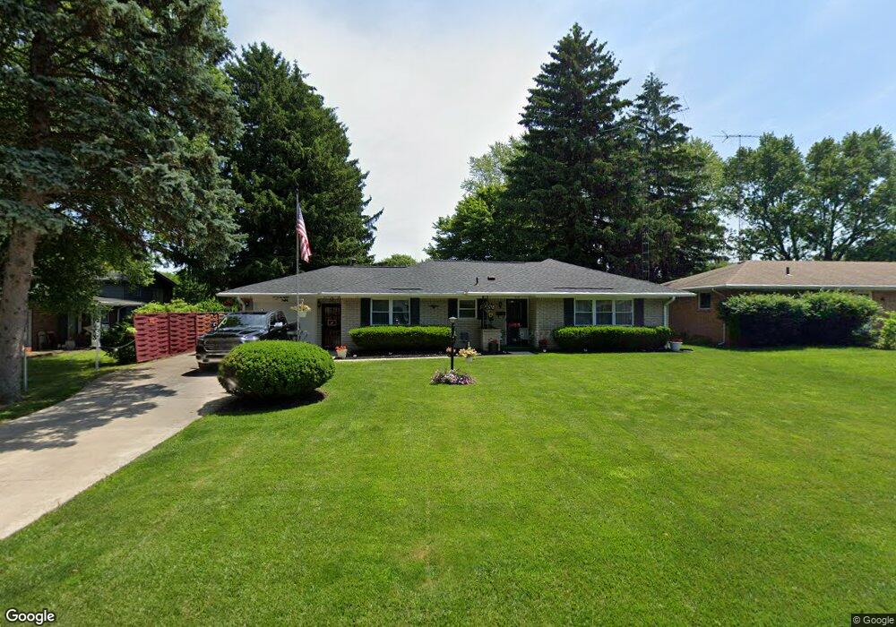
618 Jamestown Dr Toledo, OH 43607
Scott Park NeighborhoodEstimated Value: $136,000 - $165,656
3
Beds
2
Baths
1,092
Sq Ft
$135/Sq Ft
Est. Value
About This Home
This home is located at 618 Jamestown Dr, Toledo, OH 43607 and is currently estimated at $146,914, approximately $134 per square foot. 618 Jamestown Dr is a home located in Lucas County with nearby schools including Keyser Elementary School, Rogers High School, and Winterfield Venture Academy.
Ownership History
Date
Name
Owned For
Owner Type
Purchase Details
Closed on
Aug 18, 2020
Sold by
Sebree Roy D
Bought by
Brown Carlton
Current Estimated Value
Home Financials for this Owner
Home Financials are based on the most recent Mortgage that was taken out on this home.
Original Mortgage
$88,369
Outstanding Balance
$62,747
Interest Rate
3%
Mortgage Type
FHA
Estimated Equity
$84,167
Create a Home Valuation Report for This Property
The Home Valuation Report is an in-depth analysis detailing your home's value as well as a comparison with similar homes in the area
Home Values in the Area
Average Home Value in this Area
Purchase History
| Date | Buyer | Sale Price | Title Company |
|---|---|---|---|
| Brown Carlton | $90,000 | None Available |
Source: Public Records
Mortgage History
| Date | Status | Borrower | Loan Amount |
|---|---|---|---|
| Open | Brown Carlton | $88,369 |
Source: Public Records
Tax History Compared to Growth
Tax History
| Year | Tax Paid | Tax Assessment Tax Assessment Total Assessment is a certain percentage of the fair market value that is determined by local assessors to be the total taxable value of land and additions on the property. | Land | Improvement |
|---|---|---|---|---|
| 2024 | $1,278 | $39,270 | $15,925 | $23,345 |
| 2023 | $2,444 | $35,980 | $9,625 | $26,355 |
| 2022 | $2,436 | $35,980 | $9,625 | $26,355 |
| 2021 | $1,899 | $35,980 | $9,625 | $26,355 |
| 2020 | $1,693 | $29,540 | $7,840 | $21,700 |
| 2019 | $1,648 | $29,540 | $7,840 | $21,700 |
| 2018 | $1,659 | $29,540 | $7,840 | $21,700 |
| 2017 | $1,668 | $28,875 | $7,665 | $21,210 |
| 2016 | $1,680 | $82,500 | $21,900 | $60,600 |
| 2015 | $1,667 | $82,500 | $21,900 | $60,600 |
| 2014 | $1,266 | $28,880 | $7,670 | $21,210 |
| 2013 | $1,266 | $28,880 | $7,670 | $21,210 |
Source: Public Records
Map
Nearby Homes
- 710 N Byrne Rd
- 615 Cuthbert Rd
- 735 Southbriar Rd
- 802 Cuthbert Rd
- 539 Independence Rd
- 326 Independence Rd
- 820 MacKow Dr
- 4111 Kingsley Ct
- 4248 Hunters Trail Dr
- 826 Ranch Dr
- 4229 Wickford Point Dr
- 4345 Foxchapel Rd
- 4132 Redondo Ave
- 1117 Broer Ave
- 3614 Edgevale Rd
- 2013 Bretton Place
- 4415 Cape Ln
- 3925 Hillandale Rd
- 3205 Kylemore Rd
- 3155 Kylemore Rd
- 610 Jamestown Dr
- 3559 Whitegate Dr
- 602 Jamestown Dr
- 619 Weirwood Dr
- 611 Weirwood Dr
- 3545 Whitegate Dr
- 619 Jamestown Dr
- 603 Weirwood Dr
- 596 Jamestown Dr
- 3615 Whitegate Dr
- 611 Jamestown Dr
- 3564 Whitegate Dr
- 3554 Whitegate Dr
- 603 Jamestown Dr
- 597 Weirwood Dr
- 3608 Whitegate Dr
- 3572 Turret Green Dr
- 3544 Whitegate Dr
- 597 Jamestown Dr
- 3616 Whitegate Dr