Estimated Value: $253,000 - $269,021
3
Beds
1
Bath
1,450
Sq Ft
$179/Sq Ft
Est. Value
About This Home
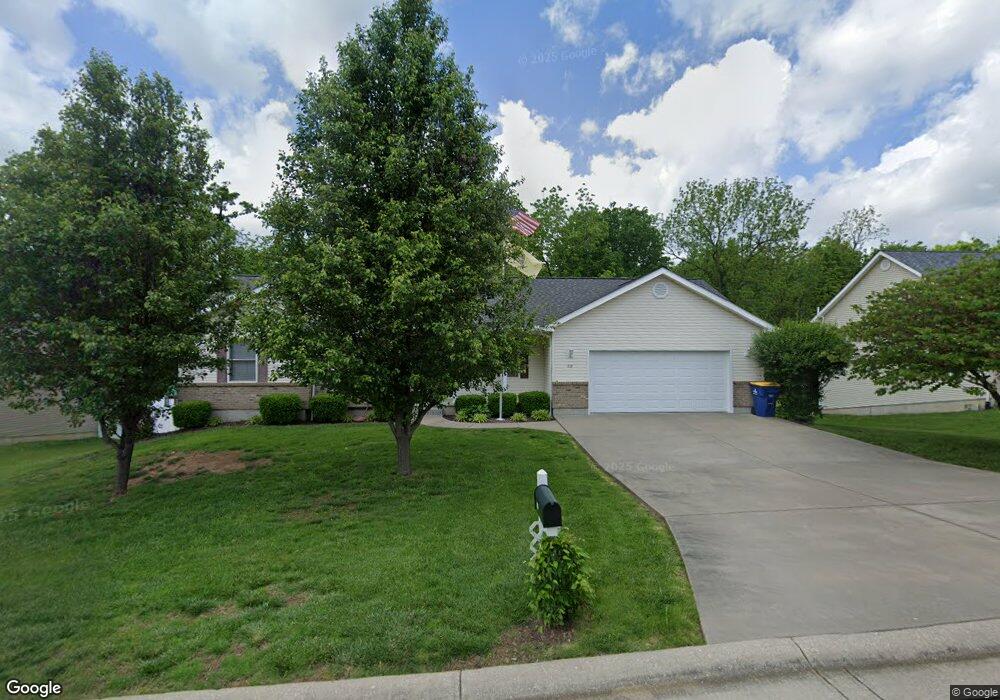
This home is located at 618 Lindsey Dr, Union, MO 63084 and is currently estimated at $259,674, approximately $179 per square foot. 618 Lindsey Dr is a home located in Franklin County with nearby schools including Union High School and Immaculate Conception School.
Ownership History
Date
Name
Owned For
Owner Type
Purchase Details
Closed on
May 23, 2025
Sold by
Hume Edward Clyde
Bought by
Hume Edward Clyde and Machelett Nicole Marie
Current Estimated Value
Purchase Details
Closed on
Oct 13, 2006
Sold by
Feth Timothy and Feth Denise
Bought by
Hume Edward C
Home Financials for this Owner
Home Financials are based on the most recent Mortgage that was taken out on this home.
Original Mortgage
$134,400
Interest Rate
6.44%
Mortgage Type
New Conventional
Create a Home Valuation Report for This Property
The Home Valuation Report is an in-depth analysis detailing your home's value as well as a comparison with similar homes in the area
Home Values in the Area
Average Home Value in this Area
Purchase History
| Date | Buyer | Sale Price | Title Company |
|---|---|---|---|
| Hume Edward Clyde | -- | None Listed On Document | |
| Hume Edward C | -- | None Available |
Source: Public Records
Mortgage History
| Date | Status | Borrower | Loan Amount |
|---|---|---|---|
| Previous Owner | Hume Edward C | $134,400 |
Source: Public Records
Tax History
| Year | Tax Paid | Tax Assessment Tax Assessment Total Assessment is a certain percentage of the fair market value that is determined by local assessors to be the total taxable value of land and additions on the property. | Land | Improvement |
|---|---|---|---|---|
| 2025 | $2,154 | $36,125 | $0 | $0 |
| 2024 | $2,154 | $33,265 | $0 | $0 |
| 2023 | $2,005 | $33,265 | $0 | $0 |
| 2022 | $2,171 | $35,942 | $0 | $0 |
| 2021 | $2,174 | $35,942 | $0 | $0 |
| 2020 | $1,999 | $32,509 | $0 | $0 |
| 2019 | $1,994 | $32,509 | $0 | $0 |
| 2018 | $1,736 | $29,699 | $0 | $0 |
| 2017 | $1,740 | $29,699 | $0 | $0 |
| 2016 | $1,649 | $27,514 | $0 | $0 |
| 2015 | $1,623 | $27,514 | $0 | $0 |
| 2014 | $1,638 | $27,742 | $0 | $0 |
Source: Public Records
Map
Nearby Homes
- 626 Lindsey Dr
- 26 & 30 Ridge Point Meadows
- 702 Clearview Dr Unit 1
- 154 Joel Ave
- 914 W State St
- 408 Hall Ave
- 3 Hoffert St
- 54 Hickory Cir
- 613 W State St
- 413 W State St
- 613 S Jefferson Ave
- 21 Forest Ln
- 0 Oak Grove School Rd
- 435 Water Tower Dr
- 1016 Westmoreland Blvd
- 207 E Park Ave
- 1008 N Washington Ave
- 614 E State St
- 105 E Roosevelt Ave
- 000 Shawneetown Ford Spur 4` Unit Lot
- 616 Lindsey Dr
- 616 Lindsey Dr
- 620 Lindsey Dr
- 860 Sarah Ln
- 864 Sarah Ln
- 858 Sarah Ln
- 617 Lindsey Dr
- 619 Lindsey Dr
- 622 Lindsey Dr
- 614 Lindsey Dr
- 868 Sarah Lane (Lot17)
- 615 Lindsey Dr
- 619 Lindsey Dr
- 613 Lindsey Dr
- 621 Lindsey Dr
- 870 Sarah Ln
- 870 Sarah (Lot 16) Ct
- 852 Sarah Ln
- 612 Lindsey Dr
- 624 Lindsey Dr
Your Personal Tour Guide
Ask me questions while you tour the home.