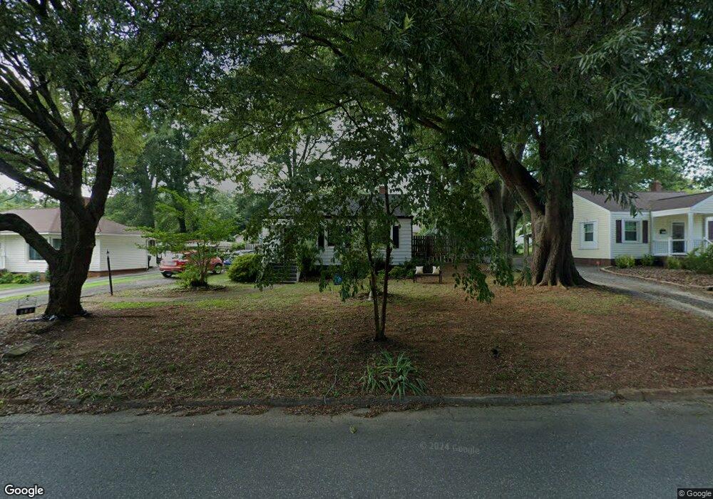
618 Meadowbrook Rd Kings Mountain, NC 28086
Estimated Value: $125,000 - $186,000
--
Bed
--
Bath
997
Sq Ft
$158/Sq Ft
Est. Value
About This Home
This home is located at 618 Meadowbrook Rd, Kings Mountain, NC 28086 and is currently estimated at $157,717, approximately $158 per square foot. 618 Meadowbrook Rd is a home located in Cleveland County with nearby schools including West Elementary School, Kings Mountain Middle, and Kings Mountain Intermediate School.
Ownership History
Date
Name
Owned For
Owner Type
Purchase Details
Closed on
Apr 23, 2019
Sold by
Beatty Brenda Scates and Morrison Walter Winston
Bought by
Beatty Brenda Scates and Morrison Walter Winston
Current Estimated Value
Purchase Details
Closed on
Feb 5, 2014
Sold by
Bank Of America N A
Bought by
Beatty Brenda S and Morrison Walter W
Purchase Details
Closed on
Jan 28, 2014
Sold by
Federal National Mortgage Association
Bought by
Bank Of America Na
Purchase Details
Closed on
Nov 13, 2013
Sold by
Walters Jan C
Bought by
Federal National Mortgage Association
Create a Home Valuation Report for This Property
The Home Valuation Report is an in-depth analysis detailing your home's value as well as a comparison with similar homes in the area
Home Values in the Area
Average Home Value in this Area
Purchase History
| Date | Buyer | Sale Price | Title Company |
|---|---|---|---|
| Beatty Brenda Scates | $500 | None Available | |
| Beatty Brenda S | $21,600 | None Available | |
| Bank Of America Na | -- | None Available | |
| Federal National Mortgage Association | $74,517 | None Available |
Source: Public Records
Tax History Compared to Growth
Tax History
| Year | Tax Paid | Tax Assessment Tax Assessment Total Assessment is a certain percentage of the fair market value that is determined by local assessors to be the total taxable value of land and additions on the property. | Land | Improvement |
|---|---|---|---|---|
| 2025 | $1,189 | $116,033 | $17,767 | $98,266 |
| 2024 | $833 | $69,245 | $15,066 | $54,179 |
| 2023 | $829 | $69,245 | $15,066 | $54,179 |
| 2022 | $795 | $69,245 | $15,066 | $54,179 |
| 2021 | $799 | $69,245 | $15,066 | $54,179 |
| 2020 | $695 | $58,557 | $15,066 | $43,491 |
| 2019 | $695 | $58,557 | $15,066 | $43,491 |
| 2018 | $694 | $58,557 | $15,066 | $43,491 |
| 2017 | $691 | $58,557 | $15,066 | $43,491 |
| 2016 | $692 | $58,557 | $15,066 | $43,491 |
| 2015 | $652 | $56,540 | $12,437 | $44,103 |
| 2014 | $652 | $56,540 | $12,437 | $44,103 |
Source: Public Records
Map
Nearby Homes
- 400 S Cansler St
- 411 S Battleground Ave
- 316 S Cansler St
- 811 W Gold St Unit 26
- 200 E Gold St
- 106 N Tracy St
- 112 Fulton Dr
- 440 Phifer Rd
- 442 Phifer Rd
- 300 N Watterson St
- 310 Campbell Cir
- 430 Fulton Dr
- 110 N Gaston St
- 208 Victoria Cir
- 710 York Rd
- 804 Lee St
- 311 E King St Unit 2
- 207 Morris St
- 5066 Beargrass Dr
- 1301 Shelby Rd
- 616 Meadowbrook Rd
- 620 Meadowbrook Rd
- 614 Meadowbrook Rd
- 622 Meadowbrook Rd
- 622 Meadowbrook Rd Unit 18
- 609 Crescent Cir
- 611 Crescent Cir
- 612 Meadowbrook Rd
- 621 Meadowbrook Rd
- 623 Meadowbrook Rd
- 619 Meadowbrook Rd
- 607 Crescent Cir
- 625 Meadowbrook Rd
- 617 Meadowbrook Rd
- 700 Meadowbrook Rd
- 610 Meadowbrook Rd
- 627 Meadowbrook Rd
- 701 Crescent Cir
- 615 Meadowbrook Rd
- 605 Crescent Cir