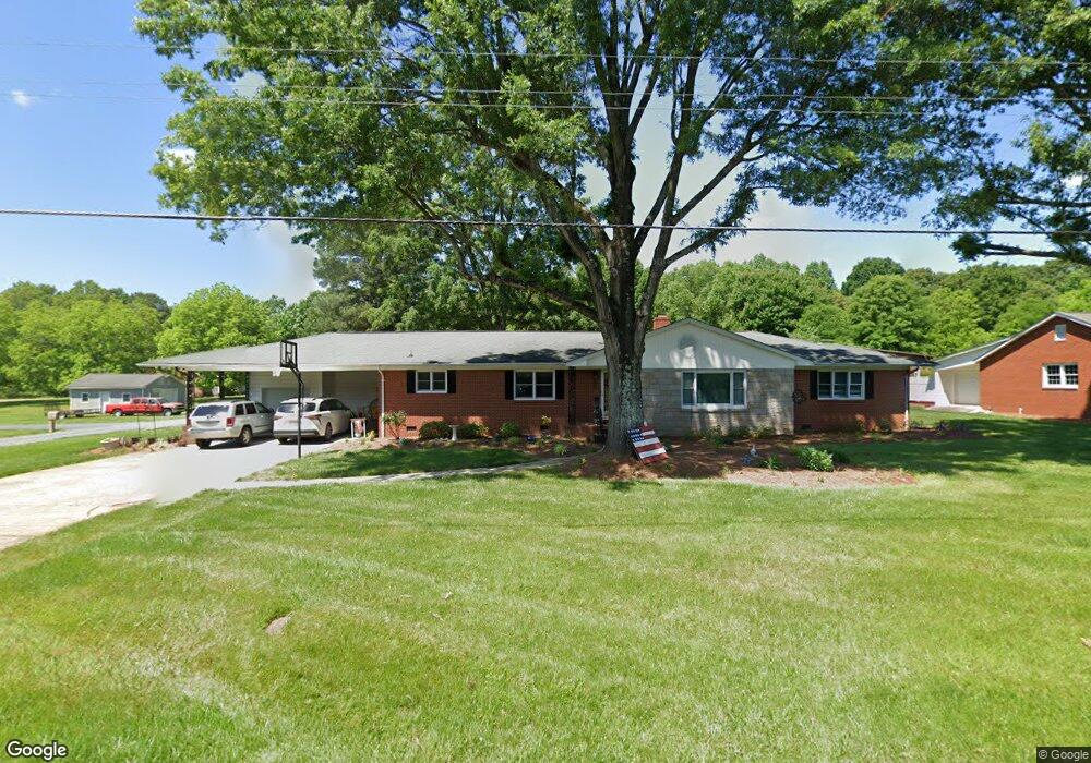
618 S Central Ave Locust, NC 28097
Estimated Value: $382,000 - $420,000
3
Beds
2
Baths
2,130
Sq Ft
$186/Sq Ft
Est. Value
About This Home
This home is located at 618 S Central Ave, Locust, NC 28097 and is currently estimated at $395,674, approximately $185 per square foot. 618 S Central Ave is a home located in Stanly County with nearby schools including Stanfield Elementary School, West Stanly Middle School, and West Stanly High School.
Ownership History
Date
Name
Owned For
Owner Type
Purchase Details
Closed on
Feb 15, 2005
Sold by
Little Jerry L and Little Christa S
Bought by
Whitley Ginger L
Current Estimated Value
Home Financials for this Owner
Home Financials are based on the most recent Mortgage that was taken out on this home.
Original Mortgage
$22,500
Outstanding Balance
$11,414
Interest Rate
5.72%
Mortgage Type
Purchase Money Mortgage
Estimated Equity
$384,260
Create a Home Valuation Report for This Property
The Home Valuation Report is an in-depth analysis detailing your home's value as well as a comparison with similar homes in the area
Purchase History
| Date | Buyer | Sale Price | Title Company |
|---|---|---|---|
| Whitley Ginger L | $150,000 | None Available | |
| Whitley Ginger L | $150,000 | None Available |
Source: Public Records
Mortgage History
| Date | Status | Borrower | Loan Amount |
|---|---|---|---|
| Open | Whitley Ginger L | $22,500 | |
| Open | Whitley Ginger L | $120,000 | |
| Closed | Whitley Ginger L | $22,500 |
Source: Public Records
Tax History
| Year | Tax Paid | Tax Assessment Tax Assessment Total Assessment is a certain percentage of the fair market value that is determined by local assessors to be the total taxable value of land and additions on the property. | Land | Improvement |
|---|---|---|---|---|
| 2025 | $2,602 | $282,846 | $42,966 | $239,880 |
| 2024 | $806 | $186,258 | $25,389 | $160,869 |
| 2023 | $859 | $186,258 | $25,389 | $160,869 |
| 2022 | $2,132 | $186,258 | $25,389 | $160,869 |
| 2021 | $2,113 | $186,258 | $25,389 | $160,869 |
| 2020 | $1,624 | $134,521 | $22,264 | $112,257 |
| 2019 | $1,640 | $134,521 | $22,264 | $112,257 |
| 2018 | $786 | $134,521 | $22,264 | $112,257 |
| 2017 | $1,520 | $134,521 | $22,264 | $112,257 |
| 2016 | $1,501 | $132,791 | $20,702 | $112,089 |
| 2015 | $1,616 | $132,791 | $20,702 | $112,089 |
| 2014 | $1,604 | $132,791 | $20,702 | $112,089 |
Source: Public Records
Map
Nearby Homes
- 708 Redah Ave
- 27 Berea Baptist Church Rd
- 240 Ella Dr
- 103 Berea Baptist Church Rd
- 105 Berea Baptist Church Rd
- 700 Elm St
- 402 Church St
- 169 Abigail Ln
- 135 Water Oak Ln
- 174 Willow Creek Dr
- 142 Flame Azalea Ct
- 288 Harrison Ln
- 417 Kiser Ln
- 617 Ardsley Dr
- 219 Kerri Dawn Ln
- 201 Oak St
- 106 Marlwood Dr
- 201 N Beverly Dr
- 556 Big Lick Rd
- 4036-B N Carolina 200
- 612 S Central Ave
- 100 Carmel Dr
- 608 S Central Ave
- 101 Carmel Dr
- 436 Nc 200 Hwy
- 602 S Central Ave
- 530 Nc Hwy 200
- 517 S Central Ave
- 514 S Central Ave
- 431 Nc Hwy 200 N
- 513 S Central Ave
- 513 S Central Ave Unit 7
- 510 S Central Ave
- 507 S Central Ave
- 131 Abbington Place Unit 19
- 131 Abbington Place Unit 4
- 123 Abbington Place Unit 20
- 141 Abbington Place Unit 18
- 324 Springview Dr
- 149 Abbington Place Unit 17
Your Personal Tour Guide
Ask me questions while you tour the home.