618 Stringer Rd Rockmart, GA 30153
Estimated Value: $151,716 - $245,000
3
Beds
1
Bath
1,426
Sq Ft
$138/Sq Ft
Est. Value
About This Home
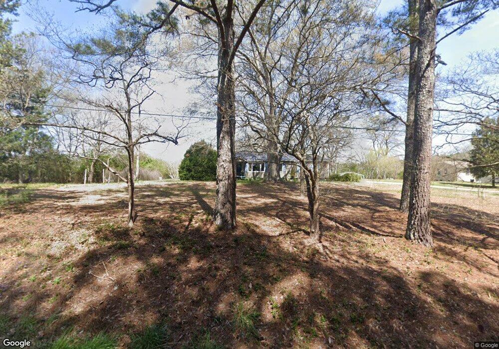
This home is located at 618 Stringer Rd, Rockmart, GA 30153 and is currently estimated at $196,679, approximately $137 per square foot. 618 Stringer Rd is a home located in Polk County with nearby schools including Rockmart Middle School.
Ownership History
Date
Name
Owned For
Owner Type
Purchase Details
Closed on
Apr 6, 1990
Sold by
Collins H David
Bought by
Streetman Ray
Current Estimated Value
Purchase Details
Closed on
Dec 30, 1986
Sold by
Coalson Tony R
Bought by
Collins H David
Purchase Details
Closed on
Apr 1, 1984
Sold by
Jackson Carol W
Bought by
Coalson Tony R
Purchase Details
Closed on
May 22, 1981
Bought by
Jackson Carol W
Purchase Details
Closed on
Mar 29, 1979
Sold by
Jackson David
Bought by
Jackson Carol W
Purchase Details
Closed on
Dec 18, 1971
Bought by
Jackson David
Create a Home Valuation Report for This Property
The Home Valuation Report is an in-depth analysis detailing your home's value as well as a comparison with similar homes in the area
Home Values in the Area
Average Home Value in this Area
Purchase History
| Date | Buyer | Sale Price | Title Company |
|---|---|---|---|
| Streetman Ray | $41,400 | -- | |
| Collins H David | -- | -- | |
| Coalson Tony R | -- | -- | |
| Jackson Carol W | -- | -- | |
| Jackson Carol W | -- | -- | |
| Jackson David | -- | -- |
Source: Public Records
Tax History
| Year | Tax Paid | Tax Assessment Tax Assessment Total Assessment is a certain percentage of the fair market value that is determined by local assessors to be the total taxable value of land and additions on the property. | Land | Improvement |
|---|---|---|---|---|
| 2025 | $682 | $33,805 | $5,961 | $27,844 |
| 2024 | $634 | $32,315 | $4,471 | $27,844 |
| 2023 | $494 | $22,815 | $4,471 | $18,344 |
| 2022 | $402 | $18,957 | $2,980 | $15,977 |
| 2021 | $408 | $18,957 | $2,980 | $15,977 |
| 2020 | $409 | $18,957 | $2,980 | $15,977 |
| 2019 | $295 | $12,986 | $2,980 | $10,006 |
| 2018 | $284 | $12,306 | $2,980 | $9,326 |
| 2017 | $280 | $12,306 | $2,980 | $9,326 |
| 2016 | $259 | $11,533 | $2,208 | $9,326 |
| 2015 | $263 | $11,643 | $2,208 | $9,436 |
| 2014 | $265 | $11,643 | $2,208 | $9,436 |
Source: Public Records
Map
Nearby Homes
- 93 Clay Rd
- 397 Stringer Rd
- 461 Lakeview Rd
- 907 Stringer Rd
- 184 Morgan Ln
- 65 Wheeler Rd
- 18 Hillside Dr
- 957 Bethlehem Rd
- 865 Morgan Valley Rd
- 1714 Cedartown Hwy
- 60 Lee St
- 2512 Tolbert Town Rd
- 0 Tolbert Town Rd Unit 10640593
- 0 Tolbert Town Rd Unit 7678739
- 0 Bethlehem Rd Unit 7730467
- 0 Bethlehem Rd Unit 10705308
- 11 Lee St
- 479 Morgan Valley Rd
- 92 Autumn Path
- 0 Pine Mountain St Unit 10620510
Your Personal Tour Guide
Ask me questions while you tour the home.