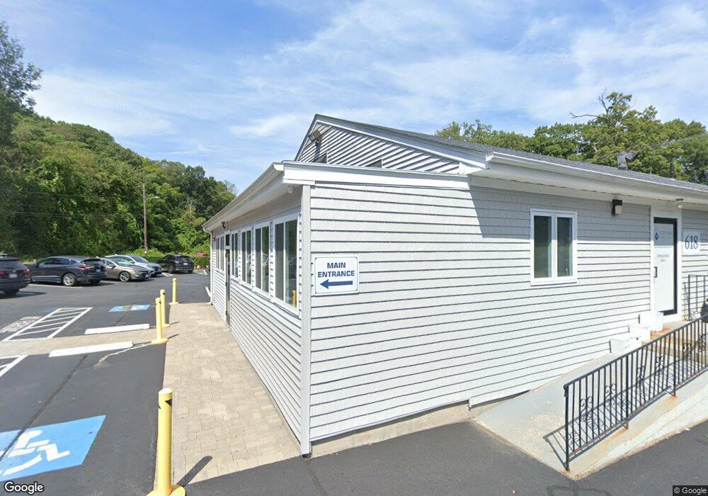
618 Toll Gate Rd Warwick, RI 02886
Bald Hill NeighborhoodEstimated Value: $745,006
--
Bed
--
Bath
2,588
Sq Ft
$288/Sq Ft
Est. Value
About This Home
This home is located at 618 Toll Gate Rd, Warwick, RI 02886 and is currently estimated at $745,006, approximately $287 per square foot. 618 Toll Gate Rd is a home located in Kent County with nearby schools including Islamic School of Rhode Island and St Joseph School.
Ownership History
Date
Name
Owned For
Owner Type
Purchase Details
Closed on
Aug 1, 2017
Sold by
618-628 Tollgate Rd Rl
Bought by
Endeavor Hldg Llc
Current Estimated Value
Purchase Details
Closed on
Jul 31, 1996
Sold by
Kalams Zannis
Bought by
Tollgate Road Rlty Llc
Home Financials for this Owner
Home Financials are based on the most recent Mortgage that was taken out on this home.
Original Mortgage
$148,388
Interest Rate
8.27%
Mortgage Type
Commercial
Create a Home Valuation Report for This Property
The Home Valuation Report is an in-depth analysis detailing your home's value as well as a comparison with similar homes in the area
Home Values in the Area
Average Home Value in this Area
Purchase History
| Date | Buyer | Sale Price | Title Company |
|---|---|---|---|
| Endeavor Hldg Llc | $405,000 | -- | |
| Tollgate Road Rlty Llc | $275,000 | -- |
Source: Public Records
Mortgage History
| Date | Status | Borrower | Loan Amount |
|---|---|---|---|
| Previous Owner | Tollgate Road Rlty Llc | $148,388 |
Source: Public Records
Tax History Compared to Growth
Tax History
| Year | Tax Paid | Tax Assessment Tax Assessment Total Assessment is a certain percentage of the fair market value that is determined by local assessors to be the total taxable value of land and additions on the property. | Land | Improvement |
|---|---|---|---|---|
| 2025 | $11,736 | $489,200 | $173,700 | $315,500 |
| 2024 | $11,883 | $469,300 | $151,000 | $318,300 |
| 2023 | $11,653 | $469,300 | $151,000 | $318,300 |
| 2022 | $11,330 | $403,200 | $128,400 | $274,800 |
| 2021 | $11,330 | $403,200 | $128,400 | $274,800 |
| 2020 | $11,330 | $403,200 | $128,400 | $274,800 |
| 2019 | $11,330 | $403,200 | $128,400 | $274,800 |
| 2018 | $12,941 | $414,900 | $151,000 | $263,900 |
| 2017 | $12,596 | $414,900 | $151,000 | $263,900 |
| 2016 | $12,596 | $414,900 | $151,000 | $263,900 |
| 2015 | $13,084 | $420,300 | $154,500 | $265,800 |
| 2014 | $12,647 | $420,300 | $154,500 | $265,800 |
| 2013 | $12,475 | $420,300 | $154,500 | $265,800 |
Source: Public Records
Map
Nearby Homes
- 403 Commonwealth Ave
- 25 Forbes St
- 237 Commonwealth Ave
- 11 College Hill Rd Unit 5B
- 11 College Hill Rd Unit 4A
- 56 Cindy Ln
- 1008 Toll Gate Rd
- 139 Lancaster Ave
- 2 Jambray Ave
- 8 Carr's Ln
- 9 Carr's Ln
- 7 Carr's Ln
- 5 Carr's Ln
- 7 Rutherford Ct Unit 12
- 81 W Valley Cir
- 0 Centerville Rd
- 1 Penta St
- 81 W Pontiac St
- 744 Providence St
- 61 Lafayette St
- 626 Toll Gate Rd
- 600 Toll Gate Rd
- 11 Hilary St
- 19 Hilary St
- 22 Hilary St
- 1100 Toll Gate Rd
- 404 Toll Gate Rd
- 78 Forbes St
- 512 Commonwealth Ave
- 400 Commonwealth Ave Unit 9
- 400 Commonwealth Ave Unit 3
- 400 Commonwealth Ave Unit 12
- 400 Commonwealth Ave Unit 11
- 400 Commonwealth Ave Unit 5
- 400 Commonwealth Ave Unit 6
- 400 Commonwealth Ave Unit 1
- 400 Commonwealth Ave Unit 7
- 400 Commonwealth Ave Unit 2
- 400 Commonwealth Ave Unit 4
- 400 Commonwealth Ave Unit 10