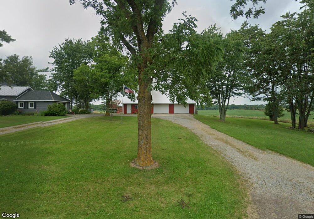
6180 Sampson Rd Camden, MI 49232
Estimated Value: $348,000 - $553,000
--
Bed
--
Bath
1,104
Sq Ft
$417/Sq Ft
Est. Value
About This Home
This home is located at 6180 Sampson Rd, Camden, MI 49232 and is currently estimated at $460,259, approximately $416 per square foot. 6180 Sampson Rd is a home with nearby schools including Camden-Frontier K-8 School and Camden-Frontier High School.
Ownership History
Date
Name
Owned For
Owner Type
Purchase Details
Closed on
Feb 3, 2016
Sold by
Hukill Carol A and Hukill Robert D
Bought by
Hukill Carol A and Hukill Jamie B
Current Estimated Value
Purchase Details
Closed on
Apr 10, 1985
Bought by
Hukill Robert D and Hukill Carol A
Purchase Details
Closed on
Oct 2, 1984
Sold by
Vincent Gordon R and Vincent Bernadine C
Bought by
United States Of America
Purchase Details
Closed on
Jun 25, 1973
Sold by
Gowthrop Mildred
Bought by
Vincent Gordon R and Vincent Bernadine C
Create a Home Valuation Report for This Property
The Home Valuation Report is an in-depth analysis detailing your home's value as well as a comparison with similar homes in the area
Home Values in the Area
Average Home Value in this Area
Purchase History
| Date | Buyer | Sale Price | Title Company |
|---|---|---|---|
| Hukill Carol A | -- | Attorney | |
| Hukill Robert D | $60,000 | -- | |
| United States Of America | -- | -- | |
| Vincent Gordon R | $24,000 | -- |
Source: Public Records
Tax History Compared to Growth
Tax History
| Year | Tax Paid | Tax Assessment Tax Assessment Total Assessment is a certain percentage of the fair market value that is determined by local assessors to be the total taxable value of land and additions on the property. | Land | Improvement |
|---|---|---|---|---|
| 2025 | -- | $294,200 | $0 | $0 |
| 2024 | $1,075 | $263,800 | $0 | $0 |
| 2023 | $1,024 | $208,300 | $0 | $0 |
| 2022 | $2,156 | $182,500 | $0 | $0 |
| 2021 | $2,089 | $182,800 | $0 | $0 |
| 2020 | $2,120 | $185,200 | $0 | $0 |
| 2019 | $2,042 | $179,100 | $0 | $0 |
| 2018 | $1,945 | $172,800 | $0 | $0 |
| 2017 | $1,888 | $171,650 | $0 | $0 |
| 2016 | $1,867 | $162,910 | $0 | $0 |
| 2015 | $863 | $162,910 | $0 | $0 |
| 2013 | $836 | $133,730 | $0 | $0 |
| 2012 | $816 | $129,140 | $0 | $0 |
Source: Public Records
Map
Nearby Homes
- 0 W Territorial Rd Unit 25043960
- 0 W Territorial Rd Unit 11603977
- 107 Mary St
- 18405 County Road 2-50
- 14934 Heather Ct
- 9677 W Camden Rd
- 6524 W Montgomery Rd
- 14364 Horn Dr
- 623-624 Yuma Trail
- 13551 Hillsdale Rd
- 0 Dimmers Rd
- 115 N Michigan St
- 219 N Hayward St
- 600 Seneca Dr
- 988-989 Seneca Dr
- 207 Modoc Trail
- 638 Seneca Dr
- 213 Navajo Trail
- 00 County Road 150
- 0 Pontiac Trail Unit 10001711
- 6211 Sampson Rd
- 6051 Sampson Rd
- 6360 Sampson Rd
- 6011 Sampson Rd
- 5900 Sampson Rd
- 5711 Sampson Rd
- 5660 Sampson Rd
- 6740 Sampson Rd
- 6911 Sampson Rd
- 14151 Rice Rd
- 6911 Sampson Rd
- 6000 Sampson Rd
- 0 Sampson Rd
- 6960 Sampson Rd
- 14600 Rice
- 14500 Rice Rd
- 5280 Sampson Rd
- 6315 Austin Rd
- 5251 Sampson Rd
- 6111 Austin Rd