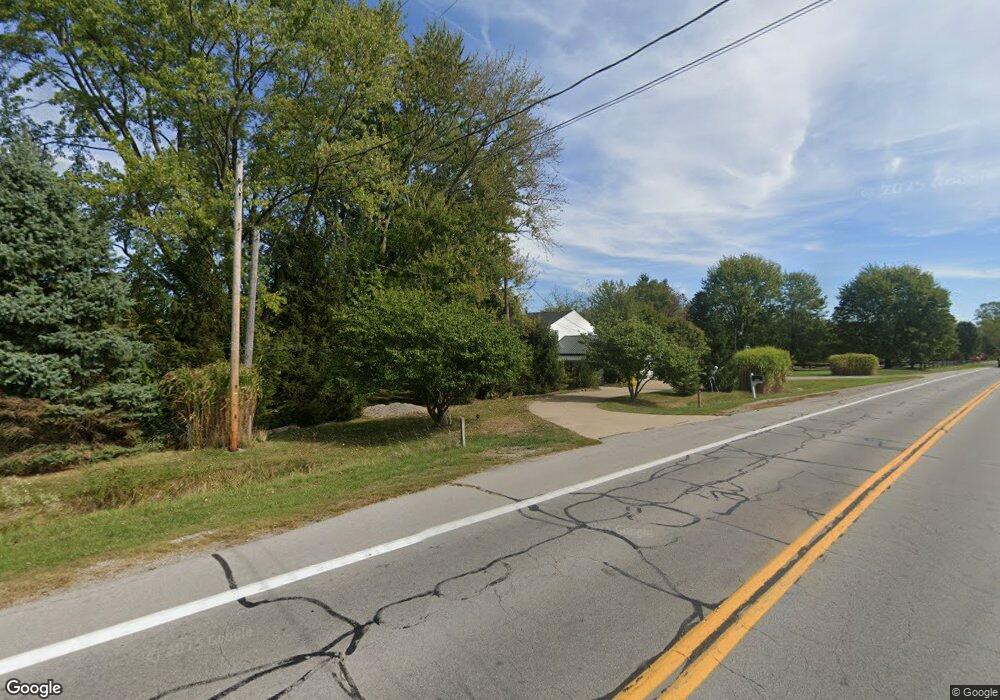
6180 State Route 18 E New London, OH 44851
Estimated Value: $279,860 - $382,000
3
Beds
3
Baths
2,880
Sq Ft
$115/Sq Ft
Est. Value
About This Home
This home is located at 6180 State Route 18 E, New London, OH 44851 and is currently estimated at $329,965, approximately $114 per square foot. 6180 State Route 18 E is a home located in Huron County with nearby schools including Westwood Elementary School, McCormick Middle School, and Wellington High School.
Ownership History
Date
Name
Owned For
Owner Type
Purchase Details
Closed on
Oct 12, 1994
Sold by
Ash Oden D
Bought by
Burch Daniel R and Burch Deborah
Current Estimated Value
Home Financials for this Owner
Home Financials are based on the most recent Mortgage that was taken out on this home.
Original Mortgage
$68,800
Interest Rate
8.55%
Mortgage Type
New Conventional
Create a Home Valuation Report for This Property
The Home Valuation Report is an in-depth analysis detailing your home's value as well as a comparison with similar homes in the area
Home Values in the Area
Average Home Value in this Area
Purchase History
| Date | Buyer | Sale Price | Title Company |
|---|---|---|---|
| Burch Daniel R | $86,000 | -- | |
| Burch Daniel R | $86,000 | -- |
Source: Public Records
Mortgage History
| Date | Status | Borrower | Loan Amount |
|---|---|---|---|
| Closed | Burch Daniel R | $68,800 |
Source: Public Records
Tax History Compared to Growth
Tax History
| Year | Tax Paid | Tax Assessment Tax Assessment Total Assessment is a certain percentage of the fair market value that is determined by local assessors to be the total taxable value of land and additions on the property. | Land | Improvement |
|---|---|---|---|---|
| 2024 | $2,751 | $79,720 | $3,930 | $75,790 |
| 2023 | $2,751 | $59,360 | $2,980 | $56,380 |
| 2022 | $2,135 | $59,360 | $2,980 | $56,380 |
| 2021 | $2,140 | $59,360 | $2,980 | $56,380 |
| 2020 | $2,087 | $55,590 | $2,360 | $53,230 |
| 2019 | $2,081 | $55,590 | $2,360 | $53,230 |
| 2018 | $2,053 | $55,590 | $2,360 | $53,230 |
| 2017 | $2,180 | $56,970 | $2,250 | $54,720 |
| 2016 | $2,145 | $56,970 | $2,250 | $54,720 |
| 2015 | $2,153 | $56,990 | $2,260 | $54,730 |
| 2014 | $1,948 | $49,810 | $2,240 | $47,570 |
| 2013 | $1,909 | $48,970 | $2,240 | $46,730 |
Source: Public Records
Map
Nearby Homes
- 1201 Monroe Rd
- 1491 Vesta Rd
- 20011 Gore Orphanage Rd
- 52273 Betts Rd
- 52025 Betts Rd
- 1910 Wenz Rd
- 1501 Fitchville River Rd
- 5951 Ohio 303
- V/L State Route 18
- 1195 Fitchville River Rd
- 18315 Gifford Rd
- 34 Cherdon Cir
- V/L Bursley Rd
- 52819 Bursley Rd
- 20765 Quarry Rd
- 5810 U S 20 Unit 47
- 5810 U S 20 Unit 3
- 5810 U S 20 Unit 72
- 5810 U S 20 Unit 98
- 5810 U S 20 Unit 111
- 6212 Ohio 18
- 6212 State Route 18 E
- 6141 State Route 18 E
- 6276 State Route 18 E
- 1732 Chenango Rd
- 5996 State Route 18
- 1734 Chenango Rd
- 1668 Chenango Rd
- 1650 Chenango Rd
- 6309 State Route 18 E
- 1715 Chenango Rd
- 1695 Chenango Rd
- 1713 Chenango Rd
- 1665 Chenango Rd
- 2490 Chenango Rd
- 0 Chenango Rd Unit 4458882
- 0 Chenango Rd
- 6364 State Route 18 E
- 5980 Ohio 18
- 1604 Chenango Rd
