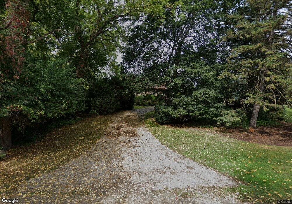
6180 Wing Lake Rd Bloomfield Hills, MI 48301
Estimated Value: $2,160,000 - $6,402,530
4
Beds
7
Baths
8,221
Sq Ft
$521/Sq Ft
Est. Value
About This Home
This home is located at 6180 Wing Lake Rd, Bloomfield Hills, MI 48301 and is currently estimated at $4,281,265, approximately $520 per square foot. 6180 Wing Lake Rd is a home located in Oakland County with nearby schools including Conant Elementary School, South Hills Middle School, and Bloomfield Hills High School.
Ownership History
Date
Name
Owned For
Owner Type
Purchase Details
Closed on
Dec 20, 2024
Sold by
Teste Gilles and Teste Laura
Bought by
Teste Gilles and Teste Laura
Current Estimated Value
Purchase Details
Closed on
Oct 24, 2013
Sold by
Nelson Linden and Nelson Michelle W
Bought by
Teste Gilles and Teste Laura
Create a Home Valuation Report for This Property
The Home Valuation Report is an in-depth analysis detailing your home's value as well as a comparison with similar homes in the area
Home Values in the Area
Average Home Value in this Area
Purchase History
| Date | Buyer | Sale Price | Title Company |
|---|---|---|---|
| Teste Gilles | -- | None Listed On Document | |
| Teste Gilles | -- | None Listed On Document | |
| Teste Gilles | $1,100,000 | First American Title Ins Co |
Source: Public Records
Tax History Compared to Growth
Tax History
| Year | Tax Paid | Tax Assessment Tax Assessment Total Assessment is a certain percentage of the fair market value that is determined by local assessors to be the total taxable value of land and additions on the property. | Land | Improvement |
|---|---|---|---|---|
| 2024 | $39,561 | $2,894,790 | $0 | $0 |
| 2023 | $38,284 | $2,589,860 | $0 | $0 |
| 2022 | $71,945 | $2,188,780 | $0 | $0 |
| 2021 | $71,428 | $2,069,110 | $0 | $0 |
| 2020 | $35,014 | $2,153,380 | $0 | $0 |
| 2019 | $67,208 | $1,971,470 | $0 | $0 |
| 2018 | $67,515 | $1,888,730 | $0 | $0 |
| 2017 | $66,960 | $1,808,670 | $0 | $0 |
| 2016 | $31,643 | $802,920 | $0 | $0 |
| 2015 | -- | $408,720 | $0 | $0 |
| 2014 | -- | $255,330 | $0 | $0 |
| 2011 | -- | $226,520 | $0 | $0 |
Source: Public Records
Map
Nearby Homes
- 750 Trailwood Path Unit B
- 450 Billingsgate Ct Unit C
- 1760 Trailwood Path
- 4456 W Maple Rd
- 6572 Spruce Dr
- 6701 Franklin Rd
- 6750 Wing Lake Rd
- 6660 Woodbank Dr
- 6041 Eastmoor Rd
- 5630 S Adams Way
- 6940 Wing Lake Rd
- 4603 Hedgewood Dr
- 4597 Broughton Dr
- 6360 Hills Dr
- 5361 Echo Rd
- 5897 Sutters Ln
- 6720 Castle Dr
- 4665 W Maple Rd
- 6952 Sandalwood Dr
- 7005 Cathedral Dr
- 6130 Wing Lake Rd
- 6116 Wing Lake Rd
- 6191 Wing Lake Rd
- 6135 Wing Lake Rd
- 6201 Wing Lake Rd
- 6100 Wing Lake Rd
- 6115 Wing Lake Rd
- 6155 Thurber Rd
- 6290 Wing Lake Rd
- 6188 Thurber Rd
- 6186 Worlington Rd
- 6175 Thurber Rd
- 6200 Thurber Rd
- 6301 Sheringham Rd
- 6216 Worlington Rd
- 6072 Wing Lake Rd
- 6085 Wing Lake Rd
- 6185 Thurber Rd
- 6138 Worlington Rd
- 6311 Wing Lake Rd