6182 W State Farm Rd North Platte, NE 69101
Estimated Value: $509,000 - $2,175,164
3
Beds
3
Baths
2,458
Sq Ft
$546/Sq Ft
Est. Value
About This Home
This home is located at 6182 W State Farm Rd, North Platte, NE 69101 and is currently estimated at $1,342,082, approximately $546 per square foot. 6182 W State Farm Rd is a home located in Lincoln County with nearby schools including North Platte High School.
Ownership History
Date
Name
Owned For
Owner Type
Purchase Details
Closed on
Jun 19, 2009
Sold by
Mccance Jeanette A and Mccance Jeannette S
Bought by
Mcwha Todd R and Mcwha Laura
Current Estimated Value
Home Financials for this Owner
Home Financials are based on the most recent Mortgage that was taken out on this home.
Original Mortgage
$70,125
Outstanding Balance
$44,449
Interest Rate
4.83%
Mortgage Type
Future Advance Clause Open End Mortgage
Estimated Equity
$1,297,633
Create a Home Valuation Report for This Property
The Home Valuation Report is an in-depth analysis detailing your home's value as well as a comparison with similar homes in the area
Home Values in the Area
Average Home Value in this Area
Purchase History
| Date | Buyer | Sale Price | Title Company |
|---|---|---|---|
| Mcwha Todd R | $136,000 | None Available |
Source: Public Records
Mortgage History
| Date | Status | Borrower | Loan Amount |
|---|---|---|---|
| Open | Mcwha Todd R | $70,125 |
Source: Public Records
Tax History Compared to Growth
Tax History
| Year | Tax Paid | Tax Assessment Tax Assessment Total Assessment is a certain percentage of the fair market value that is determined by local assessors to be the total taxable value of land and additions on the property. | Land | Improvement |
|---|---|---|---|---|
| 2024 | $17,765 | $1,936,045 | $1,297,364 | $638,681 |
| 2023 | $24,424 | $1,796,485 | $1,218,912 | $577,573 |
| 2022 | $23,387 | $1,632,490 | $1,151,619 | $480,871 |
| 2021 | $24,498 | $1,696,672 | $1,215,801 | $480,871 |
| 2020 | $25,356 | $1,722,391 | $1,215,821 | $506,570 |
| 2019 | $27,119 | $1,837,098 | $1,330,528 | $506,570 |
| 2018 | $27,371 | $1,837,100 | $1,330,530 | $506,570 |
| 2017 | $27,523 | $1,837,100 | $1,330,530 | $506,570 |
| 2016 | $28,304 | $1,839,880 | $1,332,270 | $507,610 |
| 2014 | $17,820 | $1,232,530 | $832,635 | $399,895 |
Source: Public Records
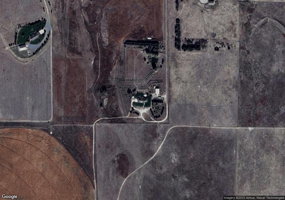
Map
Nearby Homes
- 5005 Frazier Ln
- 5204 Frazier Ln
- 5115 Frazier Ln
- 5217 Frazier Ln
- 5406 Frazier Ln
- 5317 Frazier Ln
- 5102 Frazier Ln
- 5308 Frazier Ln
- 4901 Frazier Ln
- 5608 Frazier Ln
- 5502 Frazier Ln
- 5002 Frazier Ln
- 5320 Frazier Ln
- 5405 Frazier Ln
- 4902 Frazier Ln
- 5503 Frazier Ln
- 4910 Osborne Ln
- 4820 Osborne Ln
- N Platte Unit NE 69101
- 0 State Farm Road Long Acreage E
- 6498 W State Farm Rd
- 5984 W State Farm Rd
- 6229 W State Farm Rd
- 6355 W State Farm Rd
- 5773 W State Farm Rd
- 6441 W State Farm Rd
- 5663 W State Farm Rd
- 5663 W State Farm Rd
- 120 N Main St
- 4732 S Homestead Rd
- S S Homestead Rd
- 0 S Homestead Rd
- 4492 S Homestead Rd
- 4486 S Homestead Rd
- 6381 W State Farm Rd
- 5322 W State Farm Rd
- 7044 W State Farm Rd
- 6399 W State Farm Rd
- 4258 S Homestead Rd
- 4980 W State Farm Rd