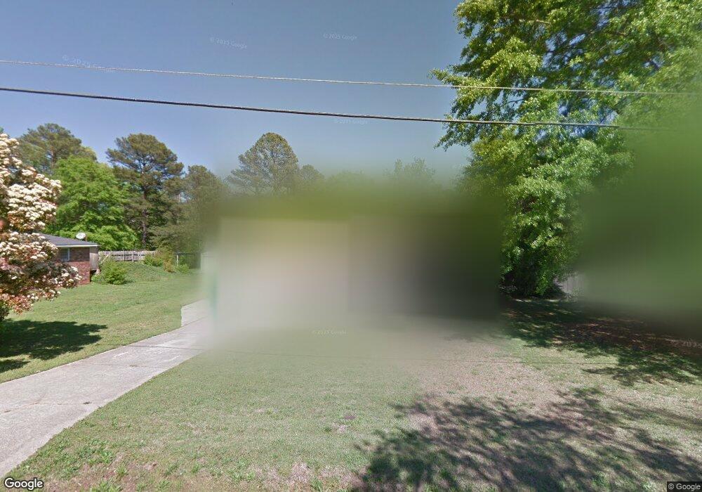
6185 Britt Rd SW Mableton, GA 30126
Estimated Value: $231,000 - $255,876
3
Beds
2
Baths
1,196
Sq Ft
$204/Sq Ft
Est. Value
About This Home
This home is located at 6185 Britt Rd SW, Mableton, GA 30126 and is currently estimated at $244,469, approximately $204 per square foot. 6185 Britt Rd SW is a home located in Cobb County with nearby schools including Clay-Harmony Leland Elementary School, Lindley Middle School, and Pebblebrook High School.
Ownership History
Date
Name
Owned For
Owner Type
Purchase Details
Closed on
Aug 6, 2010
Sold by
Gundel James T
Bought by
Mincey Latoya J
Current Estimated Value
Home Financials for this Owner
Home Financials are based on the most recent Mortgage that was taken out on this home.
Original Mortgage
$78,452
Interest Rate
5.12%
Mortgage Type
FHA
Purchase Details
Closed on
Aug 21, 2009
Sold by
Gundel James T
Bought by
Gundel James T and Meador Jill
Purchase Details
Closed on
Aug 3, 2009
Sold by
Fannie Mae
Bought by
Gundel James T
Purchase Details
Closed on
Nov 4, 2008
Sold by
Gmac Mtg Llc
Bought by
Federal National Mortgage Association
Purchase Details
Closed on
Feb 28, 2000
Sold by
Land Kenneth D and Land Shelia
Bought by
Snipes Keith R
Home Financials for this Owner
Home Financials are based on the most recent Mortgage that was taken out on this home.
Original Mortgage
$78,850
Interest Rate
8.37%
Mortgage Type
New Conventional
Create a Home Valuation Report for This Property
The Home Valuation Report is an in-depth analysis detailing your home's value as well as a comparison with similar homes in the area
Home Values in the Area
Average Home Value in this Area
Purchase History
| Date | Buyer | Sale Price | Title Company |
|---|---|---|---|
| Mincey Latoya J | $79,900 | -- | |
| Gundel James T | -- | -- | |
| Gundel James T | -- | -- | |
| Federal National Mortgage Association | -- | -- | |
| Gmac Mtg Llc | $63,518 | -- | |
| Snipes Keith R | $81,400 | -- |
Source: Public Records
Mortgage History
| Date | Status | Borrower | Loan Amount |
|---|---|---|---|
| Previous Owner | Mincey Latoya J | $78,452 | |
| Previous Owner | Snipes Keith R | $78,850 |
Source: Public Records
Tax History Compared to Growth
Tax History
| Year | Tax Paid | Tax Assessment Tax Assessment Total Assessment is a certain percentage of the fair market value that is determined by local assessors to be the total taxable value of land and additions on the property. | Land | Improvement |
|---|---|---|---|---|
| 2025 | $2,037 | $92,808 | $18,000 | $74,808 |
| 2024 | $2,038 | $92,808 | $18,000 | $74,808 |
| 2023 | $1,496 | $92,808 | $18,000 | $74,808 |
| 2022 | $1,768 | $79,716 | $12,000 | $67,716 |
| 2021 | $1,285 | $57,652 | $12,000 | $45,652 |
| 2020 | $1,285 | $57,652 | $12,000 | $45,652 |
| 2019 | $964 | $42,980 | $10,000 | $32,980 |
| 2018 | $741 | $33,428 | $6,000 | $27,428 |
| 2017 | $704 | $33,428 | $6,000 | $27,428 |
| 2016 | $705 | $33,428 | $6,000 | $27,428 |
| 2015 | $353 | $20,824 | $6,000 | $14,824 |
| 2014 | $409 | $22,596 | $0 | $0 |
Source: Public Records
Map
Nearby Homes
- 6266 Britt Rd SW
- 6281 Denny Ln SW
- 846 Orris Ln SW
- 767 Kenneth Ln SW
- Harbor Plan at Mableton Station
- Robie Plan at Mableton Station
- Aisle Plan at Mableton Station
- Elston Plan at Mableton Station
- 5981 Pisgah Rd SW
- 6302 Mount Pisgah Ln
- 6243 Honeybell Aly
- 537 Elizabeth Ln SW
- KNOLLWOOD Plan at Mableton Station - Townhomes
- 496 Elizabeth Ln SW
- 1144 Angelia Dr SW
- 1076 Stoney Creek Ln
- 377 Waterbluff Dr SW
- 373 Waterbluff Dr SW
- 368 Waterbluff Dr SW
- 369 Waterbluff Dr SW
- 6207 Britt Rd SW
- 6179 Britt Rd SW
- 6200 Denny Ln SW
- 6215 Britt Rd SW
- 6175 Britt Rd SW
- 6190 Denny Ln SW
- 6204 Britt Rd SW
- 6214 Denny Ln SW
- 6208 Britt Rd SW
- 6178 Denny Ln SW
- 6118 Denny Ln SW
- 6227 Britt Rd SW
- 0000 Britt Rd SW
- 0 Britt Rd SW
- 6224 Denny Ln SW
- 6180 Britt Rd SW
- 6264 Britt Rd SW
- 6192 Britt Rd SW
- 6163 Britt Rd SW
- 6236 Denny Ln SW
