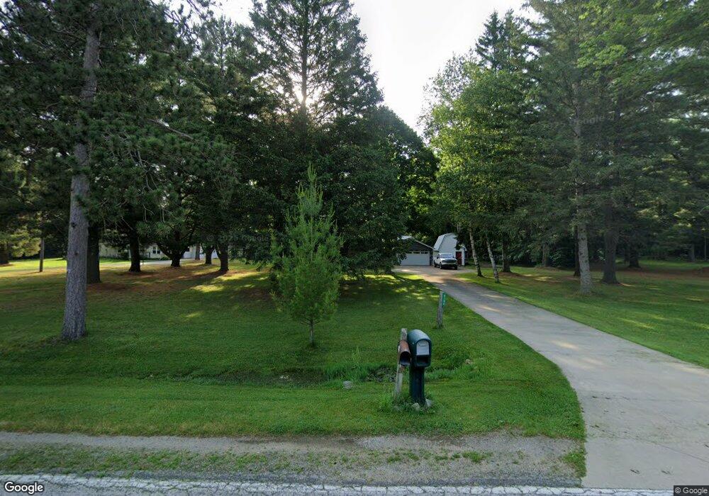
6186 N Gale Rd Davison, MI 48423
Estimated Value: $166,000 - $262,000
2
Beds
1
Bath
864
Sq Ft
$226/Sq Ft
Est. Value
About This Home
This home is located at 6186 N Gale Rd, Davison, MI 48423 and is currently estimated at $195,285, approximately $226 per square foot. 6186 N Gale Rd is a home located in Genesee County with nearby schools including Thomson Elementary School, Siple Elementary School, and Hill Elementary School.
Ownership History
Date
Name
Owned For
Owner Type
Purchase Details
Closed on
Sep 18, 2006
Sold by
Dubay John J and Dubay Darcy M
Bought by
Dickie Aaron T
Current Estimated Value
Home Financials for this Owner
Home Financials are based on the most recent Mortgage that was taken out on this home.
Original Mortgage
$118,750
Interest Rate
6.18%
Mortgage Type
Purchase Money Mortgage
Purchase Details
Closed on
Jul 27, 2001
Sold by
Sandona Olindo J and Sandona Irene J
Bought by
Dubay John J and Dubay Darcy M
Home Financials for this Owner
Home Financials are based on the most recent Mortgage that was taken out on this home.
Original Mortgage
$51,500
Interest Rate
7.11%
Create a Home Valuation Report for This Property
The Home Valuation Report is an in-depth analysis detailing your home's value as well as a comparison with similar homes in the area
Home Values in the Area
Average Home Value in this Area
Purchase History
| Date | Buyer | Sale Price | Title Company |
|---|---|---|---|
| Dickie Aaron T | $125,000 | Choice I Title | |
| Dubay John J | $65,000 | -- |
Source: Public Records
Mortgage History
| Date | Status | Borrower | Loan Amount |
|---|---|---|---|
| Previous Owner | Dickie Aaron T | $118,750 | |
| Previous Owner | Dubay John J | $51,500 |
Source: Public Records
Tax History Compared to Growth
Tax History
| Year | Tax Paid | Tax Assessment Tax Assessment Total Assessment is a certain percentage of the fair market value that is determined by local assessors to be the total taxable value of land and additions on the property. | Land | Improvement |
|---|---|---|---|---|
| 2025 | $2,086 | $131,600 | $0 | $0 |
| 2024 | $588 | $79,300 | $0 | $0 |
| 2023 | $561 | $70,800 | $0 | $0 |
| 2022 | $1,852 | $64,600 | $0 | $0 |
| 2021 | $1,836 | $60,100 | $0 | $0 |
| 2020 | $514 | $56,500 | $0 | $0 |
| 2019 | $505 | $53,200 | $0 | $0 |
| 2018 | $1,069 | $51,200 | $0 | $0 |
| 2017 | $1,499 | $51,200 | $0 | $0 |
| 2016 | $1,496 | $55,400 | $0 | $0 |
| 2015 | $1,208 | $49,200 | $0 | $0 |
| 2014 | $466 | $40,500 | $0 | $0 |
| 2012 | -- | $37,800 | $37,800 | $0 |
Source: Public Records
Map
Nearby Homes
- 6152 N Gale Rd
- 6096 N Gale Rd
- 9377 Hubbard Rd
- 5238 N Gale Rd
- 9475 Sandy Hollow Ln Unit 109
- 1240 N Irish Rd
- 5105 N Irish Rd
- 5165 N Irish Rd
- 5346 N Oak Rd
- 6024 N Vassar Rd
- 7017 E Coldwater Rd
- 9508 Orchard Lake Dr
- 9520 Orchard Lake Dr
- 6185 N Vassar Rd
- 255 Roosevelt Dr
- 11033 Carr Rd
- 4063 N Gale Rd
- 11093 Carr Rd
- 4078 N State Rd
- 2444 E Stanley Rd
- 9066 Coughlin Dr
- 6164 N Gale Rd
- 9074 Coughlin Dr
- 9063 Coughlin Dr
- 6200 N Gale Rd
- 9071 Coughlin Dr
- 6132 N Gale Rd
- 6222 N Gale Rd
- 9076 Richfield Park Rd
- 9048 Richfield Park Rd
- 9040 Richfield Park Rd
- 6232 N Gale Rd
- 6128 N Gale Rd
- 9020 Richfield Park Rd
- 6189 N Gale Rd
- 6104 N Gale Rd
- 6248 N Gale Rd
- 6114 N Gale Rd
- 6171 N Gale Rd
- 6233 N Gale Rd