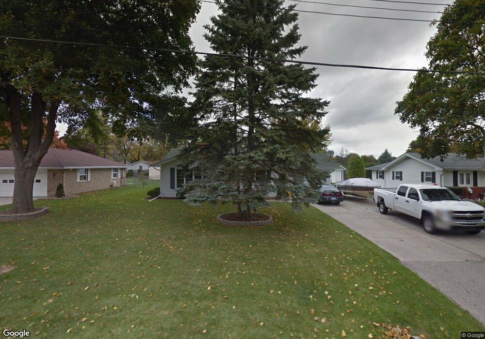
6186 Thistle Dr Saginaw, MI 48638
Estimated Value: $175,000 - $197,000
2
Beds
2
Baths
1,084
Sq Ft
$171/Sq Ft
Est. Value
About This Home
This home is located at 6186 Thistle Dr, Saginaw, MI 48638 and is currently estimated at $185,115, approximately $170 per square foot. 6186 Thistle Dr is a home located in Saginaw County with nearby schools including Arrowwood Elementary School, Westdale Elementary School, and White Pine Middle School.
Ownership History
Date
Name
Owned For
Owner Type
Purchase Details
Closed on
Jan 24, 2004
Sold by
Loos James A and Loos Pamela S
Bought by
Loos James A and Loos Pamela S
Current Estimated Value
Home Financials for this Owner
Home Financials are based on the most recent Mortgage that was taken out on this home.
Original Mortgage
$118,750
Outstanding Balance
$56,150
Interest Rate
6.06%
Mortgage Type
Stand Alone Refi Refinance Of Original Loan
Estimated Equity
$128,965
Purchase Details
Closed on
Apr 28, 2003
Sold by
Loos J S and P S
Bought by
Loos Family Trust
Create a Home Valuation Report for This Property
The Home Valuation Report is an in-depth analysis detailing your home's value as well as a comparison with similar homes in the area
Home Values in the Area
Average Home Value in this Area
Purchase History
| Date | Buyer | Sale Price | Title Company |
|---|---|---|---|
| Loos James A | -- | Nta | |
| Loos Family Trust | -- | -- | |
| Loos James A | -- | -- |
Source: Public Records
Mortgage History
| Date | Status | Borrower | Loan Amount |
|---|---|---|---|
| Open | Loos James A | $118,750 |
Source: Public Records
Tax History Compared to Growth
Tax History
| Year | Tax Paid | Tax Assessment Tax Assessment Total Assessment is a certain percentage of the fair market value that is determined by local assessors to be the total taxable value of land and additions on the property. | Land | Improvement |
|---|---|---|---|---|
| 2025 | $2,045 | $65,100 | $0 | $0 |
| 2024 | $1,013 | $67,200 | $0 | $0 |
| 2023 | $964 | $60,100 | $0 | $0 |
| 2022 | $1,772 | $55,700 | $0 | $0 |
| 2021 | $1,635 | $53,400 | $0 | $0 |
| 2020 | $1,594 | $49,400 | $0 | $0 |
| 2019 | $1,524 | $44,900 | $6,600 | $38,300 |
| 2018 | $715 | $42,700 | $0 | $0 |
| 2017 | $1,366 | $42,100 | $0 | $0 |
| 2016 | $1,348 | $40,400 | $0 | $0 |
| 2014 | $1,335 | $42,100 | $0 | $34,000 |
| 2013 | -- | $43,700 | $0 | $0 |
Source: Public Records
Map
Nearby Homes
- 6235 Dewhirst Dr
- 58 Deer Trail
- 73 Foxwood Dr
- 75 Foxwood Dr
- 74 Foxwood Dr
- 76 Foxwood Dr
- 79 Deer Trail
- 80 Deer Trail
- 1439 Midland Rd
- 62 Bunny Trail
- 72 Bunny Trail
- 71 Bunny Trail
- 69 Bunny Trail
- 68 Bunny Trail
- 67 Bunny Trail
- 63 Bunny Trail
- 70 Bunny Trail
- 1900 Bunny Trail
- 1839 Kingston Dr
- 1607 Cranbrook Dr
- 6170 Thistle Dr
- 6200 Thistle Dr
- 6183 Amanda Dr
- 6185 Thistle Dr
- 1495 Bryn Mawr Place
- 6220 Thistle Dr
- 6171 Thistle Dr
- 6201 Amanda Dr
- 6201 Thistle Dr
- 6140 Thistle Dr
- 6211 Amanda Dr
- 6219 Thistle Dr
- 6234 Thistle Dr
- 1508 Bryn Mawr Place
- 6235 Thistle Dr
- 6227 Amanda Dr Unit 6229 Amanda
- 6227 Amanda Dr
- Lot 8 Amanda Dr
- 0 Amanda Unit G50025747
- 0 Amanda Unit 6119&6121 20028149