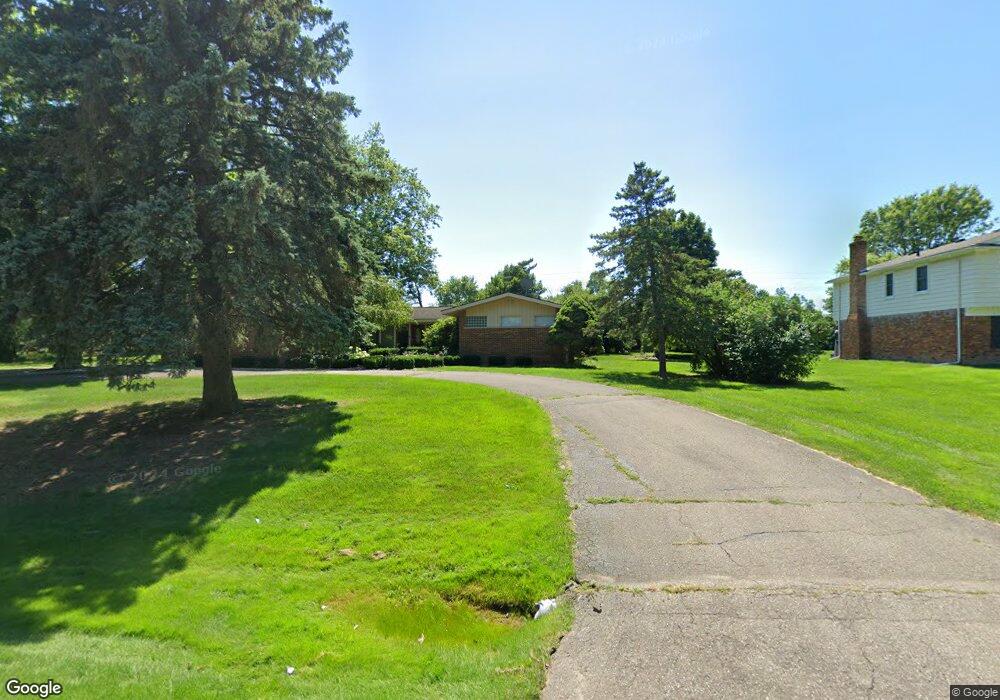
6186 Wellesley Dr West Bloomfield, MI 48322
Estimated Value: $466,000 - $568,000
3
Beds
4
Baths
2,828
Sq Ft
$180/Sq Ft
Est. Value
About This Home
This home is located at 6186 Wellesley Dr, West Bloomfield, MI 48322 and is currently estimated at $508,997, approximately $179 per square foot. 6186 Wellesley Dr is a home located in Oakland County with nearby schools including Sheiko Elementary School, Bloomfield Maples Montessori, and Sarah & Irving Pitt Child Development Center.
Ownership History
Date
Name
Owned For
Owner Type
Purchase Details
Closed on
Mar 4, 2016
Sold by
Jackson Anita Yvette
Bought by
Jackson Anita and Jackson Thomas L
Current Estimated Value
Purchase Details
Closed on
Jul 27, 2015
Sold by
Griffin William
Bought by
Jackson Anita
Purchase Details
Closed on
May 22, 2015
Sold by
Treasurer Of Oakland County
Bought by
Griffin William C
Purchase Details
Closed on
Aug 22, 2007
Sold by
Advantage 99 Td
Bought by
B & B Group Llp
Purchase Details
Closed on
Oct 23, 2006
Sold by
Dohany Patrick M
Bought by
Buyers Market Llc
Create a Home Valuation Report for This Property
The Home Valuation Report is an in-depth analysis detailing your home's value as well as a comparison with similar homes in the area
Home Values in the Area
Average Home Value in this Area
Purchase History
| Date | Buyer | Sale Price | Title Company |
|---|---|---|---|
| Jackson Anita | -- | None Available | |
| Jackson Anita | -- | None Available | |
| Griffin William C | $250 | None Available | |
| B & B Group Llp | -- | None Available | |
| Buyers Market Llc | $1,000 | None Available |
Source: Public Records
Tax History
| Year | Tax Paid | Tax Assessment Tax Assessment Total Assessment is a certain percentage of the fair market value that is determined by local assessors to be the total taxable value of land and additions on the property. | Land | Improvement |
|---|---|---|---|---|
| 2025 | $4,882 | $218,390 | $39,220 | $179,170 |
| 2024 | $3,042 | $207,950 | $0 | $0 |
| 2022 | $2,913 | $193,820 | $34,100 | $159,720 |
| 2021 | $4,665 | $190,440 | $0 | $0 |
| 2020 | $3,008 | $183,580 | $34,100 | $149,480 |
| 2018 | $4,708 | $168,600 | $29,600 | $139,000 |
| 2015 | -- | $129,170 | $0 | $0 |
| 2014 | -- | $119,020 | $0 | $0 |
| 2011 | -- | $108,370 | $0 | $0 |
Source: Public Records
Map
Nearby Homes
- 6407 Buxton Ct
- 6260 Nicholas Dr
- 6151 Orchard Lake Rd Unit 103
- 3472 Winchester Rd
- 6020 Northfield Rd
- 3865 Stonecrest Rd
- 6322 Pepper Hill St Unit 62
- 4205 Pinehurst Dr
- 6843 Leslee Crest Dr
- 5586 Wild Ridge Ln
- 6545 Post Oak Dr
- 5608 Pembrooke Crossing
- 6651 Hearthside Ct Unit 1
- 6610 Fieldstone Ct
- 6622 Fieldstone Ct
- 5865 Dunmore Ct
- 6076 Dunmore Dr
- 5590 Pembury
- 5324 Fairway Ct
- 4117 Marlwood Dr
- 6166 Wellesley Dr
- 6206 Wellesley Dr
- 6277 Tamerlane Dr
- 6251 Tamerlane Dr
- 6190 Cochise Dr
- 6303 Tamerlane Dr
- 6146 Wellesley Dr
- 6225 Tamerlane Dr
- 6151 Wellesley Dr
- 6215 Wellesley Dr
- 6160 Cochise Dr
- 6327 Tamerlane Dr
- 6171 Cochise Dr
- 6280 Tamerlane Dr
- 6131 Wellesley Dr
- 6191 Buxton Dr
- 6246 Wellesley Dr
- 6126 Wellesley Dr
- 6239 Buxton Dr
- 6130 Cochise Dr
Your Personal Tour Guide
Ask me questions while you tour the home.