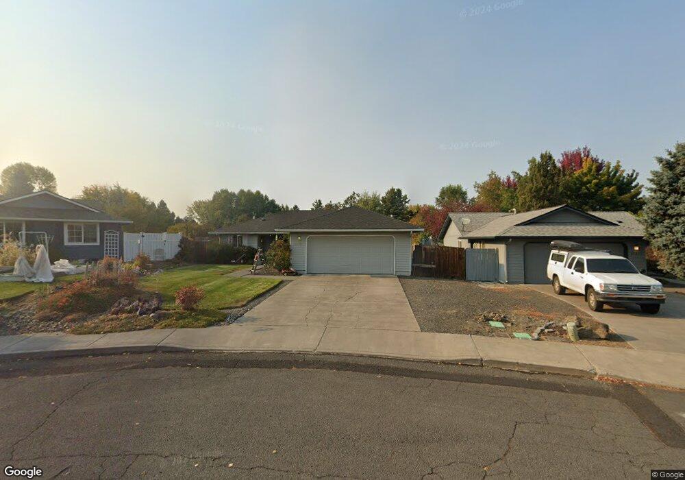
61871 Avonlea Cir Bend, OR 97702
Larkspur NeighborhoodEstimated Value: $486,000 - $531,000
3
Beds
2
Baths
1,160
Sq Ft
$431/Sq Ft
Est. Value
About This Home
This home is located at 61871 Avonlea Cir, Bend, OR 97702 and is currently estimated at $500,412, approximately $431 per square foot. 61871 Avonlea Cir is a home located in Deschutes County with nearby schools including Bear Creek Elementary School, Pilot Butte Middle School, and Bend Senior High School.
Ownership History
Date
Name
Owned For
Owner Type
Purchase Details
Closed on
Oct 22, 2025
Sold by
Rk Wellen Living Trust and Wellen Robert J
Bought by
Smith Joanne
Current Estimated Value
Home Financials for this Owner
Home Financials are based on the most recent Mortgage that was taken out on this home.
Original Mortgage
$484,070
Outstanding Balance
$481,137
Interest Rate
5.99%
Mortgage Type
FHA
Estimated Equity
$19,275
Purchase Details
Closed on
Apr 26, 2022
Sold by
Wellen Robert J
Bought by
Rk Wellen Living Trust
Create a Home Valuation Report for This Property
The Home Valuation Report is an in-depth analysis detailing your home's value as well as a comparison with similar homes in the area
Home Values in the Area
Average Home Value in this Area
Purchase History
We collect this data history from publicly available records. To have your information removed, we recommend requesting removal directly through your county’s website.
| Date | Buyer | Sale Price | Title Company |
|---|---|---|---|
| Smith Joanne | $493,000 | First American Title | |
| Rk Wellen Living Trust | -- | None Listed On Document |
Source: Public Records
Mortgage History
We collect this data history from publicly available records. To have your information removed, we recommend requesting removal directly through your county’s website.
| Date | Status | Borrower | Loan Amount |
|---|---|---|---|
| Open | Smith Joanne | $484,070 |
Source: Public Records
Tax History
| Year | Tax Paid | Tax Assessment Tax Assessment Total Assessment is a certain percentage of the fair market value that is determined by local assessors to be the total taxable value of land and additions on the property. | Land | Improvement |
|---|---|---|---|---|
| 2025 | $3,260 | $192,960 | -- | -- |
| 2024 | $3,137 | $187,340 | -- | -- |
| 2023 | $2,908 | $181,890 | $0 | $0 |
| 2022 | $2,713 | $171,460 | $0 | $0 |
| 2021 | $2,717 | $166,470 | $0 | $0 |
| 2020 | $2,578 | $166,470 | $0 | $0 |
| 2019 | $2,506 | $161,630 | $0 | $0 |
| 2018 | $2,436 | $156,930 | $0 | $0 |
| 2017 | $2,364 | $152,360 | $0 | $0 |
| 2016 | $2,255 | $147,930 | $0 | $0 |
| 2015 | $2,192 | $143,630 | $0 | $0 |
| 2014 | $2,128 | $139,450 | $0 | $0 |
Source: Public Records
Map
Nearby Homes
- 61908 Pettigrew Rd
- 61839 Avonlea Cir
- 61969 SE 27th St
- 61984 Pettigrew Rd
- 131 SE Airpark Dr
- 2241 SE Pilatus Ln
- 21190 Darnel Ave
- 209 SE Soft Tail Dr
- 217 SE Soft Tail Dr
- 21172 Clairaway Ave
- 21283 Dove Ln
- 21315 Livingston Dr
- 62062 Dean Swift Rd
- 62017 NE Nate's Place
- 21177 Ritz Place
- 21189 Ritz Place
- 21248 Lily Way
- 61703 Tulip Way
- 61683 Daly Estates Dr
- 21362 Bear Creek Rd
- 21155 Copperfield Ave
- 21155 SE Copperfield
- 21159 Copperfield Ave
- 21163 Copperfield Ave
- 61875 Avonlea Cir
- 52 Copperfield Ave
- 51 Copperfield Ave
- 4 Copperfield Ave
- 21156 Copperfield Ave
- 21167 Copperfield Ave
- 21160 Copperfield Ave
- 61904 Pettigrew Rd
- 61879 Avonlea Cir
- 21164 Copperfield Ave
- 61919 Janalee Place
- 21171 Copperfield Ave
- 61883 Avonlea Cir
- 61867 Avonlea Cir
- 61923 Janalee Place
- 21168 Copperfield Ave
Your Personal Tour Guide
Ask me questions while you tour the home.