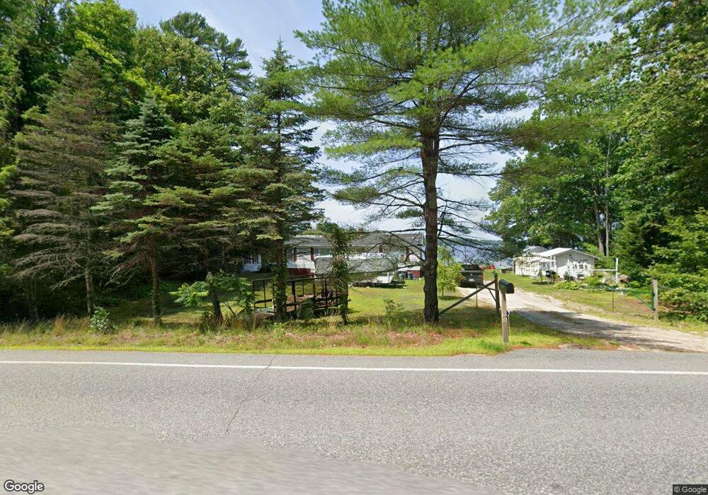
619 Bakerstown Rd Poland, ME 04274
Estimated Value: $449,000 - $627,000
4
Beds
3
Baths
1,080
Sq Ft
$496/Sq Ft
Est. Value
About This Home
This home is located at 619 Bakerstown Rd, Poland, ME 04274 and is currently estimated at $535,882, approximately $496 per square foot. 619 Bakerstown Rd is a home located in Androscoggin County with nearby schools including Poland Community School, Bruce M. Whittier Middle School, and Poland Regional High School.
Ownership History
Date
Name
Owned For
Owner Type
Purchase Details
Closed on
Dec 16, 2015
Sold by
Capital Area Fcu and Chaplin
Bought by
Capital Area Fcu
Current Estimated Value
Purchase Details
Closed on
Nov 9, 2011
Sold by
Lacount Shawn and Deletetsky Terri I
Bought by
Chaplin Richard M
Home Financials for this Owner
Home Financials are based on the most recent Mortgage that was taken out on this home.
Original Mortgage
$225,000
Outstanding Balance
$152,226
Interest Rate
4.01%
Mortgage Type
Commercial
Estimated Equity
$383,656
Create a Home Valuation Report for This Property
The Home Valuation Report is an in-depth analysis detailing your home's value as well as a comparison with similar homes in the area
Home Values in the Area
Average Home Value in this Area
Purchase History
| Date | Buyer | Sale Price | Title Company |
|---|---|---|---|
| Capital Area Fcu | -- | -- | |
| Chaplin Richard M | -- | -- | |
| Deletetsky Terri I | -- | -- |
Source: Public Records
Mortgage History
| Date | Status | Borrower | Loan Amount |
|---|---|---|---|
| Open | Chaplin Richard M | $225,000 |
Source: Public Records
Tax History Compared to Growth
Tax History
| Year | Tax Paid | Tax Assessment Tax Assessment Total Assessment is a certain percentage of the fair market value that is determined by local assessors to be the total taxable value of land and additions on the property. | Land | Improvement |
|---|---|---|---|---|
| 2024 | $4,921 | $297,700 | $262,400 | $35,300 |
| 2023 | $4,061 | $297,700 | $262,400 | $35,300 |
| 2022 | $3,746 | $248,100 | $218,700 | $29,400 |
| 2021 | $3,746 | $248,100 | $218,700 | $29,400 |
| 2020 | $3,717 | $248,100 | $218,700 | $29,400 |
| 2019 | $3,717 | $248,100 | $218,700 | $29,400 |
| 2018 | $4,143 | $276,550 | $210,600 | $65,950 |
| 2016 | $3,980 | $276,550 | $210,600 | $65,950 |
| 2015 | $3,927 | $276,550 | $210,600 | $65,950 |
| 2014 | $3,872 | $276,550 | $210,600 | $65,950 |
| 2013 | $3,775 | $276,550 | $210,600 | $65,950 |
Source: Public Records
Map
Nearby Homes
- Lot 8 Bakerstown Rd
- 10-7B White Oak Hill Rd
- 27 Justrite Way
- 6 Justrite Way
- 40 Jordan Shore Dr
- 325 N Raymond Rd
- 0 Lucys Dr
- 79 Abrams Ln
- 97 Tripp Lake Rd
- Lot 46 Maine St
- Lot 47C-3 Maine St
- 13 & 16 Joyal Hill Ln
- 26 E East Beach Rd Unit 26
- 568 Plains Rd
- 53 Westview Dr
- 192 Mountain Rd
- 42 Olde Birch Ln
- 3-10 Tiger Hill Rd
- 125 Pigeon Hill Rd
- Lot 47D -C Hines Rd
- 596 Bakerstown Rd
- 588 Bakerstown Rd
- 592 Bakerstown Rd
- 575 White Oak Hill Rd
- 0 Megquire Hill
- 0 Megquier Hill
- 0 Megquier Hill Rd
- 0 Megquire Hill Rd
- 10 Megquier Hill Rd
- 656 Bakerstown Rd
- 509A White Oak Hill
- 509C White Oak Hill
- 509 White Oak Hill
- 553 White Oak Hill Rd
- 584 Bakerstown Rd
- 11 Megquier Hill Rd
- 28 Megquier Hill Rd
- 497 White Oak Hill Rd
- 509 White Oak Hill Rd
- 483 White Oak Hill Rd