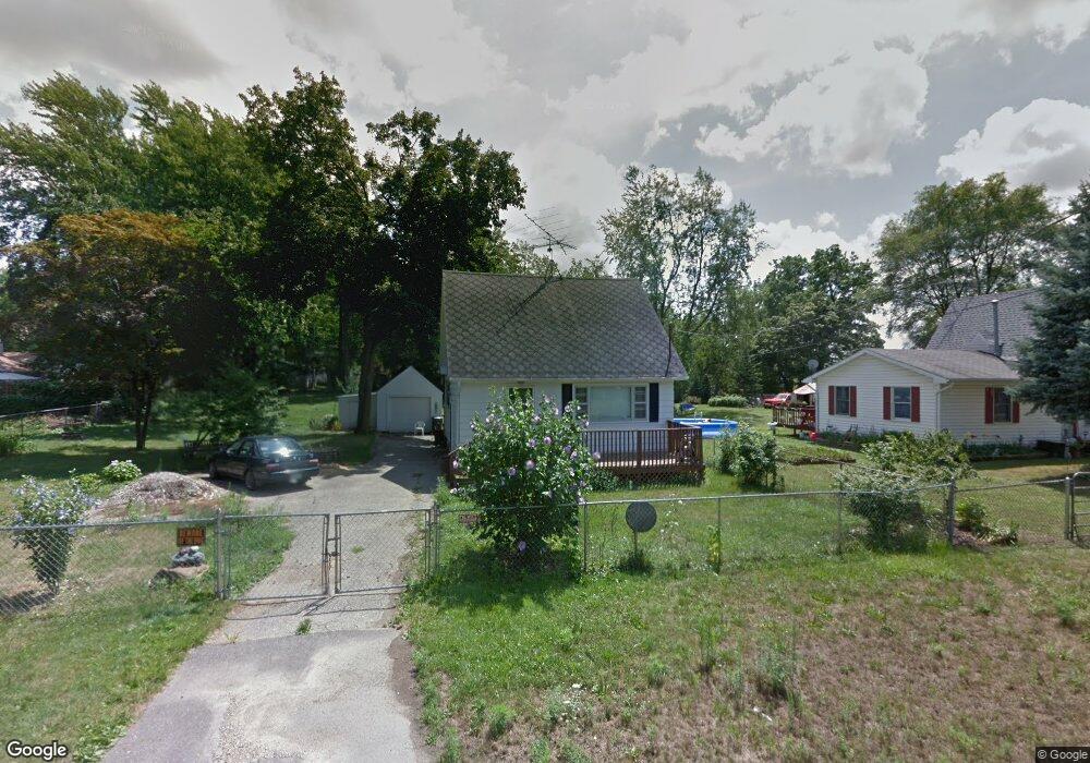
619 Carrier St Lansing, MI 48906
Creston NeighborhoodEstimated Value: $135,000 - $165,000
3
Beds
3
Baths
1,092
Sq Ft
$137/Sq Ft
Est. Value
About This Home
This home is located at 619 Carrier St, Lansing, MI 48906 and is currently estimated at $149,224, approximately $136 per square foot. 619 Carrier St is a home located in Ingham County with nearby schools including Gier Park School, Pattengill Academy, and Eastern High School.
Ownership History
Date
Name
Owned For
Owner Type
Purchase Details
Closed on
Feb 16, 2022
Sold by
Welsch Margaret A
Bought by
Berry Deborah A
Current Estimated Value
Purchase Details
Closed on
Jan 18, 2007
Sold by
Ridge Judith and Ridge Judith G
Bought by
Welsch Margaret A
Purchase Details
Closed on
May 13, 2004
Sold by
Welsch Margaret A
Bought by
Ridge Judith
Purchase Details
Closed on
Apr 29, 2004
Sold by
Welsch Margaret A and Estate Of Cecil I Goodrich
Bought by
Welsch Margaret A
Purchase Details
Closed on
Apr 14, 2004
Sold by
Walker Marolyn C
Bought by
Welsch Margaret A
Create a Home Valuation Report for This Property
The Home Valuation Report is an in-depth analysis detailing your home's value as well as a comparison with similar homes in the area
Home Values in the Area
Average Home Value in this Area
Purchase History
| Date | Buyer | Sale Price | Title Company |
|---|---|---|---|
| Berry Deborah A | $2,300 | None Listed On Document | |
| Welsch Margaret A | -- | None Available | |
| Ridge Judith | -- | -- | |
| Welsch Margaret A | -- | -- | |
| Welsch Margaret A | -- | -- |
Source: Public Records
Tax History Compared to Growth
Tax History
| Year | Tax Paid | Tax Assessment Tax Assessment Total Assessment is a certain percentage of the fair market value that is determined by local assessors to be the total taxable value of land and additions on the property. | Land | Improvement |
|---|---|---|---|---|
| 2025 | $3,582 | $55,700 | $9,300 | $46,400 |
| 2024 | $30 | $55,200 | $9,300 | $45,900 |
| 2023 | $3,233 | $46,700 | $9,300 | $37,400 |
| 2022 | $2,951 | $43,400 | $10,500 | $32,900 |
| 2021 | $2,882 | $40,200 | $10,600 | $29,600 |
| 2020 | $2,862 | $38,900 | $10,600 | $28,300 |
| 2019 | $2,767 | $37,300 | $10,600 | $26,700 |
| 2018 | $2,622 | $34,800 | $10,600 | $24,200 |
| 2017 | $2,524 | $34,800 | $10,600 | $24,200 |
| 2016 | $2,425 | $34,300 | $10,600 | $23,700 |
| 2015 | $2,425 | $32,900 | $21,193 | $11,707 |
| 2014 | $2,425 | $32,400 | $22,707 | $9,693 |
Source: Public Records
Map
Nearby Homes
- 627 W Frederick Ave
- 310 W Frederick Ave
- 3425 Turner Rd
- 415 Filley St
- 16967 Jones Lake Rd
- 712 W Sheridan Rd
- 714 W Sheridan Rd
- 117 Desander Dr Unit 117
- 109 Desander Dr Unit 109
- 1523 Biltmore Blvd
- 16653 Jerry Rd
- 85 Nettie Ave Unit 85
- 213 E Thomas St
- 2508 Gary Ave
- 152 Donald Ave Unit 152
- 3021 N Grand River Ave
- 533 Community St
- 151 Donald Ave Unit 151
- 5250 N Grand River Ave
- 1616 Roseneath Ave