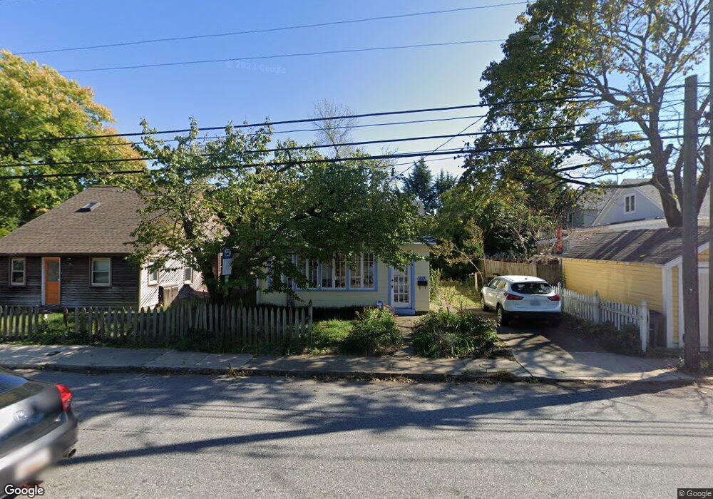
619 Chesapeake Ave Annapolis, MD 21403
Eastport NeighborhoodEstimated Value: $617,556 - $1,208,000
--
Bed
1
Bath
748
Sq Ft
$1,155/Sq Ft
Est. Value
About This Home
This home is located at 619 Chesapeake Ave, Annapolis, MD 21403 and is currently estimated at $864,139, approximately $1,155 per square foot. 619 Chesapeake Ave is a home located in Anne Arundel County with nearby schools including Eastport Elementary School, Annapolis Middle School, and Annapolis High School.
Ownership History
Date
Name
Owned For
Owner Type
Purchase Details
Closed on
Oct 13, 1995
Sold by
Wilson Michael A
Bought by
Bramlett Sherri L
Current Estimated Value
Home Financials for this Owner
Home Financials are based on the most recent Mortgage that was taken out on this home.
Original Mortgage
$122,350
Outstanding Balance
$868
Interest Rate
7.71%
Estimated Equity
$863,271
Create a Home Valuation Report for This Property
The Home Valuation Report is an in-depth analysis detailing your home's value as well as a comparison with similar homes in the area
Home Values in the Area
Average Home Value in this Area
Purchase History
| Date | Buyer | Sale Price | Title Company |
|---|---|---|---|
| Bramlett Sherri L | $122,500 | -- |
Source: Public Records
Mortgage History
| Date | Status | Borrower | Loan Amount |
|---|---|---|---|
| Open | Bramlett Sherri L | $122,350 |
Source: Public Records
Tax History Compared to Growth
Tax History
| Year | Tax Paid | Tax Assessment Tax Assessment Total Assessment is a certain percentage of the fair market value that is determined by local assessors to be the total taxable value of land and additions on the property. | Land | Improvement |
|---|---|---|---|---|
| 2025 | $5,704 | $550,467 | -- | -- |
| 2024 | $5,704 | $534,733 | $0 | $0 |
| 2023 | $5,546 | $519,000 | $465,600 | $53,400 |
| 2022 | $5,367 | $506,600 | $0 | $0 |
| 2021 | $5,116 | $494,200 | $0 | $0 |
| 2020 | $5,116 | $481,800 | $430,500 | $51,300 |
| 2019 | $5,029 | $473,700 | $0 | $0 |
| 2018 | $4,906 | $465,600 | $0 | $0 |
| 2017 | $4,254 | $457,500 | $0 | $0 |
| 2016 | -- | $414,233 | $0 | $0 |
| 2015 | -- | $395,967 | $0 | $0 |
| 2014 | -- | $327,700 | $0 | $0 |
Source: Public Records
Map
Nearby Homes
- 320 Chester Ave
- 10 Sailors Way
- 316 Burnside St Unit 101
- 301 Burnside St Unit C 202
- 312 Severn Ave Unit W-401
- 289 State St Unit 4
- 287 State St Unit 3
- 215 Chester Ave
- 200 Chesapeake Ave
- 120 Chesapeake Ave
- 934 Bay Ridge Ave Unit 308
- 412 Jefferson St
- 1007 Park Ave
- 27 Jeremys Way
- 9 Shipwright St
- 513 Horn Point Dr
- 794 Fairview Ave Unit 794 C
- 3 Chester Ave
- 755 Fairview Ave Unit 755 D
- 168 Green St
- 617 Chesapeake Ave
- 501 Burnside St
- 507 Burnside St
- 435 Burnside St
- 509 Burnside St
- 511 Burnside St
- 701 Chesapeake Ave
- 500 Sixth St
- 504 Sixth St
- 433 Burnside St
- 510 6th St
- 424 Sixth St
- 510 Burnside St
- 431 Burnside St
- 431 Burnside St Unit COTTAGE
- 431 Burnside St Unit BEHIND HOUSE
- 517 Burnside St
- 700 Chesapeake Ave
- 512 Burnside St
- 510 Sixth St