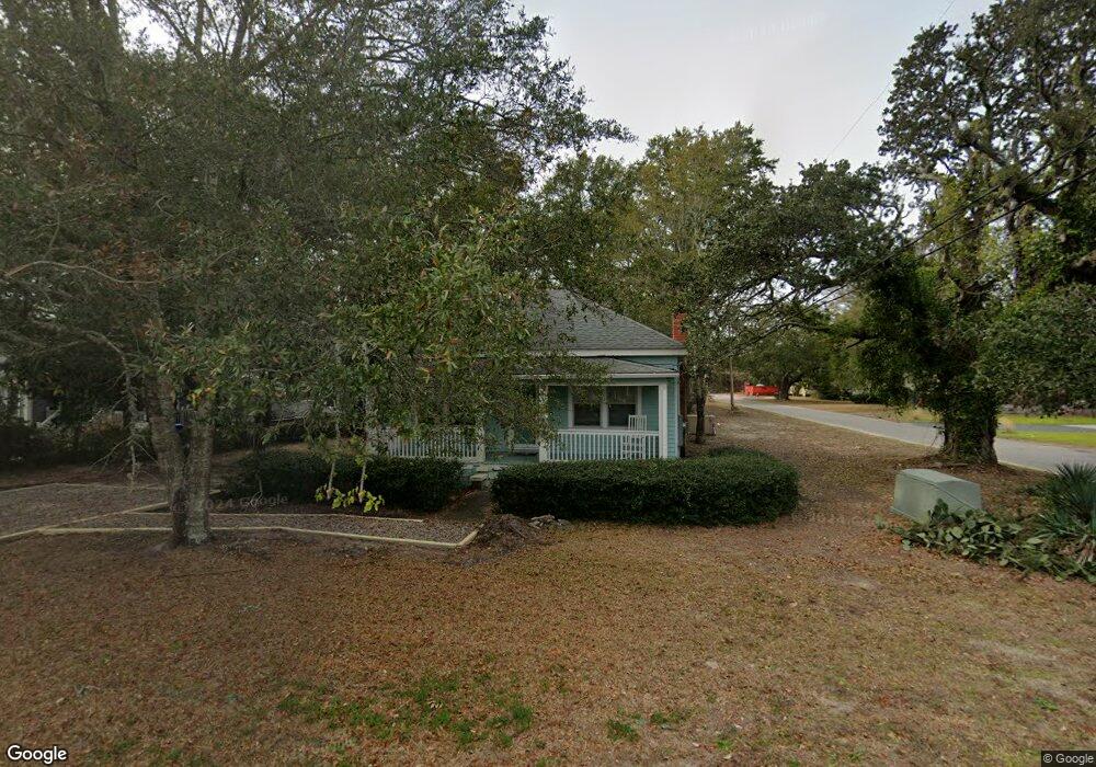
619 Clarendon Ave Southport, NC 28461
Estimated Value: $325,000 - $530,000
3
Beds
2
Baths
1,239
Sq Ft
$327/Sq Ft
Est. Value
About This Home
This home is located at 619 Clarendon Ave, Southport, NC 28461 and is currently estimated at $404,682, approximately $326 per square foot. 619 Clarendon Ave is a home located in Brunswick County with nearby schools including Southport Elementary School, South Brunswick Middle School, and South Brunswick High School.
Ownership History
Date
Name
Owned For
Owner Type
Purchase Details
Closed on
Nov 11, 2019
Sold by
Swain Joel Wellington and Swain Elouise
Bought by
Swain Joel Wellington and Swain Elouise
Current Estimated Value
Purchase Details
Closed on
May 23, 2006
Sold by
Swain Joseph Allen and Swain Delois B
Bought by
Swain Joel W and Swain Elouise
Home Financials for this Owner
Home Financials are based on the most recent Mortgage that was taken out on this home.
Original Mortgage
$150,000
Outstanding Balance
$87,072
Interest Rate
6.44%
Mortgage Type
New Conventional
Estimated Equity
$317,610
Create a Home Valuation Report for This Property
The Home Valuation Report is an in-depth analysis detailing your home's value as well as a comparison with similar homes in the area
Home Values in the Area
Average Home Value in this Area
Purchase History
| Date | Buyer | Sale Price | Title Company |
|---|---|---|---|
| Swain Joel Wellington | -- | None Available | |
| Swain Joel W | $198,000 | None Available |
Source: Public Records
Mortgage History
| Date | Status | Borrower | Loan Amount |
|---|---|---|---|
| Open | Swain Joel W | $150,000 |
Source: Public Records
Tax History Compared to Growth
Tax History
| Year | Tax Paid | Tax Assessment Tax Assessment Total Assessment is a certain percentage of the fair market value that is determined by local assessors to be the total taxable value of land and additions on the property. | Land | Improvement |
|---|---|---|---|---|
| 2025 | $1,548 | $194,840 | $78,410 | $116,430 |
| 2024 | $1,548 | $194,840 | $78,410 | $116,430 |
| 2023 | $1,160 | $194,840 | $78,410 | $116,430 |
| 2022 | $1,160 | $104,310 | $34,850 | $69,460 |
| 2021 | $993 | $104,310 | $34,850 | $69,460 |
| 2020 | $993 | $104,310 | $34,850 | $69,460 |
| 2019 | $993 | $34,850 | $34,850 | $0 |
| 2018 | $1,008 | $106,120 | $47,520 | $58,600 |
| 2017 | $996 | $47,520 | $47,520 | $0 |
| 2016 | $918 | $47,520 | $47,520 | $0 |
| 2015 | $918 | $106,120 | $47,520 | $58,600 |
| 2014 | $925 | $113,290 | $63,360 | $49,930 |
Source: Public Records
Map
Nearby Homes
- Lot 8 Clarendon Ave
- 520 Clarendon Ave
- 611 N Burrington Ave
- 205 W Leonard St
- 617 Port Haven Way
- 409 N Lord St
- 606 W Brown St Unit K
- 606 W Brown St Unit D
- 801 N Caswell Ave
- 29 N Caswell Ave
- Lot 5a N Caswell Ave
- 411 Nicks Way Unit B
- 608 W Brown St Unit C
- 608 W Brown St Unit F
- 742 Skipjack Cir
- 612 W Brown St
- 614 W Brown St Unit A
- 403 N Howe St
- 424 West St
- 210 W West St
- 613 Clarendon Ave
- 0 W Owens St
- 12 W Owens St
- 701 Clarendon Ave
- 415 W Owens St
- 609 Clarendon Ave
- 614 N Burrington Ave
- 412 W Owens St
- 705 Clarendon Ave
- 612 N Burrington Ave
- 706 N Burrington Ave
- 605 Clarendon Ave
- 616 Clarendon Ave
- 614 Clarendon Ave
- 712 Burrington Ave
- Lot 11 Burrington Ave
- 911 Burrington Ave
- 610 Burrington Ave
- 412 Burrington Ave
- 406 Burrington Ave