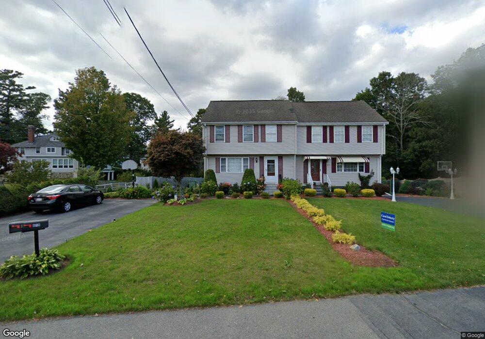
619 Cohannet St Taunton, MA 02780
Estimated Value: $364,000 - $384,000
3
Beds
2
Baths
1,200
Sq Ft
$311/Sq Ft
Est. Value
About This Home
This home is located at 619 Cohannet St, Taunton, MA 02780 and is currently estimated at $372,999, approximately $310 per square foot. 619 Cohannet St is a home located in Bristol County with nearby schools including Mulcahey Elementary School, Taunton High School, and John F. Parker Middle School.
Ownership History
Date
Name
Owned For
Owner Type
Purchase Details
Closed on
Sep 2, 2020
Sold by
Banana Carlos A and Banana Maria D
Bought by
Banana Irt
Current Estimated Value
Purchase Details
Closed on
May 31, 2017
Sold by
Pacheco Mary P
Bought by
Duarte Alda M and Duarte Eduviges G
Purchase Details
Closed on
Jan 23, 1998
Sold by
2 Luscomb Rt and Ludvigsen Faith F
Bought by
Banana Carlos A and Banana Maria D
Create a Home Valuation Report for This Property
The Home Valuation Report is an in-depth analysis detailing your home's value as well as a comparison with similar homes in the area
Home Values in the Area
Average Home Value in this Area
Purchase History
| Date | Buyer | Sale Price | Title Company |
|---|---|---|---|
| Banana Irt | -- | None Available | |
| Duarte Alda M | $228,000 | -- | |
| Banana Carlos A | $94,900 | -- |
Source: Public Records
Mortgage History
| Date | Status | Borrower | Loan Amount |
|---|---|---|---|
| Previous Owner | Banana Carlos A | $52,500 |
Source: Public Records
Tax History Compared to Growth
Tax History
| Year | Tax Paid | Tax Assessment Tax Assessment Total Assessment is a certain percentage of the fair market value that is determined by local assessors to be the total taxable value of land and additions on the property. | Land | Improvement |
|---|---|---|---|---|
| 2025 | $3,514 | $321,200 | $0 | $321,200 |
| 2024 | $3,351 | $299,500 | $0 | $299,500 |
| 2023 | $3,238 | $268,700 | $0 | $268,700 |
| 2022 | $3,163 | $240,000 | $0 | $240,000 |
| 2021 | $2,772 | $195,200 | $0 | $195,200 |
| 2020 | $2,691 | $181,100 | $0 | $181,100 |
| 2019 | $3,032 | $192,400 | $0 | $192,400 |
| 2018 | $3,065 | $195,000 | $0 | $195,000 |
| 2017 | $2,801 | $178,300 | $0 | $178,300 |
| 2016 | $2,710 | $172,800 | $0 | $172,800 |
| 2015 | $2,556 | $170,300 | $0 | $170,300 |
| 2014 | $2,488 | $170,300 | $0 | $170,300 |
Source: Public Records
Map
Nearby Homes
- 24 Highland Terrace
- 193 Winthrop St
- 125 Highland St Unit 103
- 56 Silver St
- 170 Highland St Unit 320
- 132 Winthrop St
- 22 Everett St
- 72 Barnum St
- 39 Myrtle St
- 50 Highland St Unit 20
- 55 Highland Ave
- 26 Kilmer Ave
- 98 Winthrop St
- 278 Cohannet St
- 63 Kilmer Ave
- 19 Mason St
- 48 Oak St
- 16 Clinton St
- 16 Kilton St
- 321 Winthrop St Unit 111
- 617 Cohannet St
- 617 Cohannet St Unit 617
- 617 Cohannet St
- 609 Cohannet St
- 611 Cohannet St
- 627 Cohannet St
- 629 Cohannet St
- 629 Cohannet St Unit 629
- 620 Cohannet St
- 620 Cohannet St Unit 5
- 620 Cohannet St Unit 6
- 597 Cohannet St
- 630 Cohannet St
- 598 Cohannet St Unit 1B
- 598 Cohannet St Unit 3
- 598 Cohannet St
- 640 Cohannet St
- 0 Hamlen St
- 6 Luscomb Rd Unit 1
- 8 Luscomb Rd