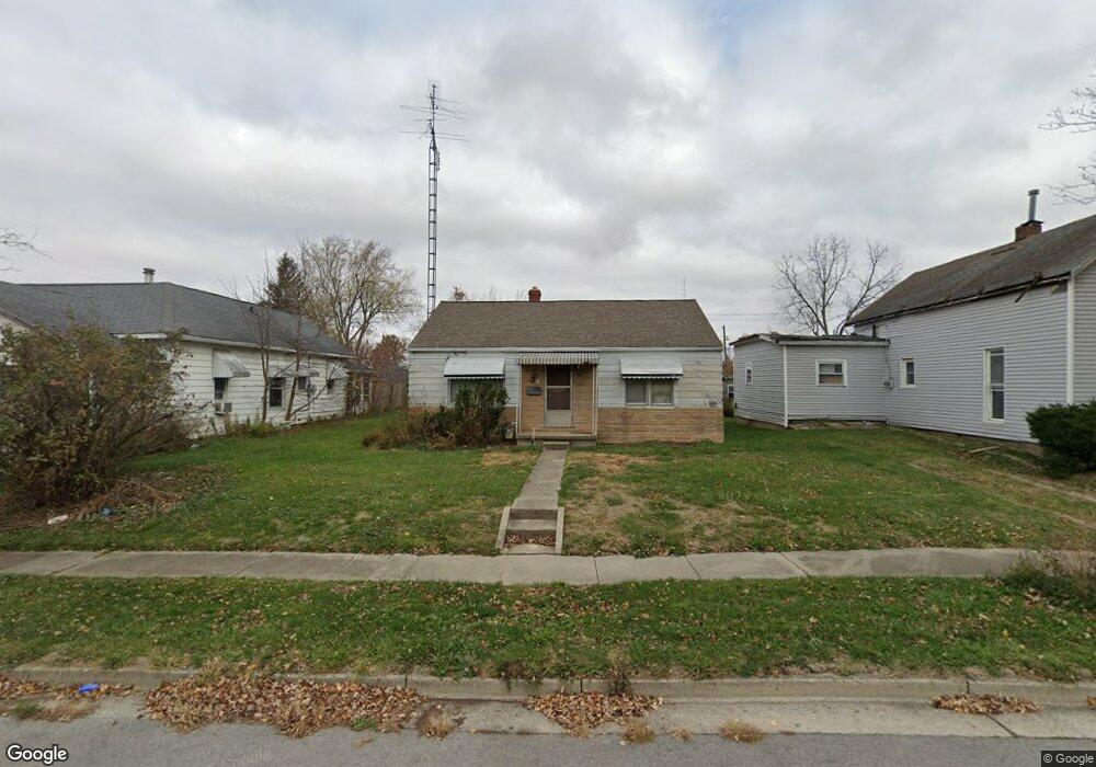
619 Cron St Celina, OH 45822
Estimated Value: $104,000 - $142,967
2
Beds
1
Bath
1,036
Sq Ft
$121/Sq Ft
Est. Value
About This Home
This home is located at 619 Cron St, Celina, OH 45822 and is currently estimated at $125,242, approximately $120 per square foot. 619 Cron St is a home located in Mercer County with nearby schools including Celina Middle School, Celina High School, and Immaculate Conception School.
Ownership History
Date
Name
Owned For
Owner Type
Purchase Details
Closed on
Mar 22, 2024
Sold by
Woodruff Betty Jo
Bought by
Backus William P
Current Estimated Value
Home Financials for this Owner
Home Financials are based on the most recent Mortgage that was taken out on this home.
Original Mortgage
$86,000
Outstanding Balance
$84,194
Interest Rate
6.77%
Mortgage Type
Credit Line Revolving
Estimated Equity
$41,048
Purchase Details
Closed on
Feb 17, 1998
Bought by
Woodruff Betty Jo
Create a Home Valuation Report for This Property
The Home Valuation Report is an in-depth analysis detailing your home's value as well as a comparison with similar homes in the area
Home Values in the Area
Average Home Value in this Area
Purchase History
| Date | Buyer | Sale Price | Title Company |
|---|---|---|---|
| Backus William P | $129,500 | None Listed On Document | |
| Woodruff Betty Jo | $37,000 | -- |
Source: Public Records
Mortgage History
| Date | Status | Borrower | Loan Amount |
|---|---|---|---|
| Open | Backus William P | $86,000 |
Source: Public Records
Tax History
| Year | Tax Paid | Tax Assessment Tax Assessment Total Assessment is a certain percentage of the fair market value that is determined by local assessors to be the total taxable value of land and additions on the property. | Land | Improvement |
|---|---|---|---|---|
| 2025 | $1,580 | $39,170 | $6,130 | $33,040 |
| 2024 | $1,585 | $39,170 | $6,130 | $33,040 |
| 2023 | $1,580 | $39,170 | $6,130 | $33,040 |
| 2022 | $1,114 | $24,120 | $3,610 | $20,510 |
| 2021 | $1,116 | $24,120 | $3,610 | $20,510 |
| 2020 | $940 | $24,120 | $3,610 | $20,510 |
| 2019 | $859 | $20,690 | $3,330 | $17,360 |
| 2018 | $893 | $20,690 | $3,330 | $17,360 |
| 2017 | $857 | $20,690 | $3,330 | $17,360 |
| 2016 | $820 | $19,220 | $3,330 | $15,890 |
| 2015 | $799 | $19,260 | $3,330 | $15,930 |
| 2014 | $800 | $19,260 | $3,330 | $15,930 |
| 2013 | $851 | $19,260 | $3,330 | $15,930 |
Source: Public Records
Map
Nearby Homes
- 1001 N Sugar St
- 906 N Sugar St
- 908 N Sugar St
- 905 N Walnut St
- 115 Touvelle St
- 1312 Michael Ave
- 680 N Main St
- 120 E Blake St
- 116 S Elm St
- 206 Magnolia St
- 609 N Cherry St
- 316 Dogwood Dr
- 308 Dogwood Dr
- 1021 Hemlock St
- 328 E Livingston St
- 1109 Shimp Dr
- 319 E Fayette St
- 526 Willow St
- 545 E Anthony St
- 1201 Lilac Dr
Your Personal Tour Guide
Ask me questions while you tour the home.