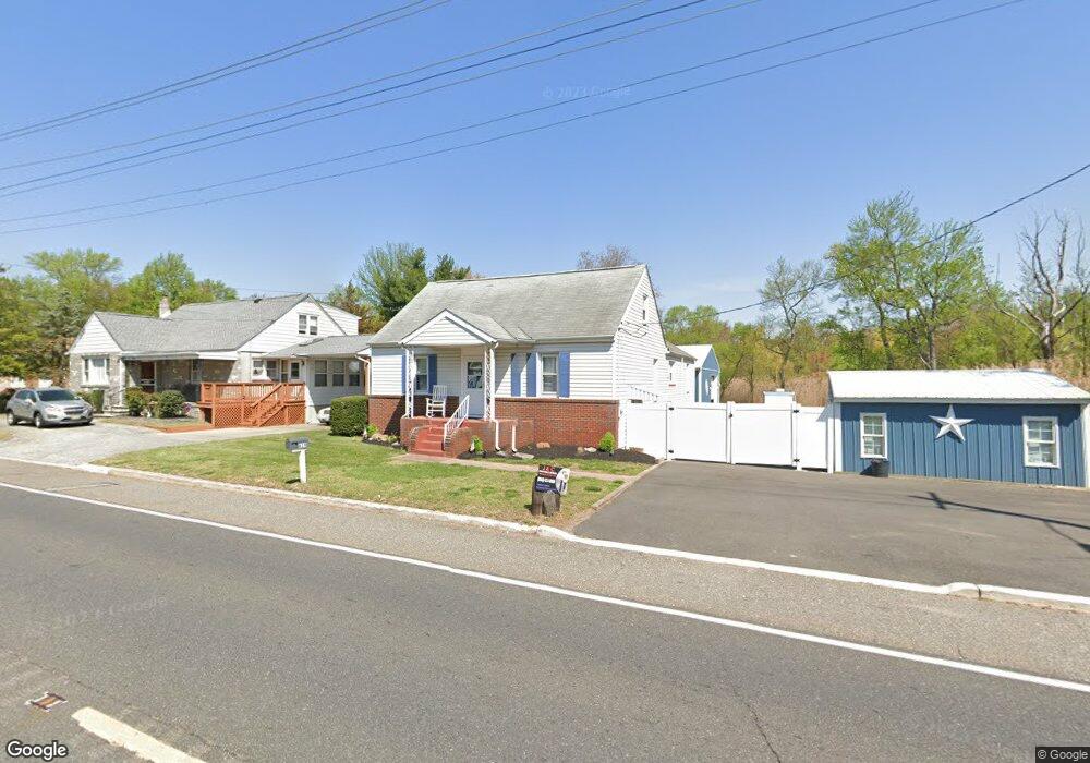
619 E Broad St Gibbstown, NJ 08027
Greenwich Township NeighborhoodEstimated Value: $291,067 - $378,000
--
Bed
--
Bath
2,348
Sq Ft
$150/Sq Ft
Est. Value
About This Home
This home is located at 619 E Broad St, Gibbstown, NJ 08027 and is currently estimated at $352,267, approximately $150 per square foot. 619 E Broad St is a home located in Gloucester County with nearby schools including Nehaunsey Middle School and Guardian Angels Regional School.
Create a Home Valuation Report for This Property
The Home Valuation Report is an in-depth analysis detailing your home's value as well as a comparison with similar homes in the area
Home Values in the Area
Average Home Value in this Area
Tax History Compared to Growth
Tax History
| Year | Tax Paid | Tax Assessment Tax Assessment Total Assessment is a certain percentage of the fair market value that is determined by local assessors to be the total taxable value of land and additions on the property. | Land | Improvement |
|---|---|---|---|---|
| 2025 | $6,473 | $188,000 | $29,000 | $159,000 |
| 2024 | $6,133 | $188,000 | $29,000 | $159,000 |
| 2023 | $6,133 | $188,000 | $29,000 | $159,000 |
| 2022 | $6,136 | $188,000 | $29,000 | $159,000 |
| 2021 | $6,072 | $188,000 | $29,000 | $159,000 |
| 2020 | $6,157 | $188,000 | $29,000 | $159,000 |
| 2019 | $5,954 | $181,700 | $29,000 | $152,700 |
| 2018 | $5,785 | $181,700 | $29,000 | $152,700 |
| 2017 | $5,645 | $181,700 | $29,000 | $152,700 |
| 2016 | $5,584 | $181,700 | $29,000 | $152,700 |
| 2015 | $5,404 | $181,700 | $29,000 | $152,700 |
| 2014 | $5,171 | $181,700 | $29,000 | $152,700 |
Source: Public Records
Map
Nearby Homes
- 836 E Broad St
- 219 Vanneman Blvd
- 330 Croce Ave
- 344 W Washington St
- 335 W Buck St
- L18 20 W Broad St
- 255 Elizabeth Ave
- 269 W Broad St
- 1043 Penn Line Rd
- 227 W Buck St
- 1214 Walter Ave
- 1224 Heddon Ave
- 140 142 W Jefferson St
- 129 W Washington St
- 122 W Washington St
- 1534 Pine St
- 1519 Pine St
- 53-55 Roosevelt St
- 46 Roosevelt St
- 28 W Jefferson St