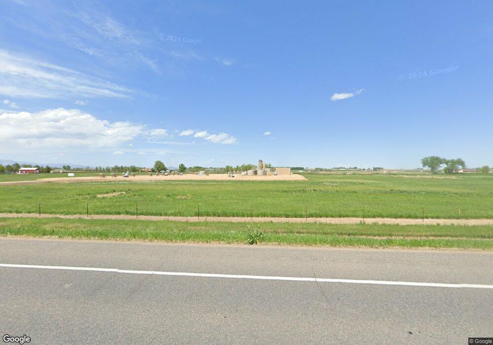
619 E State Highway 56 Berthoud, CO 80513
Estimated Value: $2,068,000 - $3,397,000
7
Beds
7
Baths
8,547
Sq Ft
$337/Sq Ft
Est. Value
About This Home
This home is located at 619 E State Highway 56, Berthoud, CO 80513 and is currently estimated at $2,878,899, approximately $336 per square foot. 619 E State Highway 56 is a home located in Larimer County with nearby schools including Ivy Stockwell Elementary School, Turner Middle School, and Berthoud High School.
Ownership History
Date
Name
Owned For
Owner Type
Purchase Details
Closed on
Feb 12, 2026
Sold by
Lead Holding Company Llc
Bought by
Z Golf Food & Beverage Services Llc
Current Estimated Value
Purchase Details
Closed on
Dec 6, 2019
Sold by
Ljb 2 Llc
Bought by
Lead Holding Company Llc
Purchase Details
Closed on
May 8, 2008
Sold by
Lasko Christie Yi
Bought by
Ljb2 Llc
Purchase Details
Closed on
Oct 12, 2007
Sold by
Sonneborn David
Bought by
Grp Loan Llc
Purchase Details
Closed on
Feb 27, 2006
Sold by
Earthwatch Foundation Inc
Bought by
Sonneborn David
Home Financials for this Owner
Home Financials are based on the most recent Mortgage that was taken out on this home.
Original Mortgage
$750,000
Interest Rate
7.85%
Mortgage Type
Balloon
Purchase Details
Closed on
Nov 24, 2004
Sold by
Bebo Lawrence L and Bebo Jacquelyn L
Bought by
Earthwatch Foundation Inc
Purchase Details
Closed on
Dec 20, 2002
Sold by
Bebo Lawrence L and Bebo Jacquelyn D
Bought by
Earthwatch Foundation Inc
Create a Home Valuation Report for This Property
The Home Valuation Report is an in-depth analysis detailing your home's value as well as a comparison with similar homes in the area
Home Values in the Area
Average Home Value in this Area
Purchase History
| Date | Buyer | Sale Price | Title Company |
|---|---|---|---|
| Z Golf Food & Beverage Services Llc | $3,770,900 | None Listed On Document | |
| Lead Holding Company Llc | $3,000,000 | First American | |
| Ljb2 Llc | -- | Fahtco | |
| Lasko Christie Yi | $850,000 | Fahtco | |
| Grp Loan Llc | -- | None Available | |
| Sonneborn David | $1,300,000 | Fahtco | |
| Earthwatch Foundation Inc | -- | -- | |
| Earthwatch Foundation Inc | -- | -- | |
| Earthwatch Foundation Inc | -- | -- | |
| Earthwatch Foundation Inc | -- | -- | |
| Earthwatch Foundation Inc | $942,107 | -- |
Source: Public Records
Mortgage History
| Date | Status | Borrower | Loan Amount |
|---|---|---|---|
| Previous Owner | Sonneborn David | $750,000 |
Source: Public Records
Tax History
| Year | Tax Paid | Tax Assessment Tax Assessment Total Assessment is a certain percentage of the fair market value that is determined by local assessors to be the total taxable value of land and additions on the property. | Land | Improvement |
|---|---|---|---|---|
| 2025 | $68,874 | $755,622 | $177,583 | $578,039 |
| 2024 | $68,088 | $746,189 | $122,425 | $623,764 |
| 2022 | $56,985 | $716,653 | $112,172 | $604,481 |
| 2021 | $56,985 | $594,624 | $54,583 | $540,041 |
| 2020 | $33,160 | $345,889 | $54,583 | $291,306 |
| 2019 | $32,216 | $345,889 | $54,583 | $291,306 |
| 2018 | $31,761 | $323,204 | $54,624 | $268,580 |
| 2017 | $28,009 | $323,204 | $54,624 | $268,580 |
| 2016 | $24,868 | $278,357 | $55,247 | $223,110 |
| 2014 | $25,357 | $272,560 | $55,250 | $217,310 |
Source: Public Records
Map
Nearby Homes
- 113 Dorothy Dr
- 107 Dorothy Dr
- 201 Dorothy Dr
- 110 Dorothy Dr
- 104 Dorothy Dr
- 101 Dorothy Dr
- 207 Dorothy Dr
- 116 Dorothy Dr
- 120 Rocking Chair Dr
- 200 Rocking Chair Dr
- 114 Rocking Chair Dr
- 108 Rocking Chair Dr
- 213 Dorothy Dr
- 206 Rocking Chair Dr
- 122 Dorothy Dr
- 225 Dorothy Dr
- 102 Rocking Chair Dr
- 212 Rocking Chair Dr
- 644 E Michigan Ave
- 219 Dorothy Dr
Your Personal Tour Guide
Ask me questions while you tour the home.