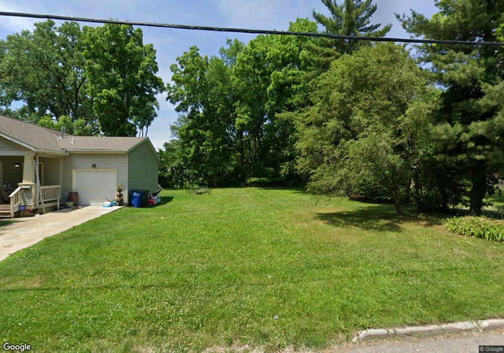
619 Elysian Ave Toledo, OH 43607
Scott Park NeighborhoodEstimated Value: $63,000 - $193,000
Studio
--
Bath
--
Sq Ft
5,619
Sq Ft Lot
About This Home
This home is located at 619 Elysian Ave, Toledo, OH 43607 and is currently estimated at $123,333. 619 Elysian Ave is a home located in Lucas County with nearby schools including Keyser Elementary School, Rogers High School, and Toledo Preparatory and Fitness Academy.
Ownership History
Date
Name
Owned For
Owner Type
Purchase Details
Closed on
Mar 27, 2014
Sold by
Maumee Valley Habitat For Humanity
Bought by
Tinsley Terin L
Current Estimated Value
Purchase Details
Closed on
Aug 18, 2009
Sold by
Friendship New Vision Inc
Bought by
Maumee Valley Habitat For Humanity
Purchase Details
Closed on
Dec 20, 2006
Sold by
Friendship New Vision Inc
Bought by
Friendship New Vision Inc
Create a Home Valuation Report for This Property
The Home Valuation Report is an in-depth analysis detailing your home's value as well as a comparison with similar homes in the area
Home Values in the Area
Average Home Value in this Area
Purchase History
| Date | Buyer | Sale Price | Title Company |
|---|---|---|---|
| Tinsley Terin L | $550 | None Available | |
| Maumee Valley Habitat For Humanity | -- | Attorney | |
| Friendship New Vision Inc | -- | Attorney |
Source: Public Records
Tax History
| Year | Tax Paid | Tax Assessment Tax Assessment Total Assessment is a certain percentage of the fair market value that is determined by local assessors to be the total taxable value of land and additions on the property. | Land | Improvement |
|---|---|---|---|---|
| 2025 | -- | $3,150 | $3,150 | -- |
| 2024 | $1,335 | $3,150 | $3,150 | -- |
| 2023 | $283 | $2,310 | $2,310 | $0 |
| 2022 | $286 | $2,310 | $2,310 | $0 |
| 2021 | $283 | $2,310 | $2,310 | $0 |
| 2020 | $313 | $2,135 | $2,135 | $0 |
| 2019 | $294 | $2,135 | $2,135 | $0 |
| 2018 | $296 | $2,135 | $2,135 | $0 |
| 2017 | $261 | $1,610 | $1,610 | $0 |
| 2016 | $617 | $4,600 | $4,600 | $0 |
| 2015 | $287 | $4,600 | $4,600 | $0 |
| 2014 | $104 | $1,610 | $1,610 | $0 |
| 2013 | $104 | $1,610 | $1,610 | $0 |
Source: Public Records
Map
Nearby Homes
- 638 Broer Ave
- 2925 Avondale Ave
- 834 Broer Ave
- 914 Turner Ave
- 712 Underwood Ave
- 508 Ascot Ave
- 820 MacKow Dr
- 336 Conrad Ave
- 1408 Roosevelt Ave
- 615 Cuthbert Rd
- 1011 Alldays Ave
- 1125 Secor Rd
- 710 N Byrne Rd
- 811 N University Ave
- 913 Coventry Ave
- 823 N Byrne Rd
- 1814 Alvin St
- 1732 Evansdale Ave
- 1901 Alvin St
- 1917 Alvin St
- 615 Elysian Ave
- 613 Elysian Ave
- 627 Elysian Ave
- 634 Elysian Ave
- 631 Elysian Ave
- 2830 Nebraska Ave
- 2840 Nebraska Ave
- 2834 Nebraska Ave
- 622 Elysian Ave
- 618 Elysian Ave
- 649 Elysian Ave
- 2848 Nebraska Ave
- 2846 Nebraska Ave
- 643 Elysian Ave
- 2812 Nebraska Ave
- 701 Elysian Ave
- 700 Turner Ave
- 2904 Nebraska Ave
- 708 Turner Ave
- 709 Elysian Ave
Your Personal Tour Guide
Ask me questions while you tour the home.