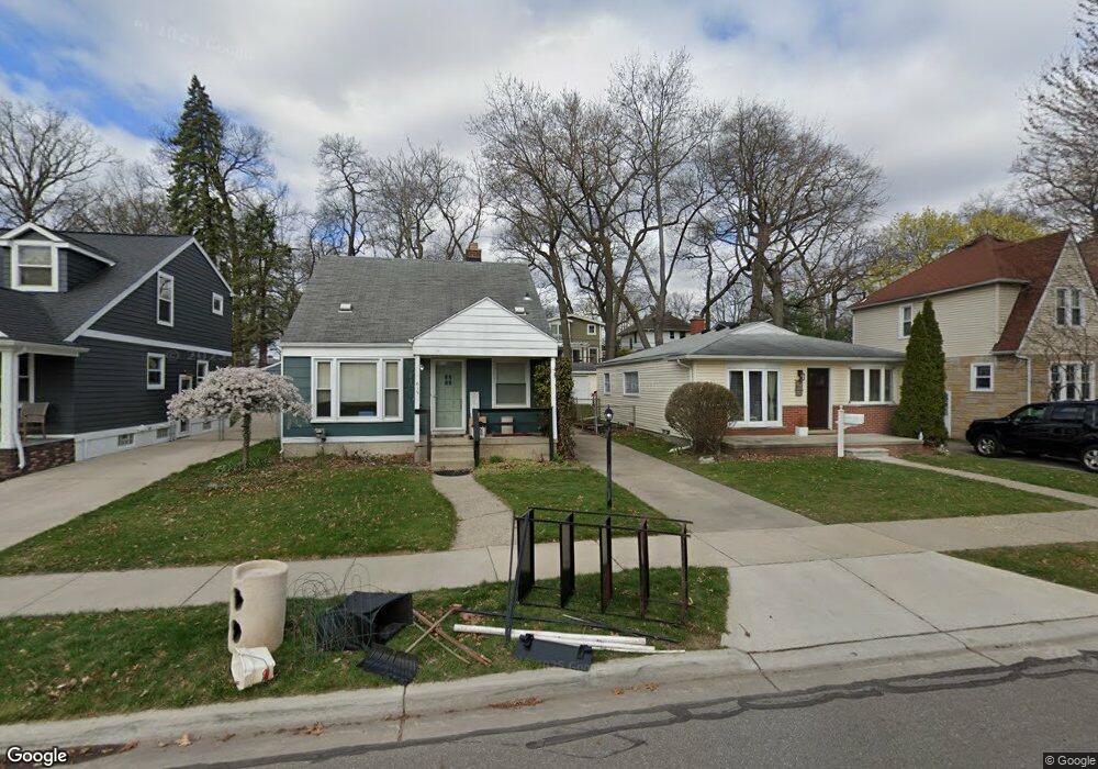
619 Fernwood Rd Royal Oak, MI 48067
Estimated Value: $242,000 - $282,445
3
Beds
1
Bath
1,062
Sq Ft
$241/Sq Ft
Est. Value
About This Home
This home is located at 619 Fernwood Rd, Royal Oak, MI 48067 and is currently estimated at $255,861, approximately $240 per square foot. 619 Fernwood Rd is a home located in Oakland County with nearby schools including Northwood Elementary School, Royal Oak Middle School, and Royal Oak High School.
Ownership History
Date
Name
Owned For
Owner Type
Purchase Details
Closed on
Jul 10, 2025
Sold by
619 Fernwood Llc
Bought by
Warwick Quinn and Warwick Amanda
Current Estimated Value
Home Financials for this Owner
Home Financials are based on the most recent Mortgage that was taken out on this home.
Original Mortgage
$228,000
Outstanding Balance
$227,534
Interest Rate
5.88%
Mortgage Type
New Conventional
Estimated Equity
$28,327
Purchase Details
Closed on
Apr 18, 2019
Sold by
Rowoldt Gary W
Bought by
619 Fernwood Llc
Purchase Details
Closed on
Mar 25, 2013
Sold by
Vansen Doris D
Bought by
Rowoldt Gary W
Create a Home Valuation Report for This Property
The Home Valuation Report is an in-depth analysis detailing your home's value as well as a comparison with similar homes in the area
Home Values in the Area
Average Home Value in this Area
Purchase History
| Date | Buyer | Sale Price | Title Company |
|---|---|---|---|
| Warwick Quinn | $240,000 | First American Title | |
| 619 Fernwood Llc | -- | None Available | |
| Rowoldt Gary W | -- | None Available |
Source: Public Records
Mortgage History
| Date | Status | Borrower | Loan Amount |
|---|---|---|---|
| Open | Warwick Quinn | $228,000 |
Source: Public Records
Tax History Compared to Growth
Tax History
| Year | Tax Paid | Tax Assessment Tax Assessment Total Assessment is a certain percentage of the fair market value that is determined by local assessors to be the total taxable value of land and additions on the property. | Land | Improvement |
|---|---|---|---|---|
| 2024 | $2,889 | $108,480 | $0 | $0 |
| 2022 | $3,151 | $96,390 | $0 | $0 |
| 2020 | $2,787 | $84,790 | $0 | $0 |
| 2018 | $3,151 | $72,070 | $0 | $0 |
| 2017 | $2,862 | $72,070 | $0 | $0 |
| 2015 | -- | $65,070 | $0 | $0 |
| 2014 | -- | $60,260 | $0 | $0 |
| 2011 | -- | $58,880 | $0 | $0 |
Source: Public Records
Map
Nearby Homes
- 821 Forestdale Rd
- 800 Lockwood Rd
- 820 Oakridge Ave
- 479 Cambridge Rd
- 934 Lockwood Rd
- 400 Josephine Ave
- 506 Hilldale Dr
- 1022 Maplegrove Ave
- 1320 Hartrick Ave
- 800 Cambridge Rd
- 300 Baker St
- 1103 Fernwood Rd
- 1051 N Sherman Dr Unit 19
- 686 Princeton Rd
- 828 Princeton Rd
- 713 W Farnum Ave
- 1027 W Eleven Mile Rd
- 1149 Larkmoor Blvd
- 1059 Columbia Rd
- 1185 Oxford Rd
- 701 Fernwood Rd
- 615 Fernwood Rd
- 609 Fernwood Rd
- 705 Fernwood Rd
- 605 Fernwood Rd
- 616 Forestdale Rd
- 612 Forestdale Rd
- 704 Forestdale Rd
- 700 Forestdale Rd
- 711 Fernwood Rd
- 604 Forestdale Rd
- 601 Fernwood Rd
- 708 Forestdale Rd
- 600 Forestdale Rd
- 801 Fernwood Rd
- 802 Forestdale Rd
- 703 Forestdale Rd
- 807 Fernwood Rd
- 605 Forestdale Rd
- 615 Forestdale Rd Unit Bldg-Unit