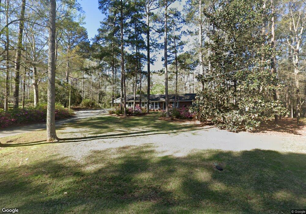
619 Ginger Cir Lagrange, GA 30240
Estimated Value: $228,000 - $303,000
3
Beds
2
Baths
2,318
Sq Ft
$112/Sq Ft
Est. Value
About This Home
This home is located at 619 Ginger Cir, Lagrange, GA 30240 and is currently estimated at $259,135, approximately $111 per square foot. 619 Ginger Cir is a home located in Troup County with nearby schools including Berta Weathersbee Elementary School, Long Cane Elementary School, and Whitesville Road Elementary School.
Ownership History
Date
Name
Owned For
Owner Type
Purchase Details
Closed on
Jun 28, 1984
Sold by
Baugh
Bought by
Wood Jack Randall
Current Estimated Value
Purchase Details
Closed on
Jul 24, 1980
Bought by
Baugh
Purchase Details
Closed on
Oct 12, 1971
Sold by
Heard
Purchase Details
Closed on
Jan 1, 1968
Bought by
Heard
Create a Home Valuation Report for This Property
The Home Valuation Report is an in-depth analysis detailing your home's value as well as a comparison with similar homes in the area
Purchase History
| Date | Buyer | Sale Price | Title Company |
|---|---|---|---|
| Wood Jack Randall | $65,000 | -- | |
| Baugh | -- | -- | |
| -- | $3,000 | -- | |
| Heard | -- | -- |
Source: Public Records
Tax History
| Year | Tax Paid | Tax Assessment Tax Assessment Total Assessment is a certain percentage of the fair market value that is determined by local assessors to be the total taxable value of land and additions on the property. | Land | Improvement |
|---|---|---|---|---|
| 2025 | $2,557 | $101,880 | $10,000 | $91,880 |
| 2024 | $2,248 | $90,252 | $10,000 | $80,252 |
| 2023 | $1,654 | $86,380 | $8,000 | $78,380 |
| 2022 | $2,059 | $81,500 | $8,000 | $73,500 |
| 2021 | $1,722 | $64,840 | $8,000 | $56,840 |
| 2020 | $1,722 | $64,840 | $8,000 | $56,840 |
| 2019 | $1,231 | $48,560 | $4,200 | $44,360 |
| 2018 | $1,283 | $44,540 | $4,200 | $40,340 |
| 2017 | $1,283 | $44,540 | $4,200 | $40,340 |
| 2016 | $1,251 | $43,463 | $4,200 | $39,263 |
| 2015 | $1,253 | $43,463 | $4,200 | $39,263 |
| 2014 | $1,193 | $41,396 | $4,200 | $37,196 |
| 2013 | -- | $43,330 | $4,200 | $39,130 |
Source: Public Records
Map
Nearby Homes
- 427 Fling Rd
- 402 Ginger Cir
- 245 Teaver Rd
- 808 S Fling Rd
- 8 Horace Carter Rd
- 53 Horace Carter Rd
- 0 Bradfield Dr Unit 10568803
- 112 Foxdale Dr
- 0 Glass Bridge Rd Unit 10679358
- 2239 Pegasus Pkwy
- 288 Bradfield Dr
- 98 Hearn Rd
- 22 Freeman Rd
- 640 Hudson Rd
- 210 Pinehaven Dr
- 3 Reed Dr
- 112 Brookwood Dr
- 117 Brookwood Dr
- 3009 Old West Point Rd
- 129 Angela East Dr
- 617 Ginger Cir
- 621 Ginger Cir
- 615 Ginger Cir
- 608 Ginger Cir
- 623 Ginger Cir
- 606 Ginger Cir
- 613 Ginger Cir
- 8 Cedarcrest Rd
- 20 Cedarcrest Rd
- 611 Ginger Cir
- 604 Ginger Cir
- 511 Connie Dr
- 38 Cedarcrest Rd
- 51 Sinclair Dr
- 513 Connie Dr
- 17 Cedarcrest Rd
- 507 Connie Dr
- 27 Cedarcrest Rd
- 37 Cedarcrest Rd
- 505 Connie Dr
Your Personal Tour Guide
Ask me questions while you tour the home.