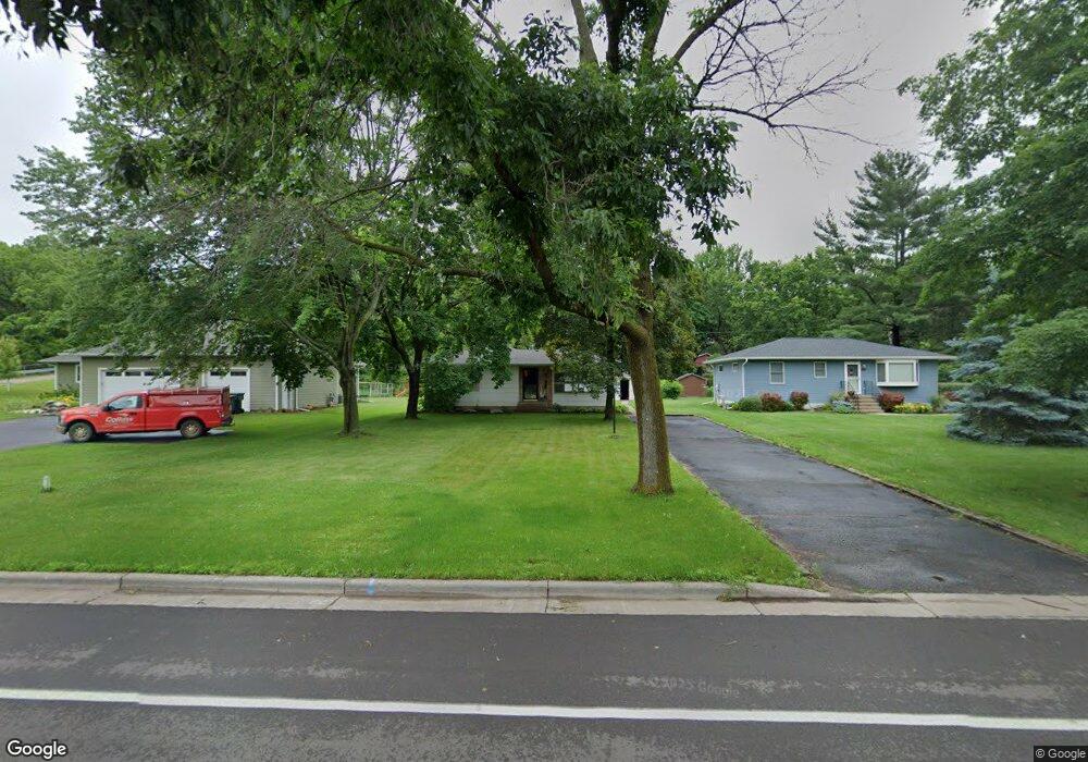
619 Laurel Ave Hudson, WI 54016
Estimated Value: $324,000 - $344,000
3
Beds
2
Baths
1,274
Sq Ft
$259/Sq Ft
Est. Value
About This Home
This home is located at 619 Laurel Ave, Hudson, WI 54016 and is currently estimated at $330,562, approximately $259 per square foot. 619 Laurel Ave is a home located in St. Croix County with nearby schools including E.P. Rock Elementary School, Hudson Middle School, and Hudson High School.
Ownership History
Date
Name
Owned For
Owner Type
Purchase Details
Closed on
Jul 8, 2016
Sold by
Snyder Ann
Bought by
Neumann Jon and Neumann Mary
Current Estimated Value
Home Financials for this Owner
Home Financials are based on the most recent Mortgage that was taken out on this home.
Original Mortgage
$195,336
Interest Rate
3.54%
Mortgage Type
FHA
Create a Home Valuation Report for This Property
The Home Valuation Report is an in-depth analysis detailing your home's value as well as a comparison with similar homes in the area
Home Values in the Area
Average Home Value in this Area
Purchase History
| Date | Buyer | Sale Price | Title Company |
|---|---|---|---|
| Neumann Jon | $199,000 | Minnesota Title |
Source: Public Records
Mortgage History
| Date | Status | Borrower | Loan Amount |
|---|---|---|---|
| Previous Owner | Neumann Jon | $195,336 |
Source: Public Records
Tax History
| Year | Tax Paid | Tax Assessment Tax Assessment Total Assessment is a certain percentage of the fair market value that is determined by local assessors to be the total taxable value of land and additions on the property. | Land | Improvement |
|---|---|---|---|---|
| 2025 | $3,993 | $321,100 | $122,700 | $198,400 |
| 2024 | $37 | $222,600 | $74,500 | $148,100 |
| 2023 | $3,525 | $222,600 | $74,500 | $148,100 |
| 2022 | $3,275 | $222,600 | $74,500 | $148,100 |
| 2021 | $3,373 | $222,600 | $74,500 | $148,100 |
| 2020 | $3,317 | $222,600 | $74,500 | $148,100 |
| 2019 | $3,137 | $169,300 | $60,700 | $108,600 |
| 2018 | $3,133 | $169,300 | $60,700 | $108,600 |
| 2017 | $2,981 | $169,300 | $60,700 | $108,600 |
| 2016 | $2,981 | $169,300 | $60,700 | $108,600 |
| 2015 | $2,794 | $169,300 | $60,700 | $108,600 |
| 2014 | $2,742 | $169,300 | $60,700 | $108,600 |
| 2013 | $2,844 | $169,300 | $60,700 | $108,600 |
Source: Public Records
Map
Nearby Homes
- 621 Laurel Ave
- 607 Laurel Ave
- 629 Laurel Ave
- 620 Kinnickinnic St
- 616 Kinnickinnic St
- 639 Laurel Ave
- 620 Laurel Ave
- 614 Laurel Ave
- 604 Laurel Ave
- 642 Laurel Ave
- 642 Kinnickinnic St
- 651 Laurel Ave
- 652 Laurel Ave
- 617 Kinnickinnic St
- 623 Kinnickinnic St
- 129 7th St
- 629 Kinnickinnic St
- 115 7th St S
- 635 Kinnickinnic St
- 641 Kinnickinnic St
Your Personal Tour Guide
Ask me questions while you tour the home.