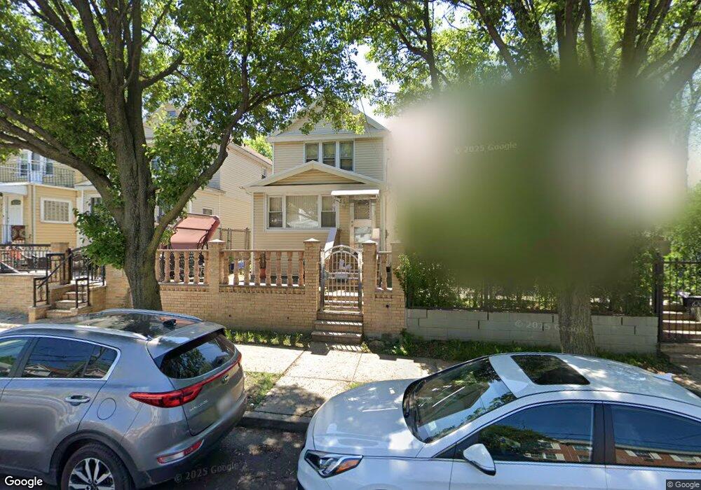
619 Leland Ave Bronx, NY 10473
Clason Point NeighborhoodEstimated Value: $514,088 - $681,000
--
Bed
--
Bath
1,450
Sq Ft
$427/Sq Ft
Est. Value
About This Home
This home is located at 619 Leland Ave, Bronx, NY 10473 and is currently estimated at $619,272, approximately $427 per square foot. 619 Leland Ave is a home located in Bronx County with nearby schools including P.S. 069 Journey Prep School - X069 and Holy Cross Elementary School.
Ownership History
Date
Name
Owned For
Owner Type
Purchase Details
Closed on
Aug 24, 2000
Sold by
Calderon Jose Israel and Calderon Virtudes A
Bought by
Everett Sandra
Current Estimated Value
Home Financials for this Owner
Home Financials are based on the most recent Mortgage that was taken out on this home.
Original Mortgage
$154,850
Interest Rate
7.81%
Create a Home Valuation Report for This Property
The Home Valuation Report is an in-depth analysis detailing your home's value as well as a comparison with similar homes in the area
Home Values in the Area
Average Home Value in this Area
Purchase History
| Date | Buyer | Sale Price | Title Company |
|---|---|---|---|
| Everett Sandra | $163,000 | -- |
Source: Public Records
Mortgage History
| Date | Status | Borrower | Loan Amount |
|---|---|---|---|
| Previous Owner | Everett Sandra | $154,850 |
Source: Public Records
Tax History Compared to Growth
Tax History
| Year | Tax Paid | Tax Assessment Tax Assessment Total Assessment is a certain percentage of the fair market value that is determined by local assessors to be the total taxable value of land and additions on the property. | Land | Improvement |
|---|---|---|---|---|
| 2025 | $4,665 | $25,505 | $5,092 | $20,413 |
| 2024 | $4,665 | $24,624 | $5,609 | $19,015 |
| 2023 | $4,565 | $23,879 | $5,199 | $18,680 |
| 2022 | $4,210 | $30,780 | $7,080 | $23,700 |
| 2021 | $4,170 | $32,340 | $7,080 | $25,260 |
| 2020 | $4,203 | $28,140 | $7,080 | $21,060 |
| 2019 | $3,997 | $24,660 | $7,080 | $17,580 |
| 2018 | $3,759 | $19,899 | $6,947 | $12,952 |
| 2017 | $3,527 | $18,774 | $6,329 | $12,445 |
| 2016 | $3,231 | $17,712 | $6,808 | $10,904 |
| 2015 | $1,916 | $17,712 | $6,865 | $10,847 |
| 2014 | $1,916 | $17,100 | $7,860 | $9,240 |
Source: Public Records
Map
Nearby Homes
- 643 Thieriot Ave
- 643 Underhill Ave
- 1822 Seward Ave
- 721 Thieriot Ave
- 1787 Randall Ave
- 533 Underhill Ave
- 517 Underhill Ave
- 532 Saint Lawrence Ave
- 511 Bolton Ave
- 625 Commonwealth Ave
- 1869 Lafayette Ave Unit 8B
- 508 Bolton Ave
- 1903 Lacombe Ave
- 500 Bolton Ave
- 1909 Lacombe Ave
- 718 Rosedale Ave
- 1904 Lacombe Ave
- 444 Underhill Ave
- 410 Thieriot Ave
- 428 Bolton Ave
- 617 Leland Ave
- 621 Leland Ave
- 615 Leland Ave
- 613 Leland Ave
- 611 Leland Ave
- 639 Leland Ave
- 639 Leland Ave Unit A
- 620 Leland Ave
- 616 Leland Ave
- 622 Leland Ave
- 614 Leland Ave
- 624 Leland Ave
- 634 Thieriot Ave
- 612 Leland Ave
- 634 Leland Ave
- 639A Leland Ave
- 636 Leland Ave
- 610 Leland Ave
- 638 Leland Ave
- 1845 Randall Ave