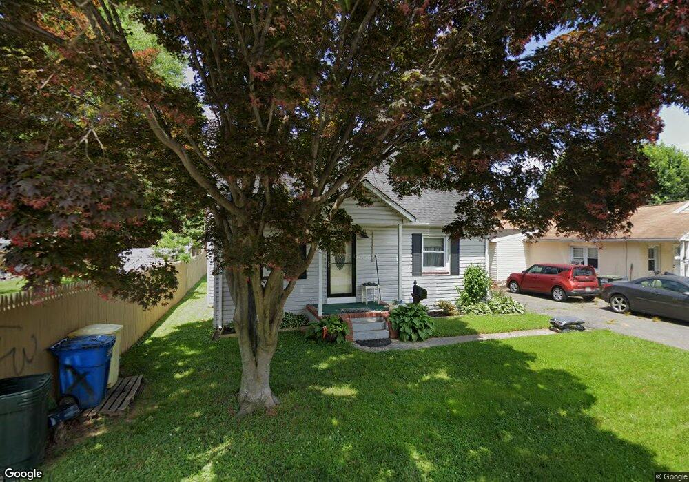
619 Linden Ln Havre de Grace, MD 21078
Estimated Value: $149,000 - $257,000
--
Bed
1
Bath
720
Sq Ft
$268/Sq Ft
Est. Value
About This Home
This home is located at 619 Linden Ln, Havre de Grace, MD 21078 and is currently estimated at $193,050, approximately $268 per square foot. 619 Linden Ln is a home located in Harford County with nearby schools including Havre de Grace Elementary School, Havre de Grace Middle School, and Havre de Grace High School.
Ownership History
Date
Name
Owned For
Owner Type
Purchase Details
Closed on
Apr 21, 2008
Sold by
Smith Carolyn J
Bought by
Smith Carolyn J
Current Estimated Value
Purchase Details
Closed on
Apr 9, 2008
Sold by
Smith Carolyn J
Bought by
Smith Carolyn J
Purchase Details
Closed on
Jun 27, 2006
Sold by
Pittam John and Pittam Wf
Bought by
Smith Carolyn J
Purchase Details
Closed on
Jun 26, 2006
Sold by
Pittam John and Pittam Wf
Bought by
Smith Carolyn J
Create a Home Valuation Report for This Property
The Home Valuation Report is an in-depth analysis detailing your home's value as well as a comparison with similar homes in the area
Home Values in the Area
Average Home Value in this Area
Purchase History
| Date | Buyer | Sale Price | Title Company |
|---|---|---|---|
| Smith Carolyn J | -- | -- | |
| Smith Carolyn J | -- | -- | |
| Smith Carolyn J | -- | -- | |
| Smith Carolyn J | -- | -- |
Source: Public Records
Tax History Compared to Growth
Tax History
| Year | Tax Paid | Tax Assessment Tax Assessment Total Assessment is a certain percentage of the fair market value that is determined by local assessors to be the total taxable value of land and additions on the property. | Land | Improvement |
|---|---|---|---|---|
| 2025 | $1,139 | $124,000 | $0 | $0 |
| 2024 | $1,101 | $119,500 | $63,000 | $56,500 |
| 2023 | $1,101 | $117,500 | $0 | $0 |
| 2022 | $551 | $115,500 | $0 | $0 |
| 2021 | $1,134 | $113,500 | $63,000 | $50,500 |
| 2020 | $762 | $112,733 | $0 | $0 |
| 2019 | $1,126 | $111,967 | $0 | $0 |
| 2018 | $1,120 | $111,200 | $73,000 | $38,200 |
| 2017 | $1,108 | $111,200 | $0 | $0 |
| 2016 | -- | $111,200 | $0 | $0 |
| 2015 | $1,167 | $112,300 | $0 | $0 |
| 2014 | $1,167 | $112,300 | $0 | $0 |
Source: Public Records
Map
Nearby Homes
- 819 Erie St
- 314 N Stokes St
- 834 Otsego St
- 515 Green St
- Sophia Plan at Bulle Rock - Villas
- Jordan II Plan at Bulle Rock - Villas
- Jordan III Plan at Bulle Rock - Villas
- Carson II Plan at Bulle Rock - Villas
- 810 Garfield Rd
- 204 Seneca Way Unit 12
- 202 Seneca Way Unit 38
- 556 Congress Ave
- 203B Pointe Way
- 218 S Union Ave
- 317 S Stokes St
- 313 S Washington St
- 562 Girard St
- 726 Girard St
- 1303 Ontario St
- 426 S Washington St
- 617 Linden Ln
- 622 Linden Ln
- 624 Linden Ln
- 616 Ontario St
- 618 Linden Ln
- 620 Linden Ln
- 626 N Stokes St
- 620 N Stokes St
- 634 Ontario St
- 632 N Stokes St
- 622 Ontario St
- 636 N Stokes St
- 638 N Stokes St
- 606 N Stokes St
- 628 N Stokes St
- 640 N Stokes St
- 630 Linden Ln
- 604 N Stokes St
- 641 Otsego St
- 668 Ontario St