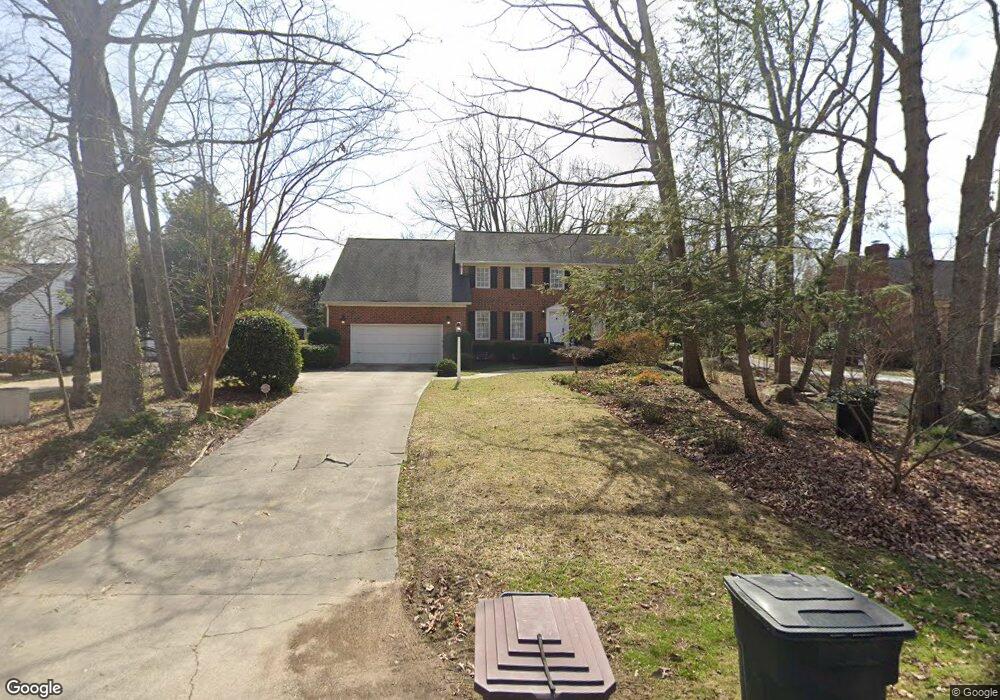
619 Long Ave Unit EX Roxboro, NC 27573
Estimated Value: $343,000 - $445,000
4
Beds
4
Baths
3,134
Sq Ft
$124/Sq Ft
Est. Value
About This Home
This home is located at 619 Long Ave Unit EX, Roxboro, NC 27573 and is currently estimated at $389,871, approximately $124 per square foot. 619 Long Ave Unit EX is a home located in Person County with nearby schools including Person High School, Roxboro Community School, and Roxboro Christian Academy.
Ownership History
Date
Name
Owned For
Owner Type
Purchase Details
Closed on
Jun 29, 2020
Sold by
Phillips Terry W and Phillips Jane P
Bought by
Adams Katherine L
Current Estimated Value
Home Financials for this Owner
Home Financials are based on the most recent Mortgage that was taken out on this home.
Original Mortgage
$280,000
Outstanding Balance
$248,746
Interest Rate
3.2%
Mortgage Type
New Conventional
Estimated Equity
$141,125
Purchase Details
Closed on
Apr 22, 2014
Sold by
Phillips Terry W and Phillips Jane P
Bought by
The Phillips Living Trust
Create a Home Valuation Report for This Property
The Home Valuation Report is an in-depth analysis detailing your home's value as well as a comparison with similar homes in the area
Purchase History
| Date | Buyer | Sale Price | Title Company |
|---|---|---|---|
| Adams Katherine L | $292,000 | None Available | |
| The Phillips Living Trust | -- | None Available |
Source: Public Records
Mortgage History
| Date | Status | Borrower | Loan Amount |
|---|---|---|---|
| Open | Adams Katherine L | $280,000 |
Source: Public Records
Tax History
| Year | Tax Paid | Tax Assessment Tax Assessment Total Assessment is a certain percentage of the fair market value that is determined by local assessors to be the total taxable value of land and additions on the property. | Land | Improvement |
|---|---|---|---|---|
| 2025 | $2,304 | $342,976 | $0 | $0 |
| 2024 | $2,156 | $278,286 | $0 | $0 |
| 2023 | $2,156 | $278,286 | $0 | $0 |
| 2022 | $2,149 | $278,286 | $0 | $0 |
| 2021 | $2,086 | $278,286 | $0 | $0 |
| 2020 | $1,891 | $252,133 | $0 | $0 |
| 2019 | $1,916 | $252,133 | $0 | $0 |
| 2018 | $1,796 | $252,133 | $0 | $0 |
| 2017 | $1,771 | $252,133 | $0 | $0 |
| 2016 | $1,771 | $252,133 | $0 | $0 |
| 2015 | $1,771 | $252,133 | $0 | $0 |
| 2014 | $1,771 | $252,133 | $0 | $0 |
Source: Public Records
Map
Nearby Homes
- 209 Reade Dr
- 70 Younger Rd
- 515 Reams Ave
- 420 Reams Ave
- 2 Semora Rd
- 508 Jones St
- 1.5 Acres Burlington Rd
- 167 Payton Place
- 310 Wesleyan Heights Rd
- 183 Payton Place
- 103 Payton Place
- 119 Payton Place
- 168 Payton Place
- 199 Payton Place
- 200 Payton Place
- 151 Payton Place
- 184 Payton Place
- 531 Booth St
- 382 Wimbledon Dr
- 213 Hill St
Your Personal Tour Guide
Ask me questions while you tour the home.