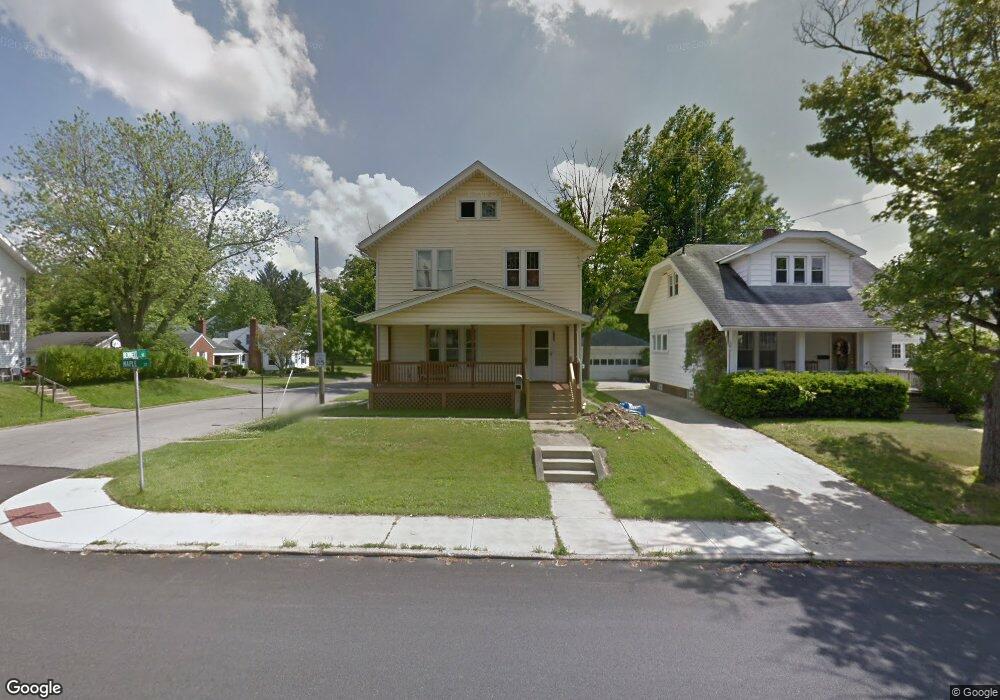
619 Maple St Mansfield, OH 44906
Estimated Value: $139,621 - $160,000
3
Beds
2
Baths
1,572
Sq Ft
$96/Sq Ft
Est. Value
About This Home
This home is located at 619 Maple St, Mansfield, OH 44906 and is currently estimated at $150,405, approximately $95 per square foot. 619 Maple St is a home located in Richland County with nearby schools including Goal Digital Academy, Discovery School, and St. Peter's Junior High / High School.
Create a Home Valuation Report for This Property
The Home Valuation Report is an in-depth analysis detailing your home's value as well as a comparison with similar homes in the area
Home Values in the Area
Average Home Value in this Area
Tax History
| Year | Tax Paid | Tax Assessment Tax Assessment Total Assessment is a certain percentage of the fair market value that is determined by local assessors to be the total taxable value of land and additions on the property. | Land | Improvement |
|---|---|---|---|---|
| 2024 | $1,084 | $34,070 | $2,380 | $31,690 |
| 2023 | $1,136 | $34,070 | $2,380 | $31,690 |
| 2022 | $1,352 | $24,190 | $2,040 | $22,150 |
| 2021 | $1,361 | $24,190 | $2,040 | $22,150 |
| 2020 | $1,392 | $24,190 | $2,040 | $22,150 |
| 2019 | $1,542 | $24,190 | $2,040 | $22,150 |
| 2018 | $1,521 | $24,190 | $2,040 | $22,150 |
| 2017 | $1,489 | $24,190 | $2,040 | $22,150 |
| 2016 | $1,498 | $23,730 | $2,820 | $20,910 |
| 2015 | $1,498 | $23,730 | $2,820 | $20,910 |
| 2014 | $1,412 | $23,730 | $2,820 | $20,910 |
| 2012 | $538 | $23,720 | $2,960 | $20,760 |
Source: Public Records
Map
Nearby Homes
- 189 Westwood Ave
- 190 Dawson Ave
- 116 Stewart Ave S
- 108 Stewart Ave S
- 169 Euclid Ave
- 126 Dawson Ave
- 455 Marion Ave
- 71 Dawson Ave
- 31 Parkwood Blvd
- 679 Coleman Rd
- 143 Fairlawn Ave
- 135 Fairlawn Ave
- 129 Fairlawn Ave
- 686 Barnard Ave
- 616 Cline Ave
- 30 Douglas Ave
- 51 Lind Ave
- 183 Carpenter Rd
- 519 Heineman Blvd
- 458 W West Dickson Ave
Your Personal Tour Guide
Ask me questions while you tour the home.