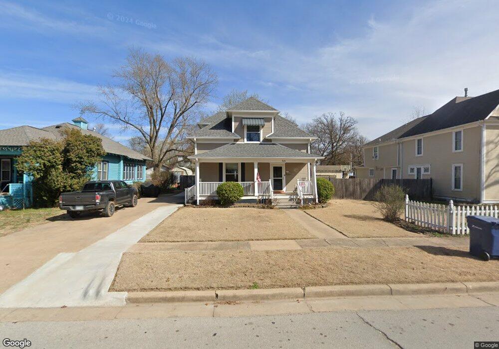
619 N Wright St Siloam Springs, AR 72761
Estimated Value: $254,000 - $283,000
--
Bed
1
Bath
1,700
Sq Ft
$156/Sq Ft
Est. Value
About This Home
This home is located at 619 N Wright St, Siloam Springs, AR 72761 and is currently estimated at $265,508, approximately $156 per square foot. 619 N Wright St is a home located in Benton County with nearby schools including Northside Elementary School, Delbert Pete & Pat Allen Elementary School, and Southside Elementary School.
Ownership History
Date
Name
Owned For
Owner Type
Purchase Details
Closed on
Aug 1, 2019
Sold by
Fields David C and Fields Jennifer Lynn
Bought by
Fields David C and Fields Jennifer Lynn
Current Estimated Value
Purchase Details
Closed on
Aug 24, 2004
Bought by
Fields
Purchase Details
Closed on
Apr 9, 2004
Bought by
Vachon Tr
Purchase Details
Closed on
Jul 3, 2000
Bought by
Vachon
Purchase Details
Closed on
Feb 18, 1997
Bought by
Knoner
Purchase Details
Closed on
Nov 15, 1996
Bought by
Rediske
Purchase Details
Closed on
Aug 22, 1996
Bought by
Rediske
Create a Home Valuation Report for This Property
The Home Valuation Report is an in-depth analysis detailing your home's value as well as a comparison with similar homes in the area
Home Values in the Area
Average Home Value in this Area
Purchase History
| Date | Buyer | Sale Price | Title Company |
|---|---|---|---|
| Fields David C | -- | None Available | |
| Fields | $123,000 | -- | |
| Vachon Tr | -- | -- | |
| Vachon | $78,000 | -- | |
| Knoner | $48,000 | -- | |
| Rediske | -- | -- | |
| Rediske | $31,000 | -- |
Source: Public Records
Tax History Compared to Growth
Tax History
| Year | Tax Paid | Tax Assessment Tax Assessment Total Assessment is a certain percentage of the fair market value that is determined by local assessors to be the total taxable value of land and additions on the property. | Land | Improvement |
|---|---|---|---|---|
| 2025 | $1,332 | $38,203 | $7,400 | $30,803 |
| 2024 | $1,305 | $38,203 | $7,400 | $30,803 |
| 2023 | $1,243 | $28,260 | $5,600 | $22,660 |
| 2022 | $813 | $28,260 | $5,600 | $22,660 |
| 2021 | $756 | $28,260 | $5,600 | $22,660 |
| 2020 | $706 | $19,260 | $5,600 | $13,660 |
| 2019 | $664 | $19,260 | $5,600 | $13,660 |
| 2018 | $648 | $19,260 | $5,600 | $13,660 |
| 2017 | $565 | $19,260 | $5,600 | $13,660 |
| 2016 | $565 | $19,260 | $5,600 | $13,660 |
| 2015 | $833 | $14,460 | $1,600 | $12,860 |
| 2014 | $483 | $14,460 | $1,600 | $12,860 |
Source: Public Records
Map
Nearby Homes
- 605 N Wright St
- 517 N Wright St
- 716 N Mount Olive St
- 503 N Wright St
- 411 N Maple St
- 414 N Maxwell St
- 111 E Helena St
- 0000 N Elm St
- TBD South N Elm St
- 517 N Madison St
- 210 E Ashley St
- 730 N Walnut Ct
- 402 Greenwood
- 0 Tbd St Andrews
- 403 E University St
- 506 E Ashley St
- 607 Amanda Dr
- 401 Glenwood Place
- 606 Gail Dr
- 114 S College St
- 623 N Wright St
- 615 N Wright St
- 703 N Wright St
- 606 N Mount Olive St
- 610 N Mount Olive St
- 611 N Wright St
- 602 N Mount Olive St
- 620 N Wright St
- 624 N Wright St
- 201 W Elgin St
- 700 N Wright St
- 702 N Mount Olive St
- 702 N Mount Olive St
- 709 N Wright St
- 610 N Wright St
- 524 N Mount Olive St
- 207 W Franklin St
- 604 N Wright St
- 207 W Cornell St
- 625 N College St