Estimated Value: $149,000 - $169,000
--
Bed
2
Baths
1,952
Sq Ft
$82/Sq Ft
Est. Value
About This Home
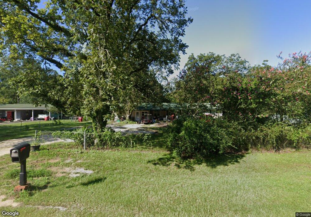
This home is located at 619 Radio Station Rd, Alma, GA 31510 and is currently estimated at $159,816, approximately $81 per square foot. 619 Radio Station Rd is a home located in Bacon County with nearby schools including Bacon County Primary School, Bacon County Elementary School, and Bacon County Middle School.
Ownership History
Date
Name
Owned For
Owner Type
Purchase Details
Closed on
Aug 15, 2013
Sold by
Us Bank National Associati
Bought by
Tanner Lisa G
Current Estimated Value
Purchase Details
Closed on
Aug 1, 2013
Sold by
Lewis Thomas J
Bought by
U S Bank National Ass'N As Trustee
Purchase Details
Closed on
Apr 2, 2013
Sold by
Lewis Thomas J
Bought by
Us Bank National Association T and Tbw Mtg Backed Trust
Purchase Details
Closed on
Apr 9, 1996
Sold by
Stephenson Deborah
Bought by
Lewis Thomas J And
Create a Home Valuation Report for This Property
The Home Valuation Report is an in-depth analysis detailing your home's value as well as a comparison with similar homes in the area
Home Values in the Area
Average Home Value in this Area
Purchase History
| Date | Buyer | Sale Price | Title Company |
|---|---|---|---|
| Tanner Lisa G | $25,299 | -- | |
| U S Bank National Ass'N As Trustee | -- | -- | |
| Us Bank National Association T | $42,500 | -- | |
| Lewis Thomas J And | -- | -- |
Source: Public Records
Tax History Compared to Growth
Tax History
| Year | Tax Paid | Tax Assessment Tax Assessment Total Assessment is a certain percentage of the fair market value that is determined by local assessors to be the total taxable value of land and additions on the property. | Land | Improvement |
|---|---|---|---|---|
| 2024 | $1,193 | $47,720 | $3,440 | $44,280 |
| 2023 | $1,192 | $43,760 | $3,240 | $40,520 |
| 2022 | $827 | $30,360 | $3,240 | $27,120 |
| 2021 | $772 | $28,320 | $3,240 | $25,080 |
| 2020 | $731 | $25,574 | $2,727 | $22,847 |
| 2019 | $733 | $25,574 | $2,727 | $22,847 |
| 2018 | $711 | $24,760 | $2,727 | $22,033 |
| 2017 | $711 | $24,760 | $2,727 | $22,033 |
| 2016 | $711 | $24,760 | $2,727 | $22,033 |
| 2015 | $702 | $24,484 | $2,727 | $21,756 |
| 2014 | $293 | $24,484 | $2,727 | $21,756 |
| 2013 | $293 | $17,322 | $1,783 | $15,538 |
Source: Public Records
Map
Nearby Homes
- 301 Taylor Rd
- 403 S Ware St
- 122 Grace Loop Unit 1
- 118 Grace Loop Unit 1
- 117 Grace Loop Unit 1
- 9TH E 417
- 314 W 16th St
- 1348 U S 1
- 0 E 6th St Unit 114222
- 113 Brite Blue Dr
- 166 Grace Loop Unit 1
- 907 N Pierce St
- 0 Oriole Rd Unit 160930
- 0 Oriole Rd Unit 23852171
- 0 Oriole Rd Unit 1654653
- 0 Oriole Rd Unit 10543585
- 401 Lee St
- 245 Starling Rd
- 118 Morris Dr
- 1109 W 4th Street Extension
- 623 Radio Station Rd
- 613 Radio Station Rd
- 607 Radio Station Rd
- 603 Radio Station Rd
- 507 Townsend Ln
- 629 Radio Station Rd
- 511 Radio Station Rd
- 0 Townsend Ln
- 636 Radio Station Rd
- 310 Crosby Rd
- 637 Radio Station Rd
- 505 Townsend Ln
- 510 Radio Station Rd
- 308 Crosby Rd
- 704 Townsend Ln
- 506 Townsend Ln
- 706 Townsend Ln
- 309 Crosby Rd
- 507 Radio Station Rd
- 708 Townsend Ln