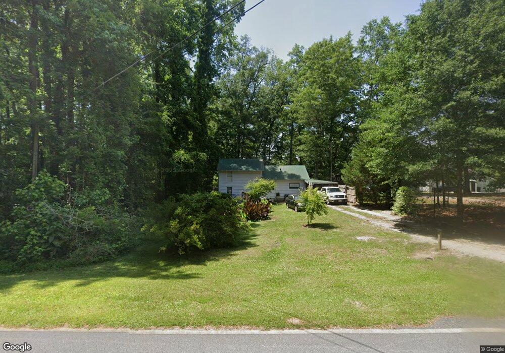
619 Ragsdale Rd Sharpsburg, GA 30277
Estimated Value: $160,000 - $296,000
2
Beds
1
Bath
1,220
Sq Ft
$192/Sq Ft
Est. Value
About This Home
This home is located at 619 Ragsdale Rd, Sharpsburg, GA 30277 and is currently estimated at $233,658, approximately $191 per square foot. 619 Ragsdale Rd is a home with nearby schools including Poplar Road Elementary School, East Coweta Middle School, and East Coweta High School.
Ownership History
Date
Name
Owned For
Owner Type
Purchase Details
Closed on
May 2, 2016
Sold by
Odom Katie Jo
Bought by
Reets Rental Properties Llc
Current Estimated Value
Purchase Details
Closed on
Mar 9, 2015
Sold by
Odom Harry Banta Estate
Bought by
Odom Katie Jo
Purchase Details
Closed on
Dec 20, 2014
Sold by
Odom Harry B Estate
Bought by
Odom Katie Jo
Purchase Details
Closed on
Sep 30, 1972
Bought by
Odom Harry B
Create a Home Valuation Report for This Property
The Home Valuation Report is an in-depth analysis detailing your home's value as well as a comparison with similar homes in the area
Home Values in the Area
Average Home Value in this Area
Purchase History
| Date | Buyer | Sale Price | Title Company |
|---|---|---|---|
| Reets Rental Properties Llc | $55,000 | -- | |
| Odom Katie Jo | -- | -- | |
| Odom Katie Jo | -- | -- | |
| Odom Harry B | $10,500 | -- |
Source: Public Records
Tax History Compared to Growth
Tax History
| Year | Tax Paid | Tax Assessment Tax Assessment Total Assessment is a certain percentage of the fair market value that is determined by local assessors to be the total taxable value of land and additions on the property. | Land | Improvement |
|---|---|---|---|---|
| 2025 | $1,285 | $54,371 | $18,000 | $36,371 |
| 2024 | $1,206 | $51,952 | $18,000 | $33,952 |
| 2023 | $1,206 | $59,858 | $18,000 | $41,858 |
| 2022 | $1,008 | $40,920 | $14,000 | $26,920 |
| 2021 | $978 | $37,157 | $14,000 | $23,157 |
| 2020 | $985 | $37,157 | $14,000 | $23,157 |
| 2019 | $724 | $24,739 | $6,000 | $18,739 |
| 2018 | $725 | $24,739 | $6,000 | $18,739 |
| 2017 | $598 | $20,414 | $6,000 | $14,414 |
| 2016 | $591 | $20,414 | $6,000 | $14,414 |
| 2015 | $581 | $20,414 | $6,000 | $14,414 |
| 2014 | $577 | $20,414 | $6,000 | $14,414 |
Source: Public Records
Map
Nearby Homes
- 165 Durham Estates Dr
- 0 Cannon Rd Unit 7627017
- 0 Cannon Rd Unit 10566028
- 49 Durham Estates Dr
- 65 Oakhurst Trail
- 69 Oakhurst Trail
- 565 Timberbrook Dr
- 4083 Highway 54
- 46 Lullwater Ct
- 465 Little Rd
- 20 Water Oak Dr
- 2812 Highway 16 E
- 0 Johnson Rd Unit LOT 4 10583889
- 0 Johnson Rd Unit LOT 3 10583885
- 143 Linchwood Dr
- 135 Graceton Farms Dr
- 0 Sid Hunter Rd Unit LOT 1
- 0 Sid Hunter Rd Unit LOT 2 10583878
- 242 Township Dr
- 106 Graceton Farms Dr
- 641 Ragsdale Rd
- 615 Ragsdale Rd
- 605 Ragsdale Rd
- 655 Ragsdale Rd
- 6 Peachtree Dr
- 669 Ragsdale Rd
- 669 Ragsdale Rd
- 679 Ragsdale Rd
- 30 Peachtree Dr
- 634 Ragsdale Rd
- 642 Ragsdale Rd
- 685 Ragsdale Rd
- 42 Peachtree Dr
- 695 Ragsdale Rd
- 563 Ragsdale Rd
- 48 Peachtree Dr
- 54 Peachtree Dr
- 715 Ragsdale Rd
- 541 Ragsdale Rd
- 721 Ragsdale Rd