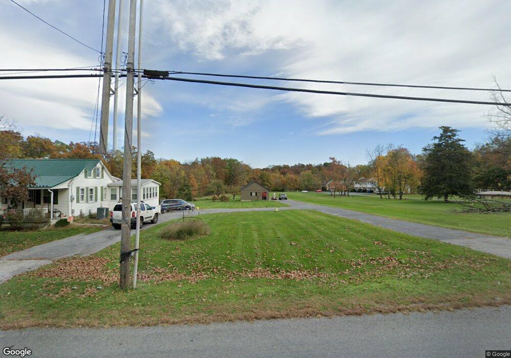
619 Range End Rd Dillsburg, PA 17019
Estimated Value: $167,000 - $238,000
2
Beds
2
Baths
896
Sq Ft
$228/Sq Ft
Est. Value
About This Home
This home is located at 619 Range End Rd, Dillsburg, PA 17019 and is currently estimated at $204,176, approximately $227 per square foot. 619 Range End Rd is a home located in York County with nearby schools including Northern Middle School and Northern High School.
Ownership History
Date
Name
Owned For
Owner Type
Purchase Details
Closed on
Sep 23, 2008
Sold by
Pifer Hattie I and Pifer Dale
Bought by
Adams James L and Adams Teresa M
Current Estimated Value
Home Financials for this Owner
Home Financials are based on the most recent Mortgage that was taken out on this home.
Original Mortgage
$76,800
Outstanding Balance
$51,205
Interest Rate
6.57%
Mortgage Type
Purchase Money Mortgage
Estimated Equity
$152,971
Purchase Details
Closed on
Oct 27, 1950
Bought by
Pifer Hattie I
Create a Home Valuation Report for This Property
The Home Valuation Report is an in-depth analysis detailing your home's value as well as a comparison with similar homes in the area
Home Values in the Area
Average Home Value in this Area
Purchase History
| Date | Buyer | Sale Price | Title Company |
|---|---|---|---|
| Adams James L | $86,500 | Tias Title | |
| Pifer Hattie I | $4,600 | -- |
Source: Public Records
Mortgage History
| Date | Status | Borrower | Loan Amount |
|---|---|---|---|
| Open | Adams James L | $76,800 |
Source: Public Records
Tax History Compared to Growth
Tax History
| Year | Tax Paid | Tax Assessment Tax Assessment Total Assessment is a certain percentage of the fair market value that is determined by local assessors to be the total taxable value of land and additions on the property. | Land | Improvement |
|---|---|---|---|---|
| 2025 | $2,854 | $101,110 | $42,470 | $58,640 |
| 2024 | $2,824 | $101,110 | $42,470 | $58,640 |
| 2023 | $2,709 | $101,110 | $42,470 | $58,640 |
| 2022 | $2,653 | $101,110 | $42,470 | $58,640 |
| 2021 | $2,482 | $101,110 | $42,470 | $58,640 |
| 2020 | $2,424 | $101,110 | $42,470 | $58,640 |
| 2019 | $2,364 | $101,110 | $42,470 | $58,640 |
| 2018 | $2,314 | $101,110 | $42,470 | $58,640 |
| 2017 | $2,314 | $101,110 | $42,470 | $58,640 |
| 2016 | $0 | $101,110 | $42,470 | $58,640 |
| 2015 | -- | $101,110 | $42,470 | $58,640 |
| 2014 | -- | $101,110 | $42,470 | $58,640 |
Source: Public Records
Map
Nearby Homes
- 104 Furman Rd
- 771 Range End Rd
- 0 Range End Rd Unit PAYK2075290
- 111 Saint George Dr
- lot 1 Baltimore St
- 45 Chain Saw Rd
- 17 Homewood St
- 233 S Baltimore St
- 0 Church St Unit PAYK2054218
- 8 Dove Ct
- 121 S Baltimore St
- 0 Harrisburg St
- 140 Quail Dr
- Whitehall II Plan at Stony Run Single Family Homes
- York II Garage Plan at Stony Run Townhomes
- Carnegie II Plan at Stony Run Single Family Homes
- Cranberry II Plan at Stony Run Single Family Homes
- Edgewood II Plan at Stony Run Single Family Homes
- 15 Wargo Ln
- 51 Old York Rd
- 615 Range End Rd
- 621 Range End Rd
- 621 Range End Rd
- 621 Range End Rd
- 621 Range End Rd
- 621 Range End Rd
- 621 Range End Rd
- 621 Range End Rd
- 621 Range End Rd
- 621 Range End Rd
- 621 Range End Rd Unit 3
- 621 Range End Rd Unit 2
- 621 Range End Rd
- 623 Range End Rd
- 613 Range End Rd
- 625 Range End Rd
- 609 Range End Rd
- 612 Range End Rd Unit 92
- 612 Range End Rd Unit 4
- 612 Range End Rd Unit 8