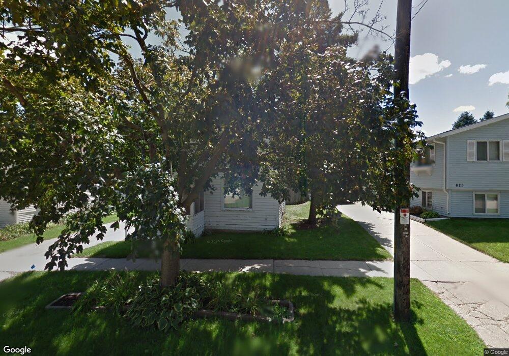
619 Reid St de Pere, WI 54115
Estimated Value: $218,000 - $239,000
3
Beds
1
Bath
1,268
Sq Ft
$179/Sq Ft
Est. Value
About This Home
This home is located at 619 Reid St, de Pere, WI 54115 and is currently estimated at $227,276, approximately $179 per square foot. 619 Reid St is a home located in Brown County with nearby schools including Westwood Elementary School, West De Pere Middle School, and West De Pere High School.
Create a Home Valuation Report for This Property
The Home Valuation Report is an in-depth analysis detailing your home's value as well as a comparison with similar homes in the area
Home Values in the Area
Average Home Value in this Area
Tax History Compared to Growth
Tax History
| Year | Tax Paid | Tax Assessment Tax Assessment Total Assessment is a certain percentage of the fair market value that is determined by local assessors to be the total taxable value of land and additions on the property. | Land | Improvement |
|---|---|---|---|---|
| 2024 | $2,880 | $188,100 | $24,300 | $163,800 |
| 2023 | $2,265 | $159,100 | $24,300 | $134,800 |
| 2022 | $2,280 | $143,200 | $24,300 | $118,900 |
| 2021 | $2,211 | $128,400 | $20,200 | $108,200 |
| 2020 | $2,305 | $122,000 | $20,200 | $101,800 |
| 2019 | $1,988 | $107,900 | $20,200 | $87,700 |
| 2018 | $1,951 | $101,800 | $20,200 | $81,600 |
| 2017 | $1,787 | $89,900 | $20,200 | $69,700 |
| 2016 | $1,783 | $89,900 | $20,200 | $69,700 |
| 2015 | $1,895 | $87,300 | $20,300 | $67,000 |
| 2014 | $1,822 | $87,300 | $20,300 | $67,000 |
| 2013 | $1,822 | $87,300 | $20,300 | $67,000 |
Source: Public Records
Map
Nearby Homes
- 555 Main Ave Unit 104
- 555 Main Ave Unit 111
- 555 Main Ave Unit 113
- 555 Main Ave Unit 110
- 555 Main Ave Unit 206
- 657 Reid St
- 634 Grant St
- 721 Cedar St
- 978 Saint Anthony Dr Unit 980
- 978 Saint Anthony Dr Unit 2
- 1115 Twilight Dr Unit 1117
- 717 4th St
- 806 4th St
- 200 William St Unit 402
- 822 Westwood Dr
- 1611 N Honeysuckle Cir
- 305 Battery Ave
- 416 Lansdowne St
- 337 Battery Ave
- 385 Battery Ave