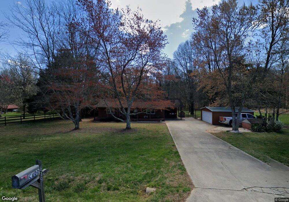
619 Richie Rd Mocksville, NC 27028
Estimated Value: $206,000 - $404,000
3
Beds
2
Baths
1,430
Sq Ft
$200/Sq Ft
Est. Value
About This Home
This home is located at 619 Richie Rd, Mocksville, NC 27028 and is currently estimated at $285,808, approximately $199 per square foot. 619 Richie Rd is a home located in Davie County with nearby schools including William R. Davie Elementary School, North Davie Middle School, and Davie County High School.
Ownership History
Date
Name
Owned For
Owner Type
Purchase Details
Closed on
Sep 28, 2010
Sold by
Federal National Mortgage Association
Bought by
Cudd Michael Bryan
Current Estimated Value
Purchase Details
Closed on
Sep 16, 2010
Sold by
Federal National Mortgage Association
Bought by
Cudd Michael Bryan
Purchase Details
Closed on
Feb 2, 2010
Sold by
Shrewsbury Darrell C and Shrewsbury Kimberly A
Bought by
Fannie Mae
Purchase Details
Closed on
Apr 2, 2007
Sold by
Shrewsbury Darrell C
Bought by
Shrewsbury Kimberly A
Purchase Details
Closed on
Apr 1, 1990
Create a Home Valuation Report for This Property
The Home Valuation Report is an in-depth analysis detailing your home's value as well as a comparison with similar homes in the area
Home Values in the Area
Average Home Value in this Area
Purchase History
| Date | Buyer | Sale Price | Title Company |
|---|---|---|---|
| Cudd Michael Bryan | -- | -- | |
| Cudd Michael Bryan | -- | -- | |
| Fannie Mae | $117,627 | None Available | |
| Shrewsbury Kimberly A | -- | None Avilebel | |
| -- | $58,000 | -- |
Source: Public Records
Tax History Compared to Growth
Tax History
| Year | Tax Paid | Tax Assessment Tax Assessment Total Assessment is a certain percentage of the fair market value that is determined by local assessors to be the total taxable value of land and additions on the property. | Land | Improvement |
|---|---|---|---|---|
| 2025 | $1,185 | $172,150 | $30,770 | $141,380 |
| 2024 | $966 | $124,960 | $28,340 | $96,620 |
| 2023 | $966 | $124,960 | $28,340 | $96,620 |
| 2022 | $966 | $124,960 | $28,340 | $96,620 |
| 2021 | $966 | $124,960 | $28,340 | $96,620 |
| 2020 | $940 | $120,760 | $28,340 | $92,420 |
| 2019 | $940 | $120,760 | $28,340 | $92,420 |
| 2018 | $940 | $120,760 | $28,340 | $92,420 |
| 2017 | $927 | $120,760 | $0 | $0 |
| 2016 | $878 | $114,280 | $0 | $0 |
| 2015 | $878 | $114,280 | $0 | $0 |
| 2014 | $754 | $114,280 | $0 | $0 |
| 2013 | -- | $114,280 | $0 | $0 |
Source: Public Records
Map
Nearby Homes
- 5304 U S Highway 601 N
- Knollwood Plan at Providence Place
- Aster Plan at Providence Place
- Ledford Plan at Providence Place
- Cotton Grove Plan at Providence Place
- Abbott Plan at Providence Place
- Southmont Plan at Providence Place
- 153 Summerlyn Dr
- 108 Arrendal Ct
- 118 Arrendal Ct
- 550 Danner Rd
- 00 Angell Rd
- 228 Meadowlark Ln
- 161 Murphy Meadow Rd
- 165 Murphy Meadow Rd
- 167 Murphy Meadow Rd
- 168 Murphy Rd
- 171 Murphy Meadow Rd
- 172 Murphy Meadow Rd
- 114 Danner Rd