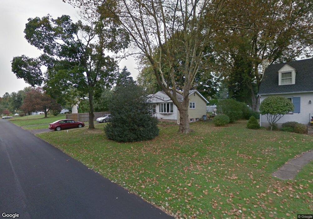
619 S Chubb Dr Doylestown, PA 18901
Estimated Value: $469,000 - $554,000
2
Beds
2
Baths
1,120
Sq Ft
$449/Sq Ft
Est. Value
About This Home
This home is located at 619 S Chubb Dr, Doylestown, PA 18901 and is currently estimated at $502,597, approximately $448 per square foot. 619 S Chubb Dr is a home located in Bucks County with nearby schools including Linden El School, Holicong Middle School, and Central Bucks High School - East.
Ownership History
Date
Name
Owned For
Owner Type
Purchase Details
Closed on
Jun 7, 1994
Sold by
Parry Earl J and Parry Kathryn M
Bought by
Parry Kathryn M
Current Estimated Value
Home Financials for this Owner
Home Financials are based on the most recent Mortgage that was taken out on this home.
Original Mortgage
$80,000
Interest Rate
8.55%
Purchase Details
Closed on
Jun 10, 1986
Bought by
Parry Earl J
Create a Home Valuation Report for This Property
The Home Valuation Report is an in-depth analysis detailing your home's value as well as a comparison with similar homes in the area
Home Values in the Area
Average Home Value in this Area
Purchase History
| Date | Buyer | Sale Price | Title Company |
|---|---|---|---|
| Parry Kathryn M | -- | -- | |
| Parry Earl J | $88,000 | -- |
Source: Public Records
Mortgage History
| Date | Status | Borrower | Loan Amount |
|---|---|---|---|
| Closed | Parry Kathryn M | $80,000 |
Source: Public Records
Tax History Compared to Growth
Tax History
| Year | Tax Paid | Tax Assessment Tax Assessment Total Assessment is a certain percentage of the fair market value that is determined by local assessors to be the total taxable value of land and additions on the property. | Land | Improvement |
|---|---|---|---|---|
| 2025 | $3,603 | $20,000 | $4,800 | $15,200 |
| 2024 | $3,603 | $20,000 | $4,800 | $15,200 |
| 2023 | $3,433 | $20,000 | $4,800 | $15,200 |
| 2022 | $3,385 | $20,000 | $4,800 | $15,200 |
| 2021 | $3,348 | $20,000 | $4,800 | $15,200 |
| 2020 | $3,311 | $20,000 | $4,800 | $15,200 |
| 2019 | $3,275 | $20,000 | $4,800 | $15,200 |
| 2018 | $3,235 | $20,000 | $4,800 | $15,200 |
| 2017 | $3,201 | $20,000 | $4,800 | $15,200 |
| 2016 | $3,201 | $20,000 | $4,800 | $15,200 |
| 2015 | -- | $20,000 | $4,800 | $15,200 |
| 2014 | -- | $20,000 | $4,800 | $15,200 |
Source: Public Records
Map
Nearby Homes
- 91 Taifer Ave
- 99 Taifer Ave
- 104 Mcconnell St
- 616 S Chubb Dr
- 105 Taifer Ave
- 101 Mcconnell St
- 110 Mcconnell St
- 111 Taifer Ave
- 99 Mcconnell St
- 643 S Chubb Dr
- 607 S Chubb Dr
- 92 Taifer Ave
- 105 Mcconnell St
- 608 S Chubb Dr
- 117 Taifer Ave
- 98 Taifer Ave
- 116 Mcconnell St
- 111 Mcconnell St
- 3675 E Swamp Rd
- 104 Taifer Ave