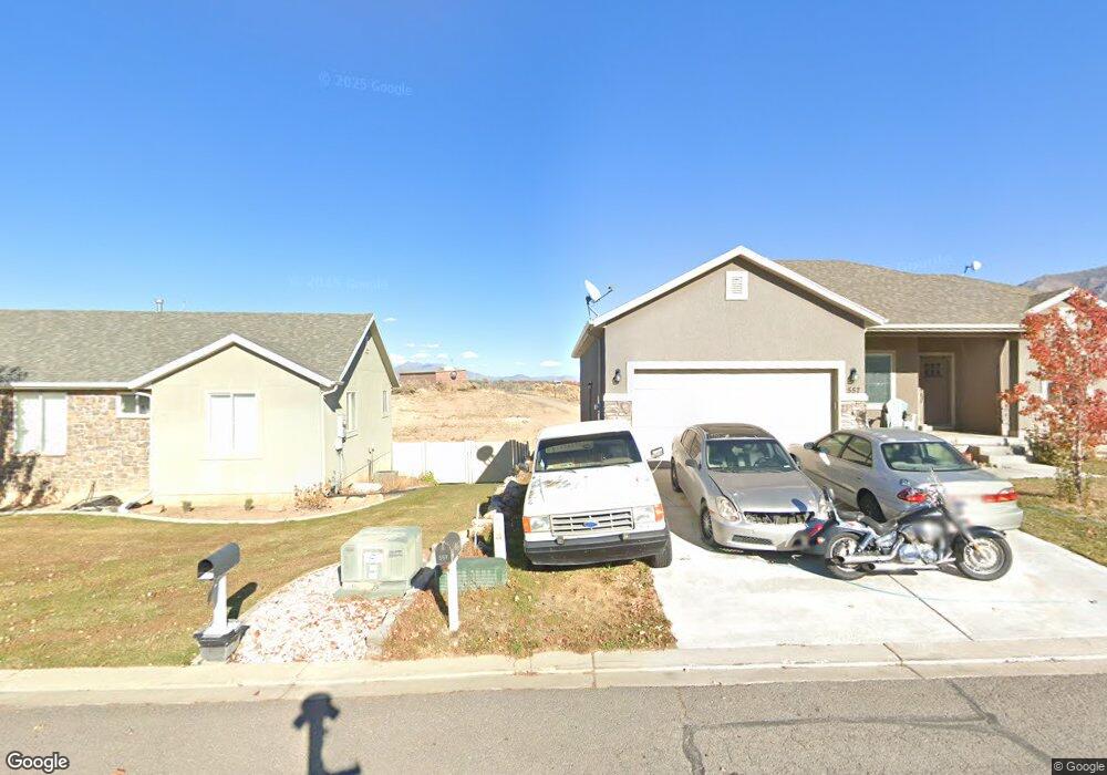
619 S Little Rock Srsh W Unit NEBO Santaquin, UT 84655
Estimated Value: $524,000 - $567,000
3
Beds
2
Baths
3,030
Sq Ft
$179/Sq Ft
Est. Value
About This Home
This home is located at 619 S Little Rock Srsh W Unit NEBO, Santaquin, UT 84655 and is currently estimated at $541,930, approximately $178 per square foot. 619 S Little Rock Srsh W Unit NEBO is a home located in Utah County with nearby schools including Santaquin Elementary School, Payson Junior High School, and Payson High School.
Ownership History
Date
Name
Owned For
Owner Type
Purchase Details
Closed on
Aug 6, 2015
Sold by
Salisbury Land Llc
Bought by
Salisbury Developers Inc
Current Estimated Value
Purchase Details
Closed on
Sep 29, 2011
Sold by
Summit Ridge Communities Llc
Bought by
Central Bank
Create a Home Valuation Report for This Property
The Home Valuation Report is an in-depth analysis detailing your home's value as well as a comparison with similar homes in the area
Home Values in the Area
Average Home Value in this Area
Purchase History
| Date | Buyer | Sale Price | Title Company |
|---|---|---|---|
| Salisbury Developers Inc | -- | Gt Title Services | |
| Central Bank | -- | None Available |
Source: Public Records
Tax History Compared to Growth
Tax History
| Year | Tax Paid | Tax Assessment Tax Assessment Total Assessment is a certain percentage of the fair market value that is determined by local assessors to be the total taxable value of land and additions on the property. | Land | Improvement |
|---|---|---|---|---|
| 2025 | $2,447 | $282,810 | $141,900 | $372,300 |
| 2024 | $2,447 | $243,650 | $0 | $0 |
| 2023 | $2,507 | $250,470 | $0 | $0 |
| 2022 | $2,707 | $278,905 | $0 | $0 |
| 2021 | $2,231 | $356,300 | $80,000 | $276,300 |
| 2020 | $2,148 | $332,400 | $66,700 | $265,700 |
| 2019 | $1,859 | $294,200 | $63,200 | $231,000 |
| 2018 | $1,703 | $257,000 | $56,100 | $200,900 |
| 2017 | $1,574 | $126,940 | $0 | $0 |
| 2016 | $1,385 | $109,395 | $0 | $0 |
| 2015 | $471 | $36,500 | $0 | $0 |
| 2014 | $472 | $36,500 | $0 | $0 |
Source: Public Records
Map
Nearby Homes
- 633 Little Rock Dr
- 583 Sunset Dr
- 926 S Tanner Rd
- 402 Topaz Dr
- 1202 W Hidden Spring Dr
- 1022 Vista Ridge Dr Unit 149
- 346 Red Rock Dr
- 1126 Valley View Dr
- 1245 Sageberry Dr
- 1186 S Vista Ridge Dr
- 1144 Crest Dale Ln
- 1287 Cedar Pass Dr Unit 113
- 1263 Crest Dale Ln
- 1858 W View Cove
- 1375 Oakdale Dr
- 1276 W View Dr
- 1851 W View Cove
- 1859 W View Cove
- 1302 W View Dr
- 1341 W View Dr
- 619 Little Rock Dr Unit 58
- 625 Little Rock Dr Unit 59
- 625 Little Rock Dr
- 613 Little Rock Dr Unit 57
- 629 Little Rock Dr Unit 60
- 629 Little Rock Dr Unit MELROS
- 609 S Little Rock W Sh W Unit NEBO
- 609 Little Rock Dr Unit 56
- 609 Little Rock Dr Unit CHAMBE
- 620 Little Rock Dr
- 620 Little Rock Dr Unit 79
- 616 Little Rock Dr
- 624 Little Rock Dr
- 624 Little Rock Dr Unit 78
- 605 Little Rock Dr Unit 55
- 633 Little Rock Dr Unit 61
- 633 Little Rock Dr Unit MASON
- 633 S Little Rock W Sh W Unit CHAMBE
- 644 Stonebrook Ln
- 604 Copper Ln Unit 81