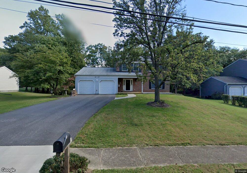
619 St Paul Ave Reisterstown, MD 21136
Estimated Value: $411,000 - $540,000
5
Beds
4
Baths
1,974
Sq Ft
$234/Sq Ft
Est. Value
About This Home
This home is located at 619 St Paul Ave, Reisterstown, MD 21136 and is currently estimated at $461,254, approximately $233 per square foot. 619 St Paul Ave is a home located in Baltimore County with nearby schools including Glyndon Elementary School, Franklin Middle, and Franklin High.
Ownership History
Date
Name
Owned For
Owner Type
Purchase Details
Closed on
Jun 24, 2015
Sold by
U S Bank National Association
Bought by
Groth Stephen N
Current Estimated Value
Home Financials for this Owner
Home Financials are based on the most recent Mortgage that was taken out on this home.
Original Mortgage
$202,350
Interest Rate
3.87%
Mortgage Type
New Conventional
Purchase Details
Closed on
May 29, 2014
Sold by
Lartey Wilhelmina
Bought by
Us Bank National Association
Purchase Details
Closed on
Nov 24, 2003
Sold by
Orth Mark P
Bought by
Lartey Wilhelmina
Purchase Details
Closed on
Dec 31, 2002
Sold by
Gehman Robert K
Bought by
Orth Mark P and Erickson David A
Create a Home Valuation Report for This Property
The Home Valuation Report is an in-depth analysis detailing your home's value as well as a comparison with similar homes in the area
Home Values in the Area
Average Home Value in this Area
Purchase History
| Date | Buyer | Sale Price | Title Company |
|---|---|---|---|
| Groth Stephen N | $213,000 | Premium Title | |
| Us Bank National Association | $242,250 | None Available | |
| Lartey Wilhelmina | $299,000 | -- | |
| Orth Mark P | $264,000 | -- |
Source: Public Records
Mortgage History
| Date | Status | Borrower | Loan Amount |
|---|---|---|---|
| Previous Owner | Groth Stephen N | $202,350 |
Source: Public Records
Tax History Compared to Growth
Tax History
| Year | Tax Paid | Tax Assessment Tax Assessment Total Assessment is a certain percentage of the fair market value that is determined by local assessors to be the total taxable value of land and additions on the property. | Land | Improvement |
|---|---|---|---|---|
| 2025 | $4,435 | $336,267 | -- | -- |
| 2024 | $4,435 | $303,500 | $92,700 | $210,800 |
| 2023 | $2,196 | $300,367 | $0 | $0 |
| 2022 | $4,302 | $297,233 | $0 | $0 |
| 2021 | $4,158 | $294,100 | $92,700 | $201,400 |
| 2020 | $4,158 | $286,167 | $0 | $0 |
| 2019 | $4,039 | $278,233 | $0 | $0 |
| 2018 | $3,922 | $270,300 | $92,700 | $177,600 |
| 2017 | $4,580 | $270,300 | $0 | $0 |
| 2016 | $4,426 | $283,500 | $0 | $0 |
| 2015 | $4,426 | $272,600 | $0 | $0 |
| 2014 | $4,426 | $272,600 | $0 | $0 |
Source: Public Records
Map
Nearby Homes
- 12406 Old Grey Mare Ct
- 10 Greensborough Rd
- 12 Greensborough Rd
- 341 Central Ave
- 12331 Boncrest Dr
- 12314 Bonfire Dr
- 648 Glynock Place
- 15 Gloucester Ct
- 120 Lamport Rd
- 1 Brampton Ct
- 7 Putman Ct
- 10 Simpson Ct
- 3 Meadow Mist Ct
- 10944 Baskerville Rd
- 259 E Chatsworth Ave
- 13 Bellinger Ct
- 12 Timber Run Ct
- 49 Merino Ct
- 570 Kennington Rd
- 225 Highmeadow Rd
- 619 Saint Paul Ave
- 617 Saint Paul Ave
- 621 Saint Paul Ave
- 18 Saint Paul Ave
- 615 Saint Paul Ave
- 14 Paterwal Ct
- 22 Saint Paul Ave
- 15 Paterwal Ct
- 16 Saint Paul Ave
- 613 Saint Paul Ave
- 626 Saint Paul Ave
- 26 Saint Paul Ave
- 14 Saint Paul Ave
- 10 Paterwal Ct
- 624 Saint Paul Ave
- 611 Saint Paul Ave
- 13 Paterwal Ct
- 12 Dyson Dan Ct
- 10 Dyson Dan Ct
- 6 Dyson Dan Ct