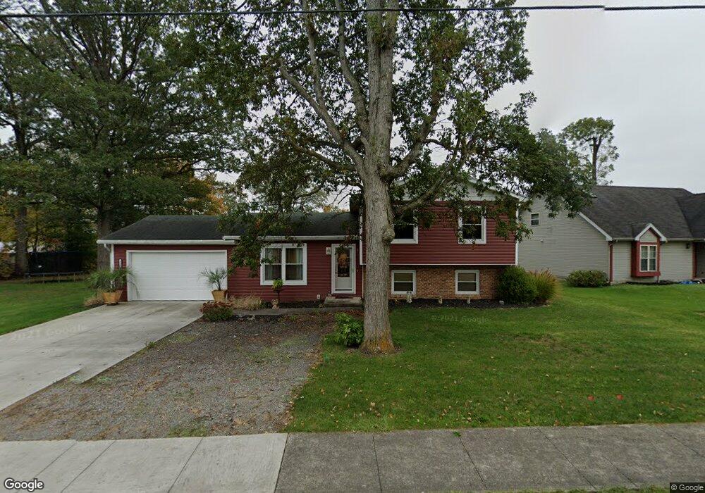
619 State Route 708 Russells Point, OH 43348
Estimated Value: $203,185 - $245,000
3
Beds
2
Baths
1,532
Sq Ft
$148/Sq Ft
Est. Value
About This Home
This home is located at 619 State Route 708, Russells Point, OH 43348 and is currently estimated at $227,046, approximately $148 per square foot. 619 State Route 708 is a home located in Logan County with nearby schools including Indian Lake Elementary School, Indian Lake Middle School, and Indian Lake High School.
Ownership History
Date
Name
Owned For
Owner Type
Purchase Details
Closed on
Aug 21, 2018
Sold by
Bendele Marvin C
Bought by
Bendele Shane M and Maas Angela B
Current Estimated Value
Purchase Details
Closed on
Jul 18, 2018
Sold by
Bendele Marvin C and Ram Revocable Trust
Bought by
Bendele Marvin C
Purchase Details
Closed on
Mar 23, 2010
Bought by
Marvin C Bendele
Purchase Details
Closed on
Oct 21, 2009
Bought by
Federal Home Loan Mortgage Corporation
Purchase Details
Closed on
Feb 25, 2005
Bought by
Henry Richard L
Purchase Details
Closed on
Sep 14, 2004
Bought by
Secretary Of Housing And
Purchase Details
Closed on
Jun 30, 2000
Bought by
Phillips Ryan A
Purchase Details
Closed on
Jan 28, 2000
Bought by
New Century Mortgage
Create a Home Valuation Report for This Property
The Home Valuation Report is an in-depth analysis detailing your home's value as well as a comparison with similar homes in the area
Home Values in the Area
Average Home Value in this Area
Purchase History
| Date | Buyer | Sale Price | Title Company |
|---|---|---|---|
| Bendele Shane M | -- | None Available | |
| Bendele Marvin C | -- | None Available | |
| Marvin C Bendele | $48,500 | -- | |
| Federal Home Loan Mortgage Corporation | $46,700 | -- | |
| Henry Richard L | -- | -- | |
| Secretary Of Housing And | -- | -- | |
| Phillips Ryan A | $80,000 | -- | |
| New Century Mortgage | -- | -- |
Source: Public Records
Tax History Compared to Growth
Tax History
| Year | Tax Paid | Tax Assessment Tax Assessment Total Assessment is a certain percentage of the fair market value that is determined by local assessors to be the total taxable value of land and additions on the property. | Land | Improvement |
|---|---|---|---|---|
| 2024 | $1,767 | $40,370 | $8,800 | $31,570 |
| 2023 | $1,767 | $40,370 | $8,800 | $31,570 |
| 2022 | $1,803 | $33,650 | $7,340 | $26,310 |
| 2021 | $1,704 | $33,650 | $7,340 | $26,310 |
| 2020 | $1,706 | $32,830 | $5,780 | $27,050 |
| 2019 | $1,720 | $32,830 | $5,780 | $27,050 |
| 2018 | $1,671 | $32,830 | $5,780 | $27,050 |
| 2016 | $1,508 | $31,540 | $5,780 | $25,760 |
| 2014 | $1,488 | $31,540 | $5,780 | $25,760 |
| 2013 | $1,411 | $31,540 | $5,780 | $25,760 |
| 2012 | $1,698 | $37,110 | $5,780 | $31,330 |
Source: Public Records
Map
Nearby Homes
- 718 Grand Ave
- 718 High Ave
- 224 Oakcrest Ct
- 000 Miami Ave
- 213 Russell St
- 222 Park Ave
- 202 Grand Ave
- 130 Sunnyside Ave
- 0 Maple Unit 1040900
- 0 Crystal Beach Island Unit 225020350
- 6 Fun Dr
- 208 Clermont Ave
- 129 Chase Ave Unit 11U
- 246 N Orchard Island Rd Unit 52
- 8979 Ohio 235
- 222 Warren Ave Unit 3
- 8979 State Route 235
- 285 N Orchard Island Rd Unit lot 66
- 202 W Main St
- 211 W Main St
- 411 State Route 708
- 623 State Route 708
- 609 State Route 708
- 432 State Route 708
- 703 State Route 708
- 403 State Route 708
- 910 State Route 708
- 904 State Route 708
- 226 State Route 708
- 813 State Route 708
- 707 State Route 708
- 325 State Route 708
- 319 State Route 708
- 311 State Route 708
- 943 State Route 708
- 935 State Route 708
- 936 State Route 708
- 920 State Route 708
- 826 State Route 708
- 7157 State Route 708