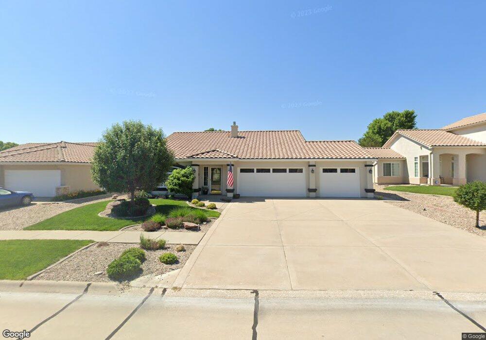
619 W 35th St Hastings, NE 68901
Estimated Value: $402,000 - $484,000
2
Beds
3
Baths
1,856
Sq Ft
$238/Sq Ft
Est. Value
About This Home
This home is located at 619 W 35th St, Hastings, NE 68901 and is currently estimated at $441,910, approximately $238 per square foot. 619 W 35th St is a home located in Adams County with nearby schools including Hastings Senior High School and St. Cecilia High School.
Ownership History
Date
Name
Owned For
Owner Type
Purchase Details
Closed on
Apr 1, 2015
Sold by
Farley Craig T and Farley Teresa J
Bought by
Beard Patricia A
Current Estimated Value
Home Financials for this Owner
Home Financials are based on the most recent Mortgage that was taken out on this home.
Original Mortgage
$160,000
Interest Rate
3.82%
Mortgage Type
New Conventional
Purchase Details
Closed on
Mar 30, 2012
Sold by
Nelson Doandl C and Nelson Muriel J
Bought by
Farley Craig T and Farley Teresa J
Home Financials for this Owner
Home Financials are based on the most recent Mortgage that was taken out on this home.
Original Mortgage
$224,100
Interest Rate
3.91%
Mortgage Type
New Conventional
Create a Home Valuation Report for This Property
The Home Valuation Report is an in-depth analysis detailing your home's value as well as a comparison with similar homes in the area
Home Values in the Area
Average Home Value in this Area
Purchase History
| Date | Buyer | Sale Price | Title Company |
|---|---|---|---|
| Beard Patricia A | $264,000 | Nebraska Title Company | |
| Farley Craig T | $24,900 | None Available |
Source: Public Records
Mortgage History
| Date | Status | Borrower | Loan Amount |
|---|---|---|---|
| Previous Owner | Beard Patricia A | $160,000 | |
| Previous Owner | Farley Craig T | $224,100 |
Source: Public Records
Tax History Compared to Growth
Tax History
| Year | Tax Paid | Tax Assessment Tax Assessment Total Assessment is a certain percentage of the fair market value that is determined by local assessors to be the total taxable value of land and additions on the property. | Land | Improvement |
|---|---|---|---|---|
| 2024 | $5,481 | $338,821 | $38,306 | $300,515 |
| 2023 | $6,164 | $298,211 | $38,306 | $259,905 |
| 2022 | $6,722 | $298,211 | $38,306 | $259,905 |
| 2021 | $5,116 | $233,038 | $32,448 | $200,590 |
| 2020 | $5,026 | $233,038 | $32,448 | $200,590 |
| 2019 | $4,969 | $233,038 | $32,448 | $200,590 |
| 2018 | $4,892 | $227,605 | $27,015 | $200,590 |
| 2017 | $4,891 | $227,605 | $0 | $0 |
| 2016 | $4,615 | $214,480 | $27,015 | $187,465 |
| 2011 | -- | $159,530 | $22,530 | $137,000 |
Source: Public Records
Map
Nearby Homes
- 3610 Wendell Dr
- 602 Dockside Cove
- 2907 Lakeview Cove
- 2900 Wendell Dr
- XXX E Osborne Dr
- 1106 Lakeridge Dr
- 3109 W Laux Dr
- 3107 W Laux Dr
- 3013 W Laux Dr
- 3117 Frahm Ln
- 604 Brooking Cir
- 1314 N Shore Dr
- 3221 Frahm Ln
- 3011 E Laux Dr
- 2608 Market Ln
- 2604 Market Ln
- 843 Highland Dr
- 0 Jordan Way
- 15 Village Dr
- 1407 N Denver Ave